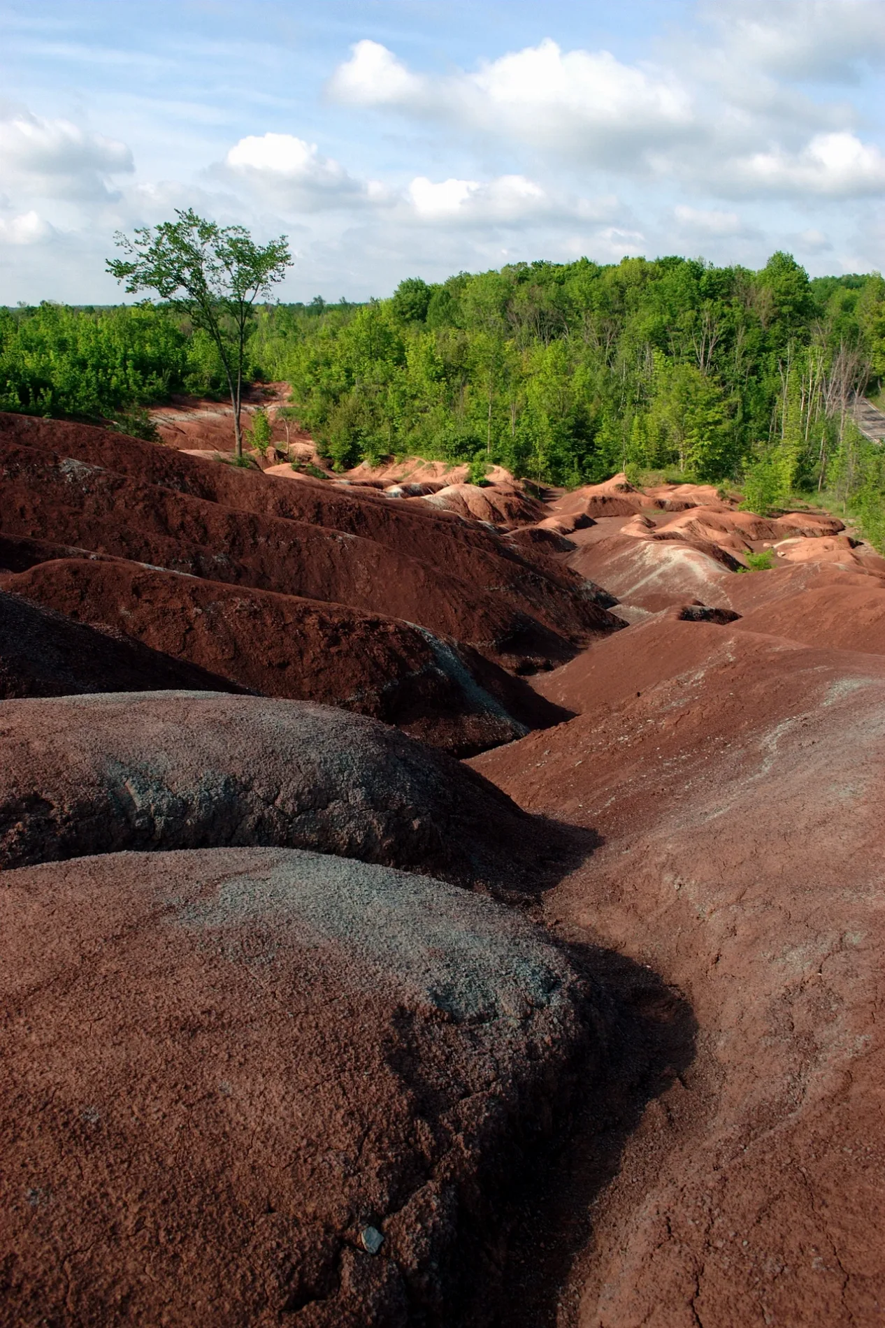
Peel Region

This page is the City map of Peel Region in Ontario, Canada, showing roads, paths and places across the region. Peel Region lies in the Golden Horseshoe and covers approximately 1,246.9 square kilometres. About 1,381,739 people lived in the regional municipality in 2016. Founded in 1974, Peel Region is divided into three municipalities: Mississauga, Brampton and Caledon.

Peel Region – Facts

Inhabitants 1381739
Area 1246.9 km²
Subregions 3
Inception 1974
Located in Ontario
Country Canada
Part of Greater Toronto Area
Website http://www.peelregion.ca/

Data source: Wikidata (CC0)

Mississauga

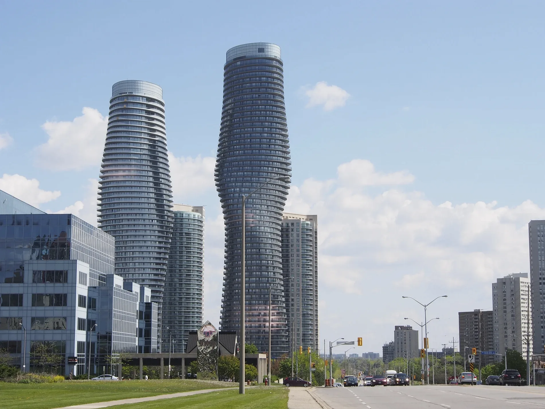
Mississauga is a city in Ontario and the largest municipality in Peel Region by population, with 717,961 residents recorded in the supplied data. Its area is approximately 292.4 square kilometres, and the city has an elevation of 161 metres.

Mississauga became a city in 1968 and occupies the southern part of Peel Region within the Golden Horseshoe. As one of the three municipalities in Peel Region, it forms a major urban component of the regional municipality west of Toronto.
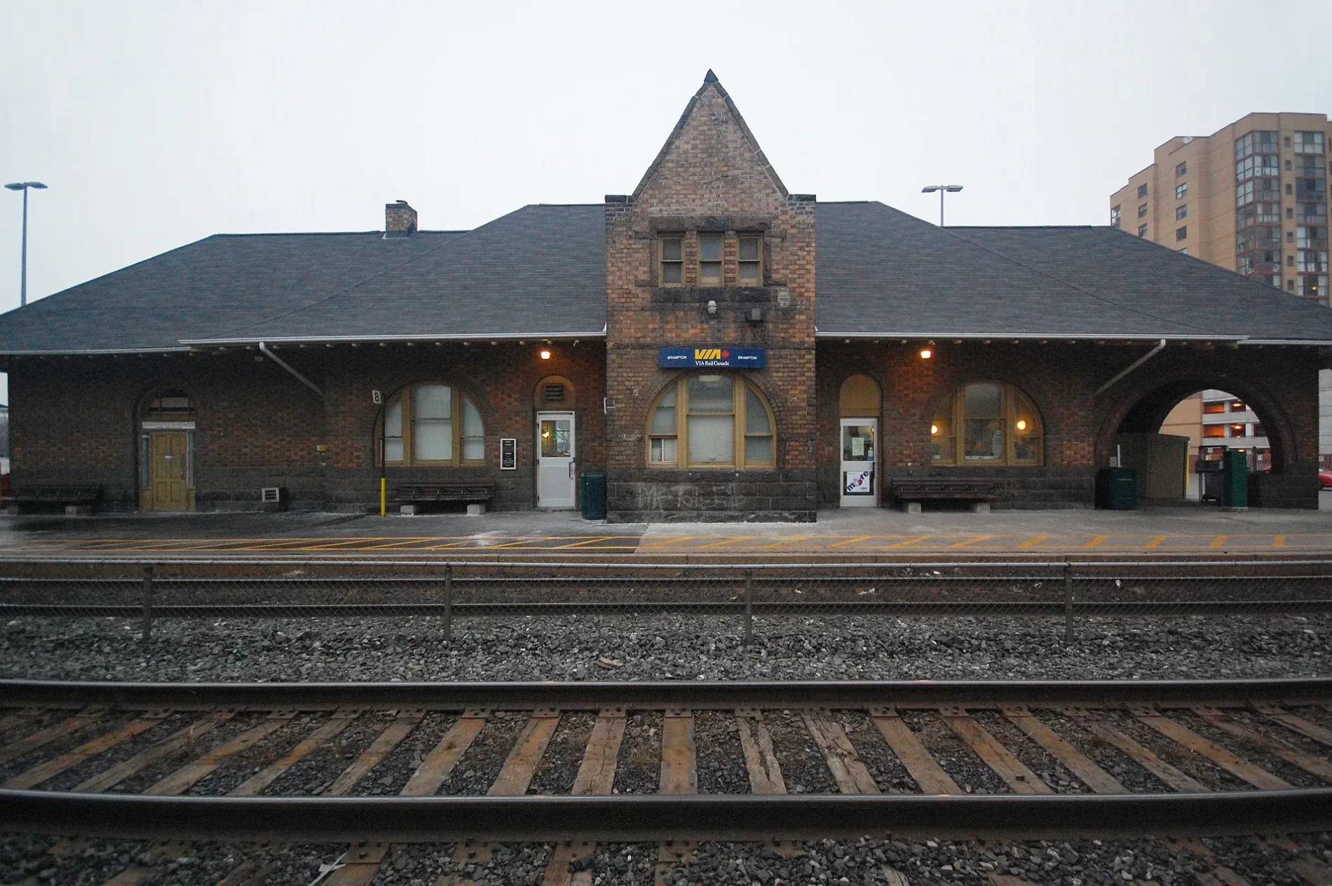
Brampton

Brampton is a city in Ontario with a recorded population of 656,480. The city covers approximately 266.71 square kilometres and has an elevation of 218 metres.

Brampton was established in 1853 and is one of the three municipalities that make up Peel Region. Located in the Golden Horseshoe, it occupies the central part of the regional municipality between Mississauga and Caledon.

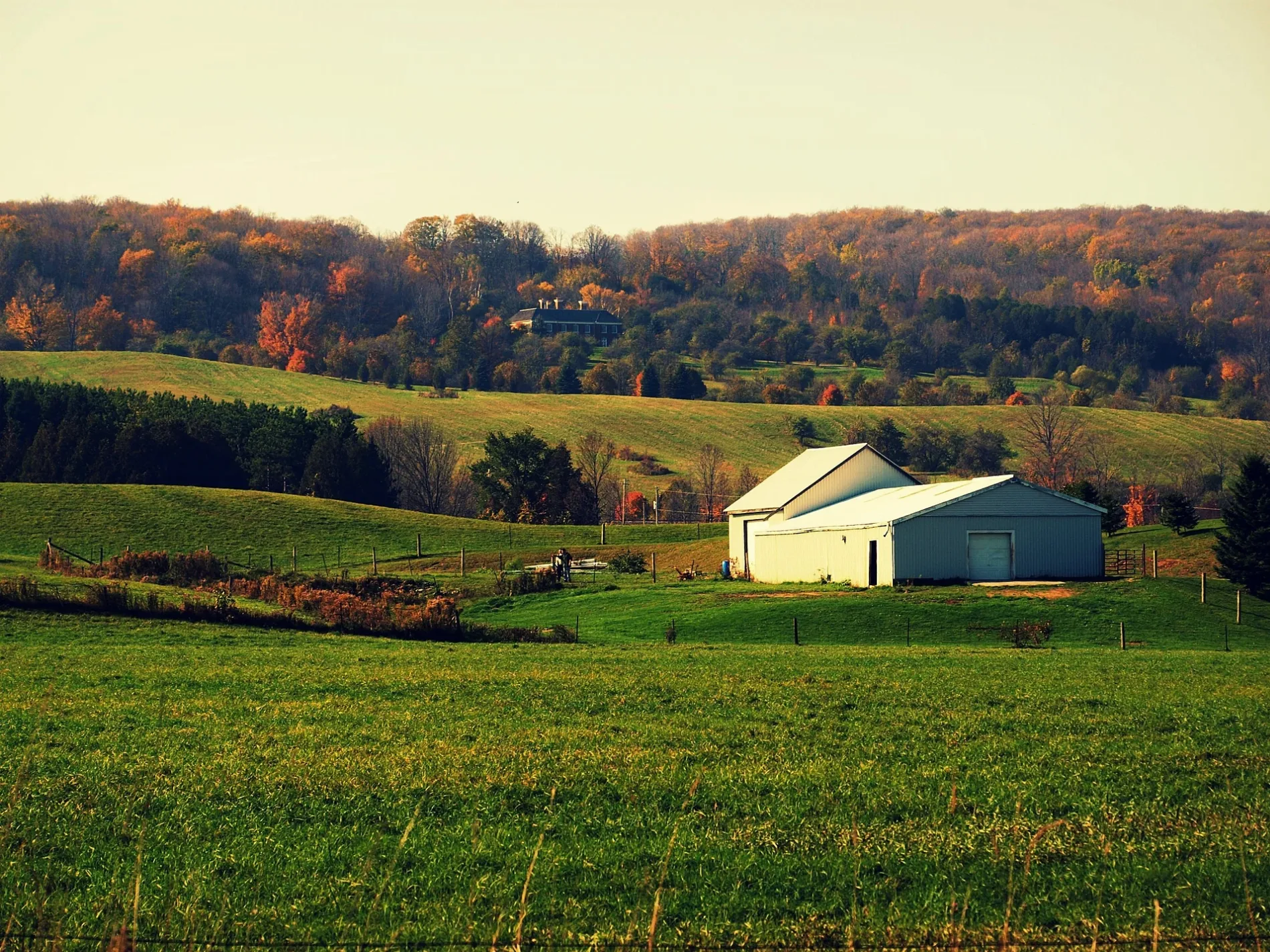
Caledon

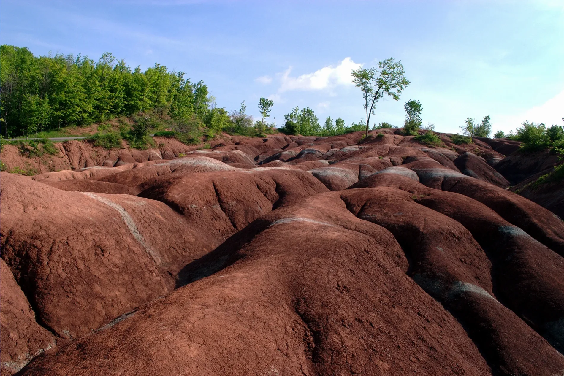
Caledon is a geographic township in Ontario and the northernmost of Peel Region’s three municipalities. The supplied data records a population of 66,502 for Caledon.

The municipality extends across the rural and northern part of Peel Region in the Golden Horseshoe. Together with the cities of Mississauga and Brampton, Caledon forms the Regional Municipality of Peel, established in 1974.

Data sources: OpenStreetMap (ODbL), Wikidata (CC0)