
Caledon, Ontario
Caledon is located in Peel Region. Around 66,502 people live here. Caledon has around 3.736 streets. Caledon is geographic township in Ontario, Canada. Among other things, Caledon has public transport, restaurants, cafés, supermarkets, clothing stores, attractions, schools, banks, hairdressers, dentists and pharmacies.
Caledon – Facts
| Inhabitants | 66.502 |
|---|---|
| Located in | Ontario, Regional Municipality of Peel |
| Country | Canada |
| Website | http://www.town.caledon.on.ca |
Data source: Wikidata (CC0)
Photos from Caledon
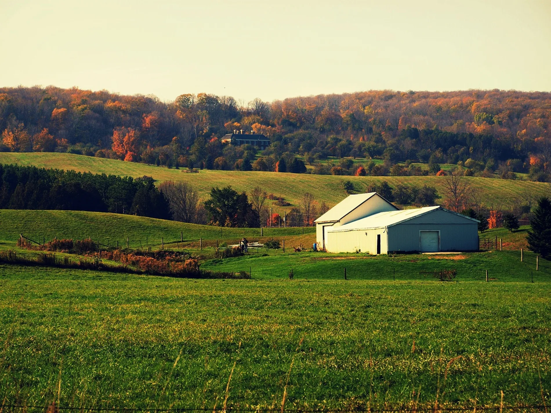

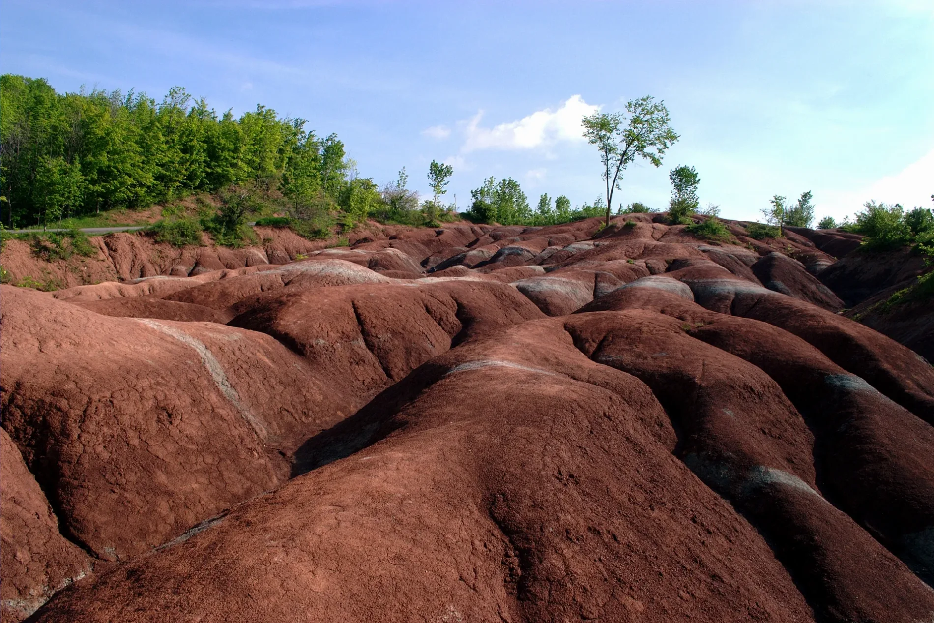
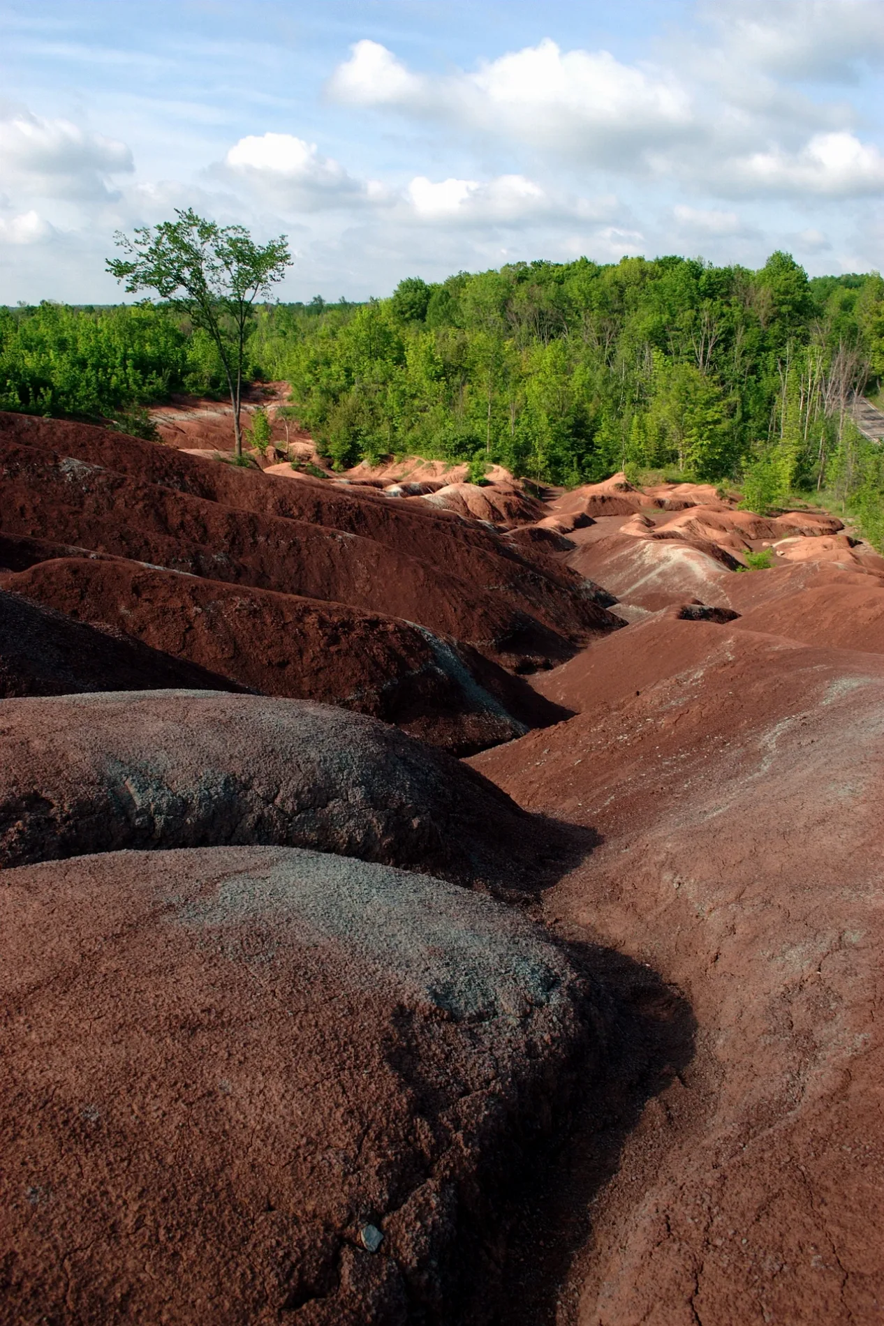
Caledon
This page is the city map of Caledon in Ontario, Canada, showing streets, paths and places across the region. Caledon is a geographic township within Peel Region and covers a large rural area northwest of Toronto. Around 66,502 people live in Caledon. The municipality includes communities and settled areas connected by the regional road network of Peel Region and the wider Greater Toronto Area.
Data sources: OpenStreetMap (ODbL), Wikidata (CC0)
Roads in Caledon, Ontario
Roads
Land Use
Banks
Buildings
Cafés
Car repair shops
Cemeteries
Golf courses
Hotels
Industrial buildings
Parks
Petrol stations
Places of worship
Restaurants
School buildings
Streams
| Railway | |
| Bus | |
| Tram |
| Cycle path | |
| Cycle lane on road | |
| Cycling on bus lane | |
| Bicycle street | |
| Cyclists allowed | |
| Cyclists allowed, good surface | |
| No cycling | |
| Cobblestones |
| Long-distance cycle route | (depending on scale) | |
| Long-distance cycle route |
| Path |
| Long-distance hiking trail | (depending on scale) | |
| Long-distance hiking trail | ||
| No pedestrians |