
Mill Street North in Brampton
Mill Street North in Brampton is a two-lane, asphalted residential street (50 km/h). It runs in a southeast-northwest direction starting from Rosedale Avenue West and crosses David Street, Joseph Street, Church Street West, Railroad Street and Nelson Street West and ends at Queen Street West.
- Road Type
- residential street
- Speed Limit
- 50
- Lanes
- 2
- Route
- southeast-northwest
Image
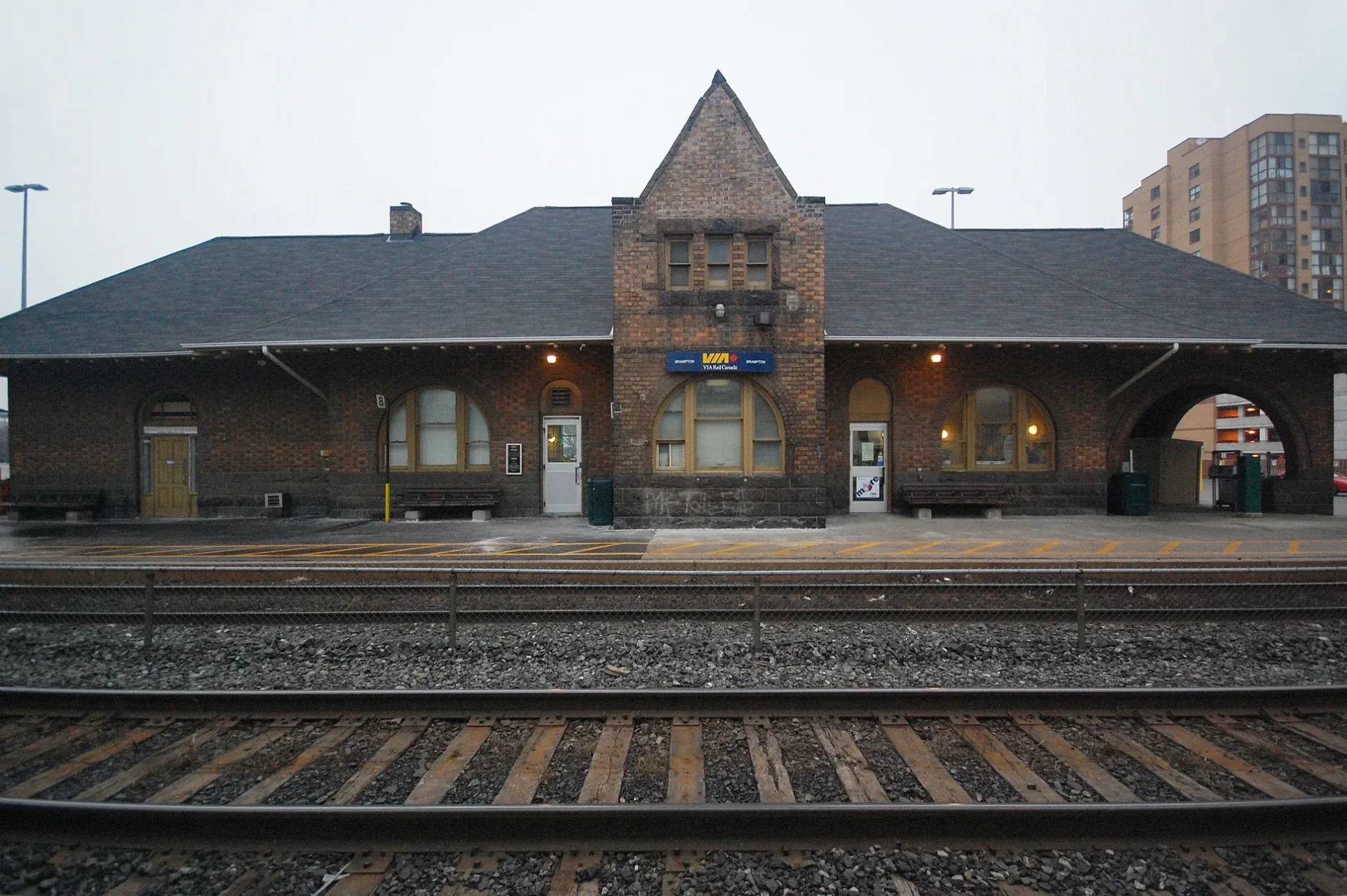
Stations
Vending machines
Convenience stores
Off-licences
Bus stops
Restaurants
Platforms
Money transfer offices
Fast food restaurants
Dentist
Roads nearby
Market Street200 m
Joseph Street200 m
Park Street200 m
Denison Avenue250 m
Railroad StreetBrampton Innovation District, Presto, West Street, McMurchy Avenue North, Brampton
250 m
Elizabeth Street North300 m
George StreetGeorge’s Corner Store, LCBO, Sushi Brampton, Fanzorelli's Restaurant & Lounge, Grillies, North American School
300 m
George Street NorthDowntown Terminal Route 1/1A EB, Downtown Terminal Route 1/1A/561 WB, Brampton Downtown Bus Terminal, Downtown Terminal Route, Brampton Downtown Terminal GO Bus
300 m
Church Street WestSushi House
300 m
Thomas Street300 m
Purple Finch Court350 m
West StreetWest Street
350 m
Main Street NorthSharmz, Main St N at Church St, Nelson Zum Main Station Southbound, Theatre Lane Zum Main Station Northbound, Cristina's Bakery & Grill, Brampton Innovation District, Spicy Island Jerk, Main Street North of Nelson Street, Main St at Sproule Dr, A Healing Place Health Centre, Main St N at Rosedale Ave, Brampton East Medical Group/Queenwest Medical Associates, Main St. Pharmacy, Main St N at Brickyard Way, Main St s/of Bovaird Dr, National Bank, Pioneer, David-Andrew Gentlemen Clothiers, Hooper's Pharmacy, Tadka King, Algoma University, Dental Office, Pawn Kings, Bovaird, Main St. N. @ Bovaird Dr. W., Brampton City Hall - McArter Lane Entrance, Wellington ZUM - SB - Bike Rack, Main St N at Queen St W, Main St N n/of Queen St E, Garden Square, Main St & Williams Pkwy, Gino's Pizza, Crown & Anchor, Nails & Spa's Galaxy, I.D.A., Mane Attraction Hair Studio, Al-Ameen Elementary School, Golden Grains Bakery, Portas Do Mar Bar & Grill, Marca College, Once Upon a Child, Main St N btwn Brickyard Way & Quarry Edge Dr, Main St. N. @ Williams Pkwy., Beauty Supply Outlet, Main St N at English St, Sol de Ora Tanning & Sp, Vin Bon, Evolve Financial, Sonique Hair Design, Ladies' Facial & Spa, Dia Dentistry, Shawarma Point Wingz N Thingz, African Royal Foods, Thistle Pharmacy, Chennai Express, Golden Tattoo Parlour, Subway, Fat Bastard Burrito, Toshi Japanese Restaurant, Expedia CrusieShipCentres, Shawarma Queen, Dosa Den, Main St N at Gillingham Dr, Main St N at Quarry Edge Dr, Pay2Day, King's Point Plaza Canada Post, Main St s/of Brickyard Way, Main St. N. @ Vodden St. W., Main St. N. @ Vodden St. E., Money Mart, Punjabi Chaap Corner, Vodden Medical Pharmacy, Harvey's, EYES Childcare
400 m
Nelson Street WestDawson Dental, Downtown Terminal Route 52 SB, Brampton Downtown Terminal GO Bus, Ria, Downtown Terminal Route 501/501A EB
400 m
Flowering Vine Lane400 m
Rosedale Avenue West400 m
Diplock LaneNelson Square Parking Garage
450 m
McKinney LaneThe Wee Smoke Shop
450 m
Theatre LaneRose Theatre Parking Garage, BMO, Algoma University
450 m
Sand Wedge Lane450 m
Nelson LaneM&M Food Market, 1 Hr. Cleaners
450 m
Queen Street WestQueen St W at Elizabeth St S, Mississauga Rd & Queen St, RBC, Trish Juice, McMurchy - Zum Queen West Station Stop WB, Queen St W at Mercer Dr, Queen St W opp Mercer Dr, Eazy Auto Service, Avicenna Medical Arts Building, Castlemore Auto Sales, Queen St W at Park St, Mint Eyecare, Little Bloomers Childcare Centre, Knowledge Bookstore, Brampton’s Main Opticians, Mississauga Rd - Zum Queen West Station Stop WB, Lullaboo, TD, Züm Chinguacousy, Lazeez Shawarma, Queen St W at Sobey's Entrance (WB), Sherwin-Williams, Freedom Mobile, Queen St W e/of Major William Sharpe, Chinguacousy - Zum Queen West Station Stop WB, Sun Health Care, Dental Centre, Queen St W e/of Lockwood Rd, Creditview - Zum Queen West Station Stop WB, Creditview - Zum Queen West Station Stop EB, Queen St opp Elbern Markell Dr, Guardian, Queen St W at Mill St N, Blouds Dispensary, Pharmasave, Sarbat Foods Indian Cuisine, McLaughlin - Zum Queen West Station Stop WB, McLaughlin - Zum Queen West Station Stop EB, Queen St w/of Royal West Dr, Queen St opp Links Lane, Queen St W w/of Links Lane, Shawarma King, Eggsmart, Subway, #9 Auto Sales Ltd., Queen St W w/of Drinkwater Rd, Queen St W w/of Angelgate Rd
450 m
Vivian Lane450 m
Rock Haven Lane450 m
McArter LaneLot 25, Subway
450 m
Garden Park Lane500 m
Dalton LaneThe Palace Beauty Supplies Inc.
500 m
Limestone Edge Lane500 m
Gemstone Lane550 m
George Street SouthThe Rock School, West Tower Parking Garage, City Hall Parkade, Sulirmaos Southern Brothers Foodery, Brampton City Hall, Pos Bueno Mexican Restaurant & Bar, Sunset Grill
550 m
Byng Avenue550 m
McMurchy Avenue NorthDollar Discount Mart, ABC Convenience
600 m
Elliott StreetKing Hair Salon
600 m
Haggert Avenue NorthMcQueen Automotive, Parkland Pre-Owned Center, Autopro Chan's Auto Centre
600 m
McMurchy Avenue SouthSavora Grocery, International Soccer Games, Joe's Pizzeria, Becker's, Casa Europa Sports Bar
600 m
Buildings nearby
Heritage Theatre450 m
Apartment buildings nearby
The Renaissance Condominums400 m
Shirewood Place550 m
Buildings nearby
The Wright Castle250 m
Car parks nearby
Nelson Square Parking Garage450 m
Commercial buildings nearby
The Old Shoe Factory100 m
City of Brampton West Tower550 m
Detached houses nearby
Haggertlea300 m
Disused railways nearby
OBRY Owen Sound Subdivision550 m
Industrial areas nearby
Rosedale Industral Plaza200 m
Office buildings nearby
I.T.F. Centre300 m
Places of worship nearby
Christ Church Anglican450 m
Railway lines nearby
Halton Subdivision150 m
Sports centres nearby
Making Waves Swim School500 m
Public transport map Brampton Legend
| Railway | |
| Bus | |
| Tram |
Cycling map Brampton Legend
| Cycle path | |
| Cycle lane on road | |
| Cycling on bus lane | |
| Bicycle street | |
| Cyclists allowed | |
| Cyclists allowed, good surface | |
| No cycling | |
| Cobblestones |
| Long-distance cycle route | (depending on scale) | |
| Long-distance cycle route |
Walking map Brampton Legend
| Path |
| Long-distance hiking trail | (depending on scale) | |
| Long-distance hiking trail | ||
| No pedestrians |