
Lucan Biddulph
Lucan Biddulph is located in Middlesex County. Around 4,700 people live here. Lucan Biddulph has around 261 streets. Lucan Biddulph is township municipality in Ontario, Canada. Among other things, Lucan Biddulph has restaurants, cafés, supermarkets, museums, banks and pharmacies. For more information, see www.lucanbiddulph.on.ca.
Lucan Biddulph – Facts
| Inhabitants | 4.700 |
|---|---|
| Located in | Middlesex County |
| Country | Canada |
| Website | https://www.lucanbiddulph.on.ca |
Data source: Wikidata (CC0)
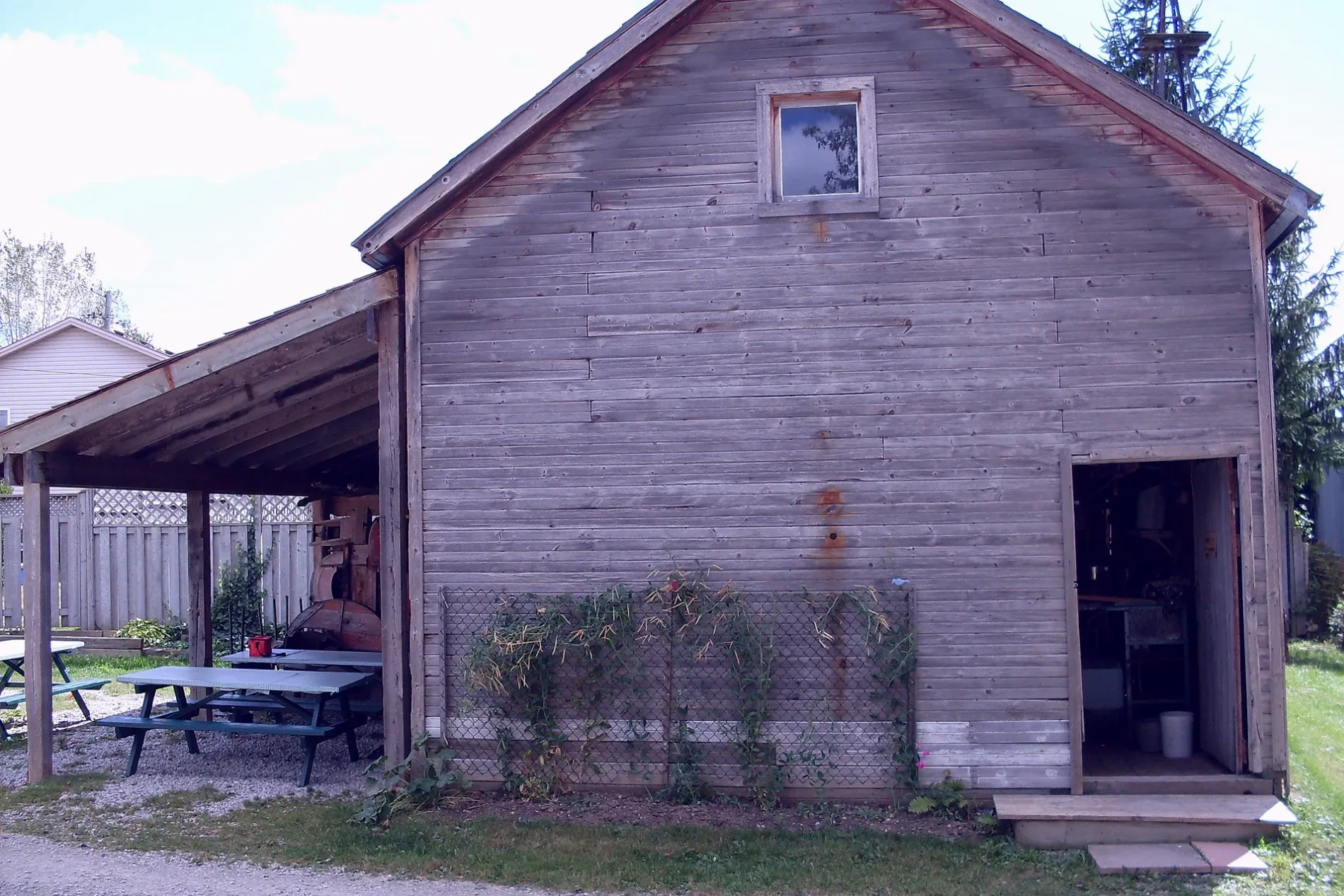
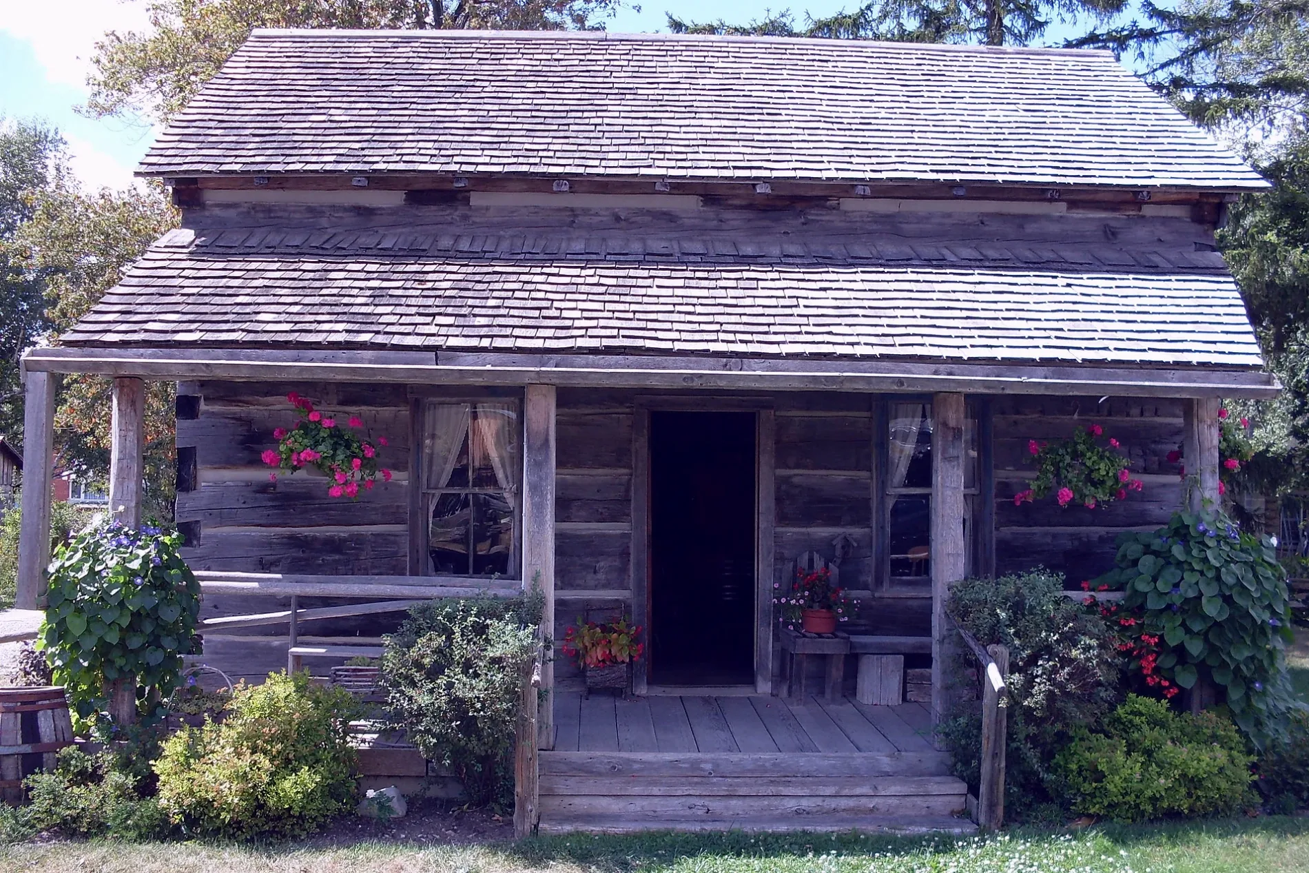
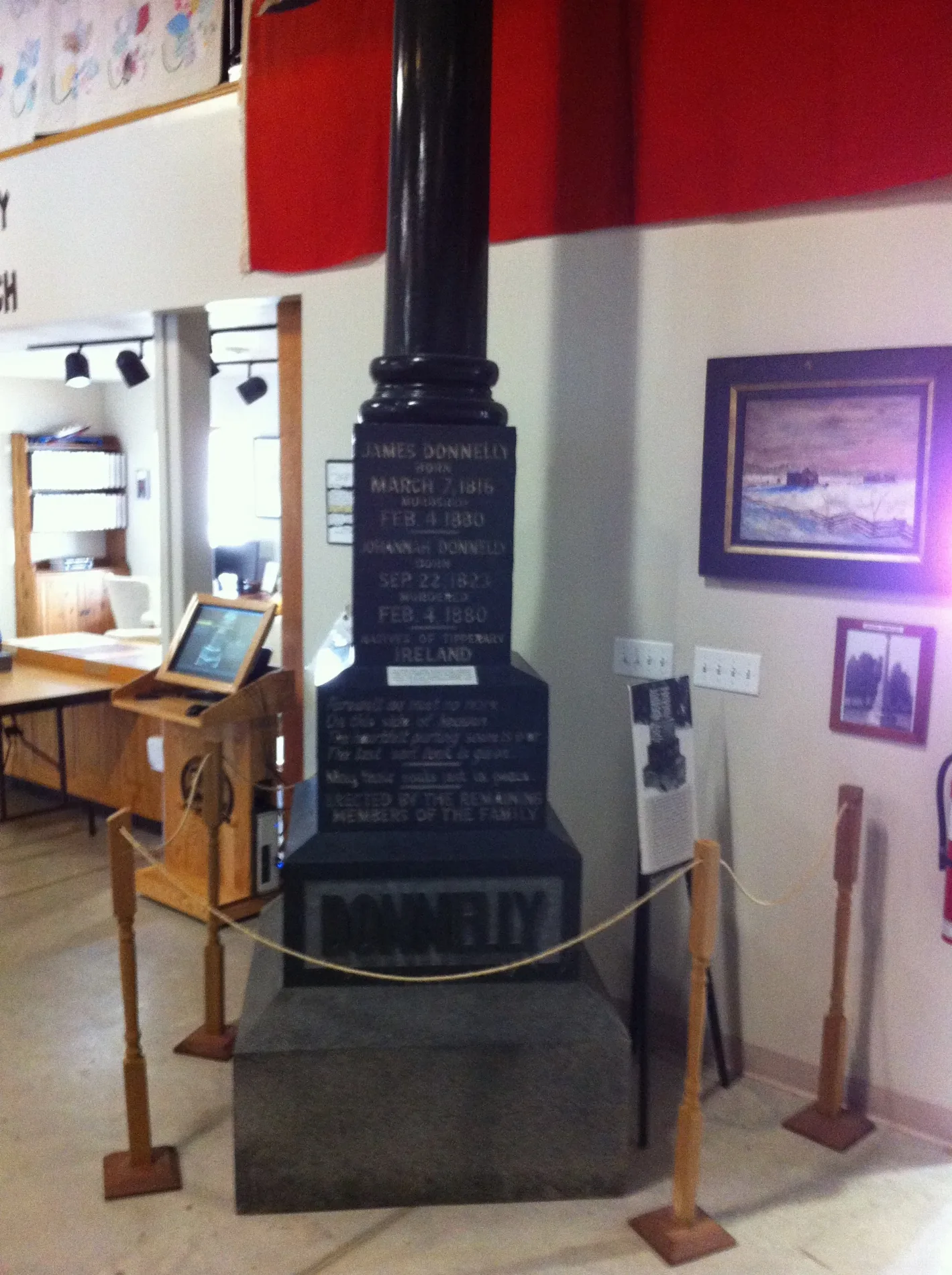
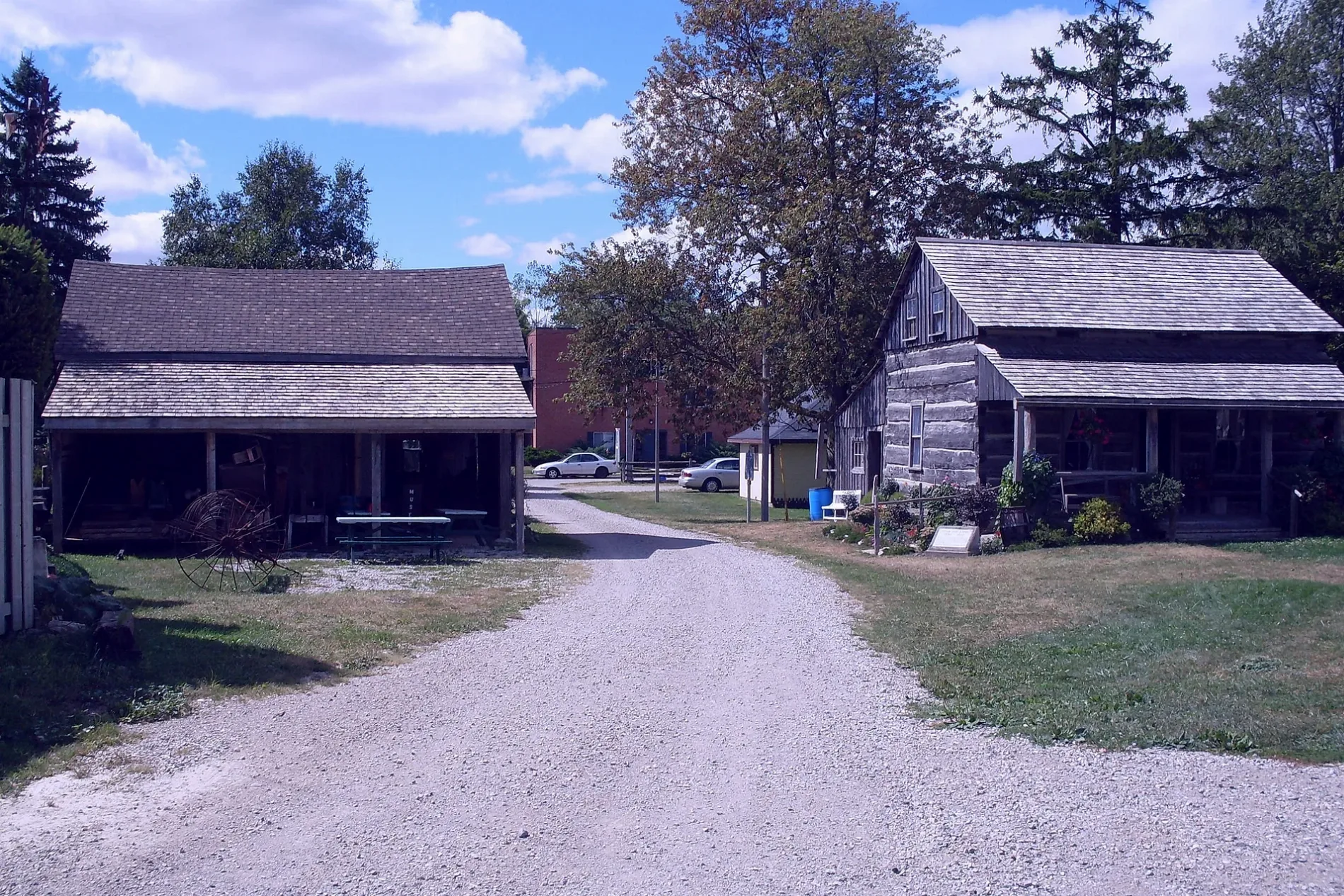
Photos from Lucan Biddulph
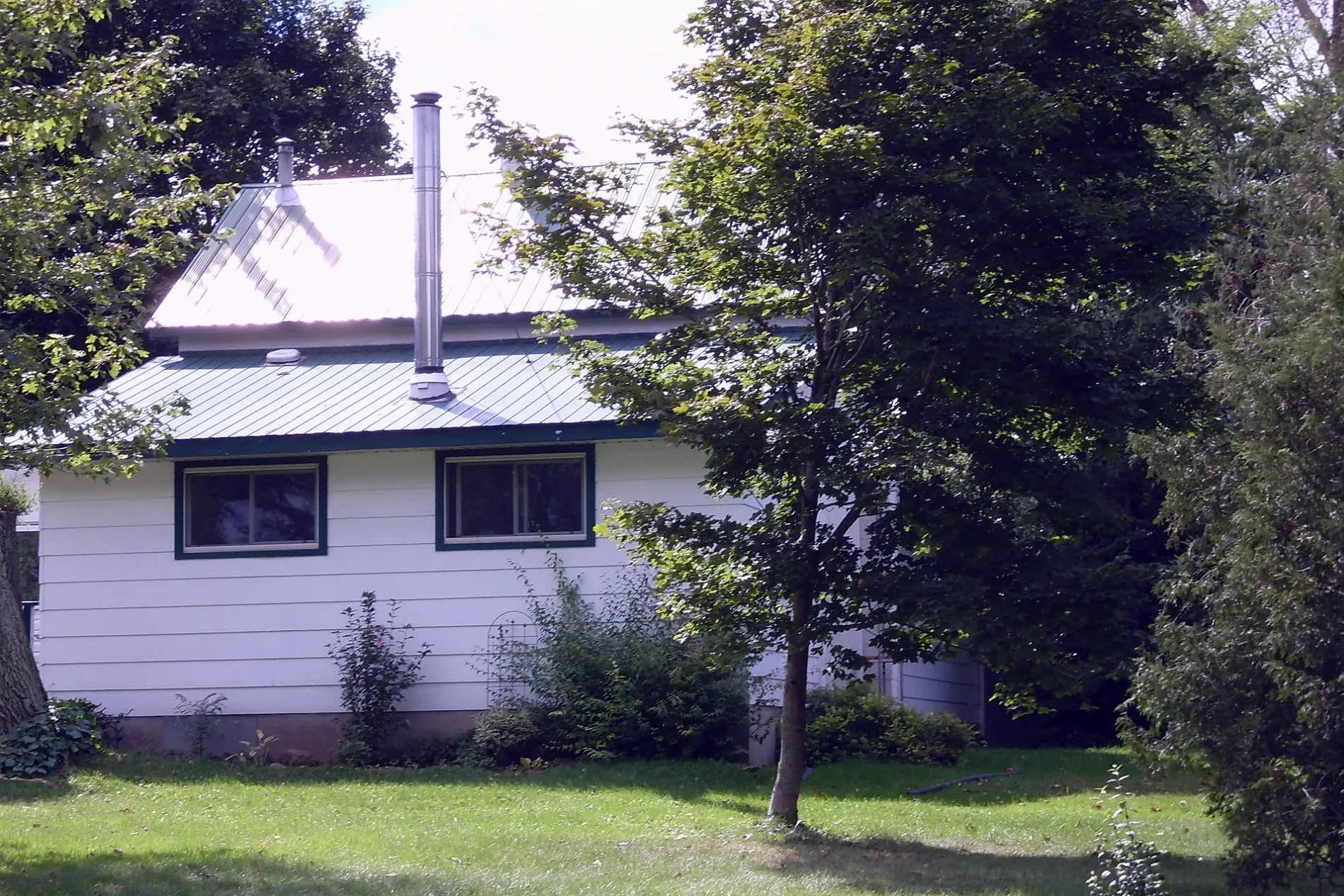
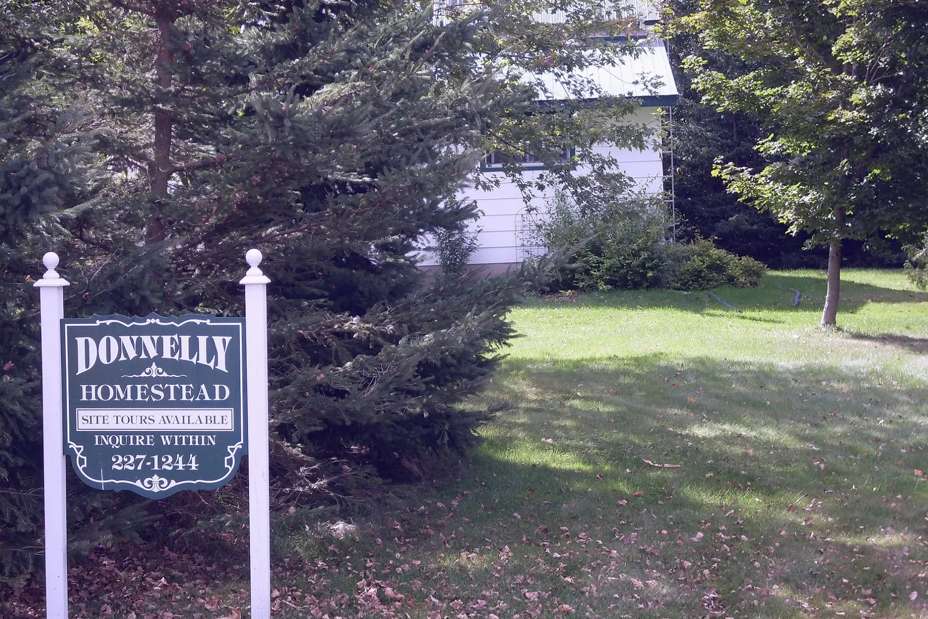
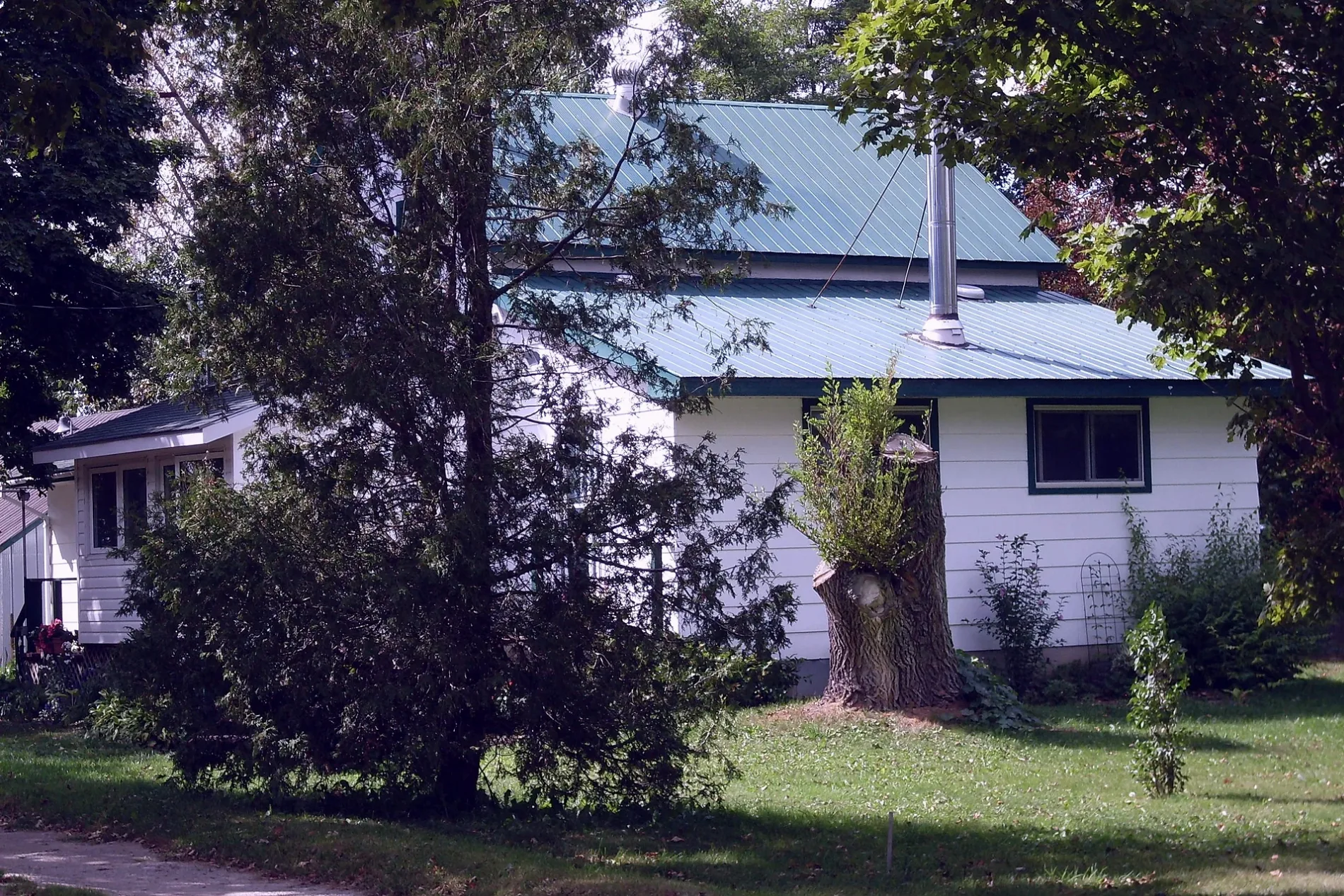
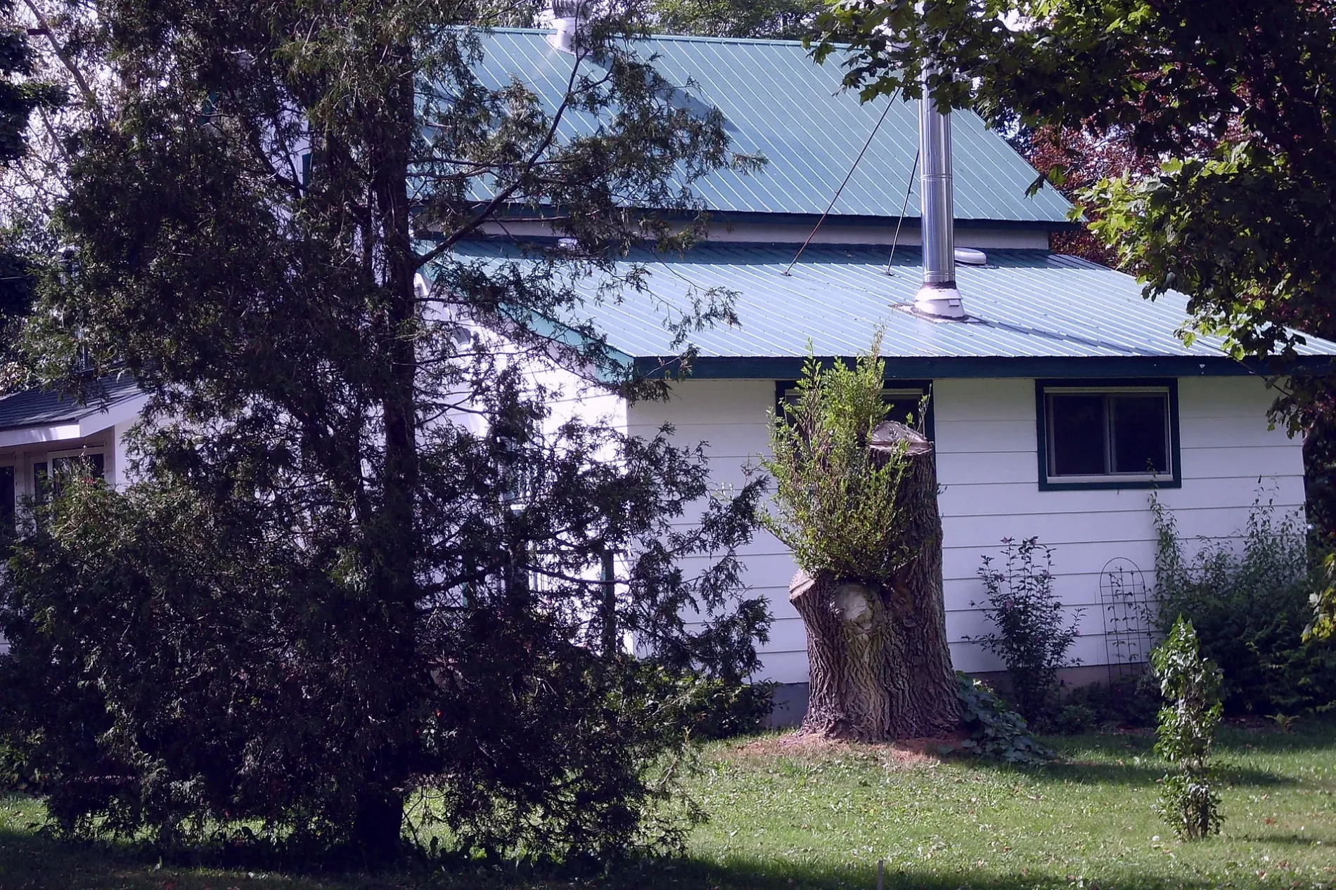
Roads in Lucan Biddulph
Roads
Richmond Street
Lucan Convenience Store, Lucan OPP, Tim Hortons, MacEwen
Saintsbury Line
Granton LineGranton-Wesley United Church, Granton Post Office
Observatory Drive
Stonehouse Line
Mitchell Line
Roman LineSaint Patrick Catholic Church
Prospect Hill Road
Breen Drive
Whalen Line
King Street
High Street
Head Street
Queen Street
Station StreetGranton Fire Station
Ann Street
Isabella Street
Fallon DriveGranton
William Street
Clarke Road
Fairview Place
Kleinfeldt Avenue
Harold Court
Nagle Drive
George Street
Clarence Street
Elm Street
Coursey Line
Awmik Drive
Oak Street
Nicoline Avenue
Langford Drive
Kent Avenue
Porte Street
Chestnut Street
Road 161
Frank Street
Elizabeth Street
Butler Street
Willow Avenue
Beech Street
Duchess Avenue
Airport Drive
McGillivray Road
Maple Street
Mount Carmel Drive
Marlene Street
Gibson Crescent
Mooresville DriveMooresville
Market Street
Albert Street
Lewis Court
Wellington StreetLiving Hope Church
Adare Drive
Lewis Avenue
Revere Drive
Water Street
Alice Street
Belleview Lane
Chriselle Place
Levitt Street
Stanley Street
Philip Street
Main StreetLucan, Lucan Drug Mart, Thai Pad, Bell Telephone Box, Municipal free parking, Donnelly Museum, Lucan Post Office, Lucan Community Memorial Centre, Ausable Community Centre, Foodland, BMO, Lucan Animal Hospital, LCBO, Mj's Roadhouse Lucan, Middlesex County Library - Lucan, Shell
Francis StreetLucan United Church
James Street
St. James Drive
Ontario Street
Denfield Road
Highway 7Community Bible Church, air
Clandeboye DriveClandeboye
Princess Street
Watson Street
Radcliffe Crescent
Elginfield Road
Walnut Street
Walnut Grove Place
John Street
Joseph Street
Campanale Way
Spencer Avenue
Coyne Lane
Gilmour Street
Watts Drive
Nicholson Street
Hardy Court
Hearn Drive
Abbey Lane
Stuart Avenue
Olde Clover Drive
Jefferson Street
Miller DriveBuildings
Cemeteries
Fire stations
Places of worship
Restaurants
Rivers
Streams
 Public transport map Lucan Biddulph Legend
| Railway | |
| Bus | |
| Tram |
 Cycling map Lucan Biddulph Legend
| Cycle path | |
| Cycle lane on road | |
| Cycling on bus lane | |
| Bicycle street | |
| Cyclists allowed | |
| Cyclists allowed, good surface | |
| No cycling | |
| Cobblestones |
| Long-distance cycle route | (depending on scale) | |
| Long-distance cycle route |
 Walking map Lucan Biddulph Legend
| Path |
| Long-distance hiking trail | (depending on scale) | |
| Long-distance hiking trail | ||
| No pedestrians |