
Princess Street in Lucan Biddulph
Princess Street in Lucan Biddulph is a two-lane residential street. It runs in an east-west direction and crosses Richmond Street and ends at Albert Street, while the other end is a cul-de-sac.
- Road Type
- residential street
- Lanes
- 2
- Route
- east-west
Image
Community centre
Pharmacy
Supermarkets
Off-licences
Public telephones
Fire station
Places of worship
Petrol stations
Convenience stores
Police stations
Cafés
Restaurants
Post offices
Bank
Museum
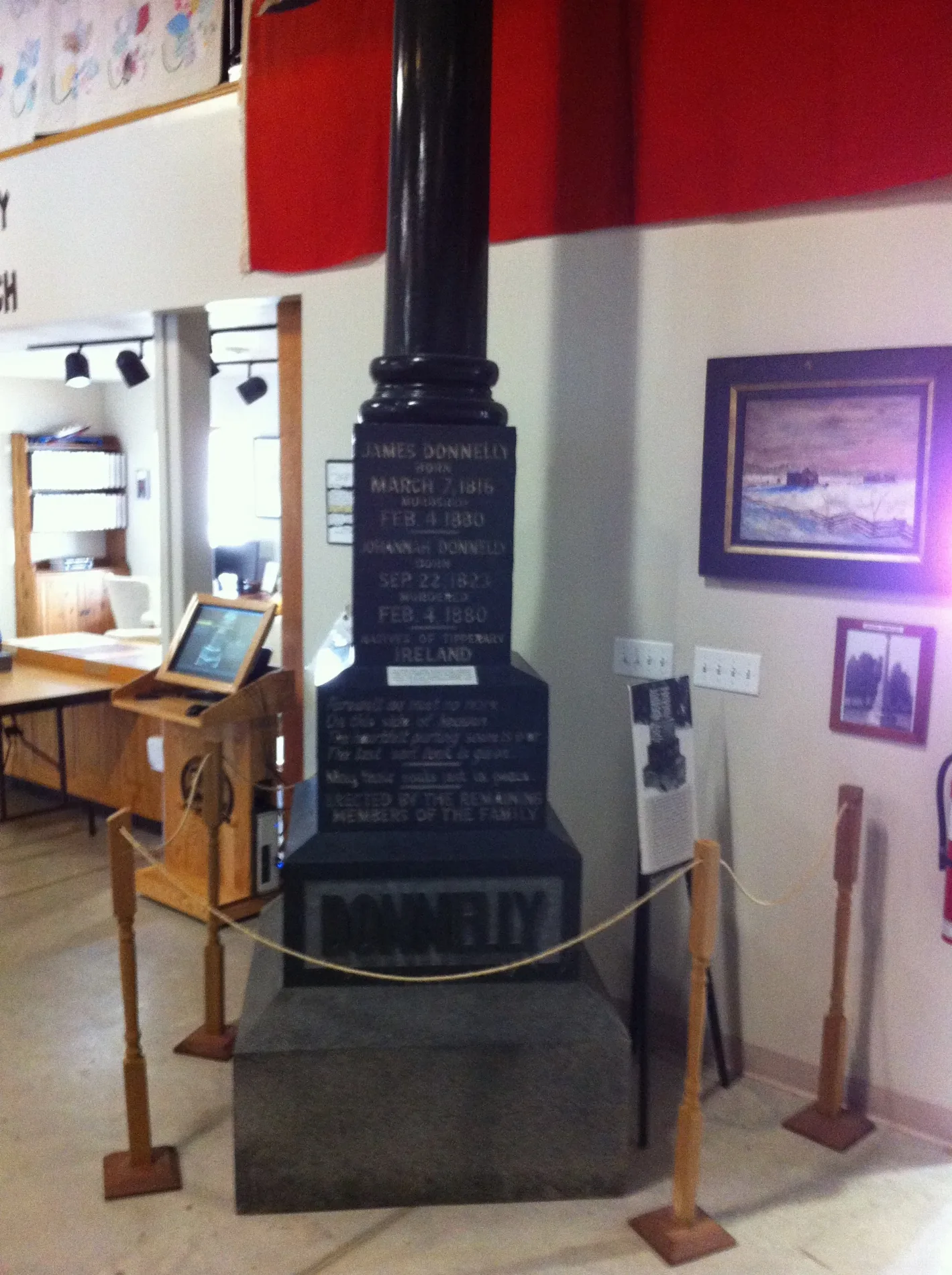
- Donnelly Museum (opening hours: 11–16; Mon closed; Holiday 11–16; Nov-Apr off, fee required, web) at Main Street 171 (N0M 2T0) – approx. 200 m.
Veterinary clinic
Parking
Library
Roads nearby
Richmond StreetLucan Convenience Store, Lucan OPP, Tim Hortons, MacEwen
50 m
Francis StreetLucan United Church
50 m
Alice Street100 m
Wellington StreetLiving Hope Church
200 m
Langford Drive250 m
Albert Street250 m
Elm Street250 m
Clarence Street300 m
Beech Street300 m
Frank Street350 m
Market Street350 m
Fairview Place400 m
Water Street400 m
Marlene Street400 m
Harold Court400 m
Oak Street400 m
Lewis Avenue450 m
Maple Street450 m
George Street450 m
Duchess Avenue450 m
Spencer Avenue500 m
Saintsbury Line500 m
John Street500 m
Kleinfeldt Avenue550 m
Nicoline Avenue550 m
Philip Street550 m
Kent Avenue550 m
Elizabeth Street600 m
Stanley Street600 m
Stuart Avenue600 m
Butler Street600 m
Coyne Lane600 m
Radcliffe Crescent650 m
Joseph Street650 m
Watson Street700 m
Watts Drive750 m
Main StreetLucan, Lucan Drug Mart, Thai Pad, Bell Telephone Box, Municipal free parking, Donnelly Museum, Lucan Post Office, Lucan Community Memorial Centre, Ausable Community Centre, Foodland, BMO, Lucan Animal Hospital, LCBO, Mj's Roadhouse Lucan, Middlesex County Library - Lucan, Shell
800 m
Willow Avenue800 m
Chestnut Street850 m
Gibson Crescent900 m
Walnut Street900 m
Campanale Way950 m
William Street1000 m
Hearn Drive1000 m
Walnut Grove Place1000 m
Hardy Court1,0 km
Fire stations nearby
Lucan Buddulph Fire Hall550 m
Parks nearby
Lucan Optimists Elm Street Park250 m
Places of worship nearby
Holy Trinity Anglican Church400 m
Public transport map Lucan Biddulph Legend
| Railway | |
| Bus | |
| Tram |
Cycling map Lucan Biddulph Legend
| Cycle path | |
| Cycle lane on road | |
| Cycling on bus lane | |
| Bicycle street | |
| Cyclists allowed | |
| Cyclists allowed, good surface | |
| No cycling | |
| Cobblestones |
| Long-distance cycle route | (depending on scale) | |
| Long-distance cycle route |
Walking map Lucan Biddulph Legend
| Path |
| Long-distance hiking trail | (depending on scale) | |
| Long-distance hiking trail | ||
| No pedestrians |