
Orange Street in Southwest Middlesex, Ontario
Orange Street in Southwest Middlesex is a two-lane residential street. It runs in a northeast-southwest direction starting from Main Street and crosses O'Mara Street and ends at Simpson Street. Orange Street also exists in Essex County, Huron County and Bruce County.
- Road Type
- residential street
- Lanes
- 2
- Route
- northeast-southwest
Image
Fire station
Restaurants
Places of worship
Library
Attraction
Post offices
Farm shops
Roads nearby
Roe Street200 m
O'Mara Street200 m
Walker Street250 m
Main StreetGlencoe Presbyterian Church, Glencoe, Faith Pentecostal Assembly, Happy Kitchen, Subway, BMO, Glencoe Bell, Tim Hortons, No Frills
250 m
Graham StreetGlencoe
250 m
Glen Avenue300 m
William Street300 m
Simpson Street300 m
Water Street300 m
Anne Crescent300 m
Wall Street350 m
McRae StreetFoodland
350 m
Deane Street450 m
Ewen Avenue450 m
Anderson Avenue450 m
Lovell Street500 m
Ramsey Avenue550 m
Elgin Avenue550 m
Ann Street600 m
South Street650 m
Tanya Drive650 m
King Street700 m
Mill StreetBryan's Variety
700 m
Symes StreetCIBC
700 m
Victoria StreetMiddlesex County Library - Glencoe, Church of Christ Disciples
700 m
Bute Street750 m
Parkhouse Drive750 m
Hamilton Avenue800 m
Currie Street800 m
Elizabeth Street800 m
Montrose Street800 m
Randolph Street900 m
McKellar StreetGodfathers, Glencoe & District Historical Society Archives, LCBO
950 m
Appin RoadEmbassy Restaurant
1000 m
Coad Street1000 m
Dundonald RoadNorth Glencoe Station, Burns Presbyterian Church
1,0 km
Wright Avenue1,1 km
Volanski Place1,2 km
Stella AvenueSaint Charles Garnier Church
1,2 km
Buildings nearby
Glengrove Place250 m
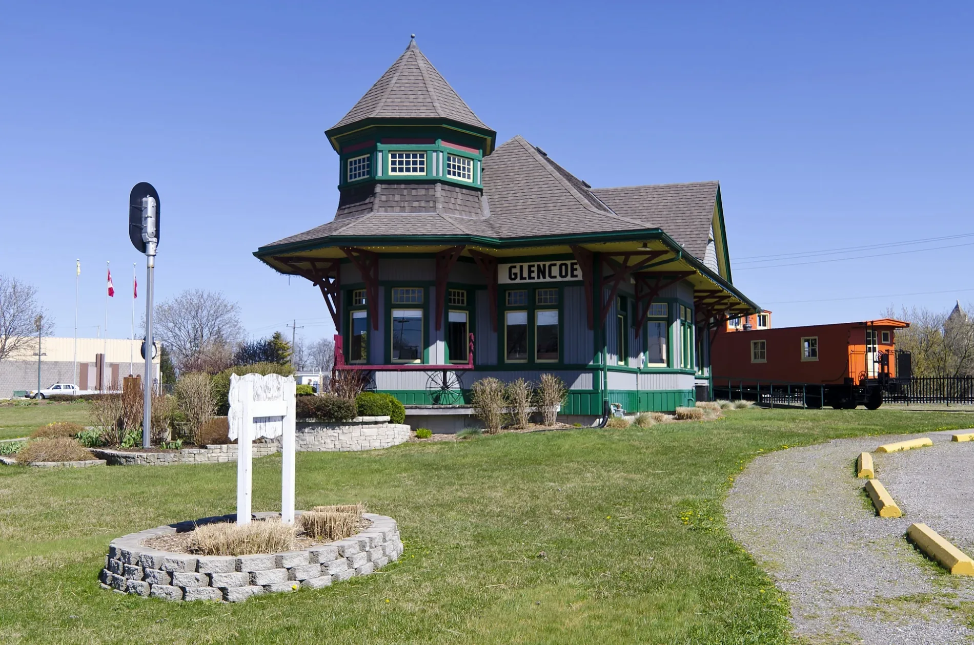
Glencoe Train Station Building350 m
Commercial buildings nearby
Glencoe Mini Storage600 m
Petrol stations nearby
Amco400 m
UPI Energy800 m
Pharmacies nearby
Glencoe Pharmacy650 m
Places of worship nearby
Saint John's United Church250 m
Railway lines nearby
CN Chatham Subdivision300 m
Sports centres nearby
Glencoe and Disrict Curling Club750 m
Glencoe Arena750 m
Public transport map Southwest Middlesex Legend
| Railway | |
| Bus | |
| Tram |
Cycling map Southwest Middlesex Legend
| Cycle path | |
| Cycle lane on road | |
| Cycling on bus lane | |
| Bicycle street | |
| Cyclists allowed | |
| Cyclists allowed, good surface | |
| No cycling | |
| Cobblestones |
| Long-distance cycle route | (depending on scale) | |
| Long-distance cycle route |
Walking map Southwest Middlesex Legend
| Path |
| Long-distance hiking trail | (depending on scale) | |
| Long-distance hiking trail | ||
| No pedestrians |