
Symes Street in Southwest Middlesex, Ontario
Symes Street in Southwest Middlesex is a two-lane residential street. It runs in a northeast-southwest direction starting from Coad Street and crosses Randolph Street, Elizabeth Street, King Street, Victoria Street, Main Street, Lovell Street, Currie Street, Walker Street and Hamilton Avenue. It ends in a cul-de-sac. In the vicinity, there is a bank. The nearest stop in the vicinity is Glencoe (approx. 450 m away).
- Road Type
- residential street
- Lanes
- 2
- Route
- northeast-southwest
Image
Bank
Roads nearby
Victoria StreetMiddlesex County Library - Glencoe, Church of Christ Disciples
100 m
King Street100 m
Elizabeth Street200 m
Lovell Street300 m
Appin RoadEmbassy Restaurant
300 m
Randolph Street300 m
Mill StreetBryan's Variety
400 m
Currie Street450 m
Coad Street450 m
McKellar StreetGodfathers, Glencoe & District Historical Society Archives, LCBO
450 m
McRae StreetFoodland
550 m
Wright Avenue550 m
South Street550 m
Graham StreetGlencoe
550 m
Walker Street600 m
Volanski Place600 m
Orange Street650 m
Ramsey Avenue700 m
Glen Avenue700 m
Stella AvenueSaint Charles Garnier Church
700 m
William Street700 m
Main StreetGlencoe Presbyterian Church, Glencoe, Faith Pentecostal Assembly, Happy Kitchen, Subway, BMO, Glencoe Bell, Tim Hortons, No Frills
750 m
O'Mara Street750 m
Hamilton Avenue800 m
Wall Street850 m
Roe Street850 m
Anne Crescent850 m
Simpson Street950 m
Water Street950 m
Deane Street950 m
Glendon Drive1,0 km
Ann Street1,1 km
Ewen Avenue1,1 km
Anderson Avenue1,1 km
Elgin Avenue1,2 km
Parkhouse Drive1,2 km
Bute Street1,3 km
Tanya Drive1,3 km
Montrose Street1,4 km
Buildings nearby
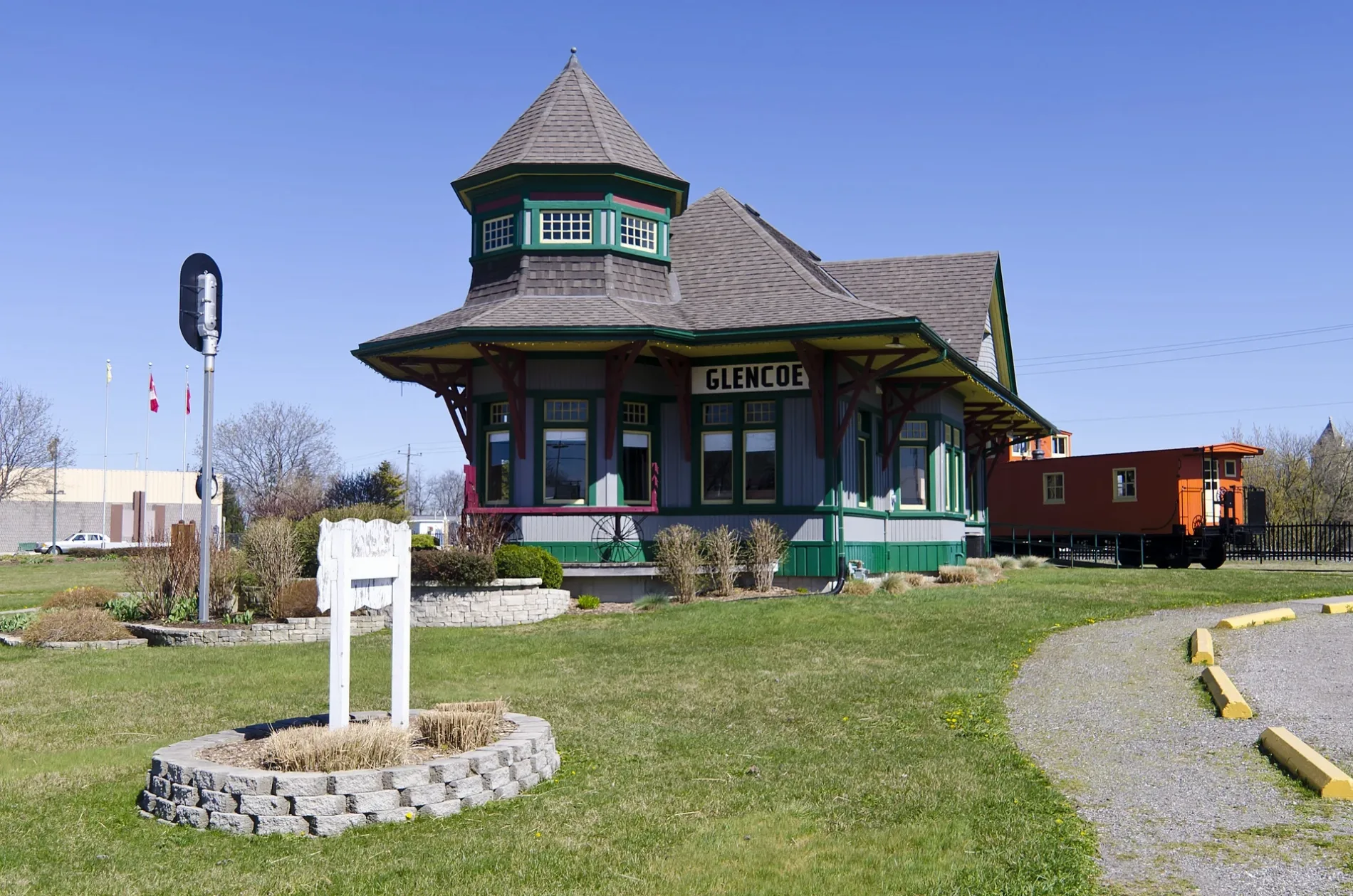
Glencoe Train Station Building350 m
Glengrove Place500 m
Commercial buildings nearby
Glencoe Mini Storage300 m
Petrol stations nearby
UPI Energy250 m
Amco350 m
Pharmacies nearby
Glencoe Pharmacy150 m
Places of worship nearby
Saint John's United Church450 m
Railway lines nearby
CN Chatham Subdivision500 m
Sports centres nearby
Glencoe and Disrict Curling Club450 m
Glencoe Arena550 m
Public transport map Southwest Middlesex Legend
| Railway | |
| Bus | |
| Tram |
Cycling map Southwest Middlesex Legend
| Cycle path | |
| Cycle lane on road | |
| Cycling on bus lane | |
| Bicycle street | |
| Cyclists allowed | |
| Cyclists allowed, good surface | |
| No cycling | |
| Cobblestones |
| Long-distance cycle route | (depending on scale) | |
| Long-distance cycle route |
Walking map Southwest Middlesex Legend
| Path |
| Long-distance hiking trail | (depending on scale) | |
| Long-distance hiking trail | ||
| No pedestrians |