
Duffern Street in Norfolk County, Ontario
Duffern Street in Norfolk County is a two-lane, asphalted residential street. It runs in a north-south direction and crosses Cedar Street and ends at King Lane, while the other end is a cul-de-sac.
- Road Type
- residential street
- Lanes
- 2
- Route
- north-south
Image
Hotels
Convenience stores
Car parts shops
Hardware shops
Library
Furniture shops
Fast food restaurants
Supermarkets
Social facility
Department stores
Car dealerships
Restaurants
Farm supplies shops
Pubs
Dentist
Car repair shops
Clothing shops
Roads nearby
Cedar Street100 m
Hiawatha Street100 m
Howard Street100 m
Queen Street150 m
Schellburg Avenue250 m
Metcalfe StreetGiant Tiger
250 m
Warren Road300 m
Hill Street300 m
Maple Street350 m
Tyrell Street400 m
Union Street400 m
Kars Street450 m
Marshall Lane450 m
King Lane450 m
Elgin Avenue450 m
Windham Street450 m
Hume StreetDairy Queen
500 m
Lower Wellington Street550 m
Hunt Street South550 m
Hunt Street North600 m
Robinson StreetLeon's
600 m
Head Street700 m
Charles Street700 m
Bellevue Avenue700 m
Holden Avenue700 m
Foster Street700 m
Payne Avenue750 m
Beckett Boulevard750 m
Groff Street800 m
Brook Street850 m
West StreetThe Norfolk Hospital Nursing Home
850 m
Martin Avenue850 m
Nelson Street850 m
Chapel StreetFood Basics
900 m
Royal Street900 m
Orchard Avenue900 m
Carolyn Boulevard900 m
Thomson Road950 m
Buildings nearby
Pavillion450 m
Car dealerships nearby
Simcoe VW500 m
Industrial buildings nearby
TSC600 m
Motel nearby
Queensway Motel600 m
Parks nearby
Kinsmen Park350 m
Petrol stations nearby
Pioneer550 m
Esso800 m
Places of worship nearby
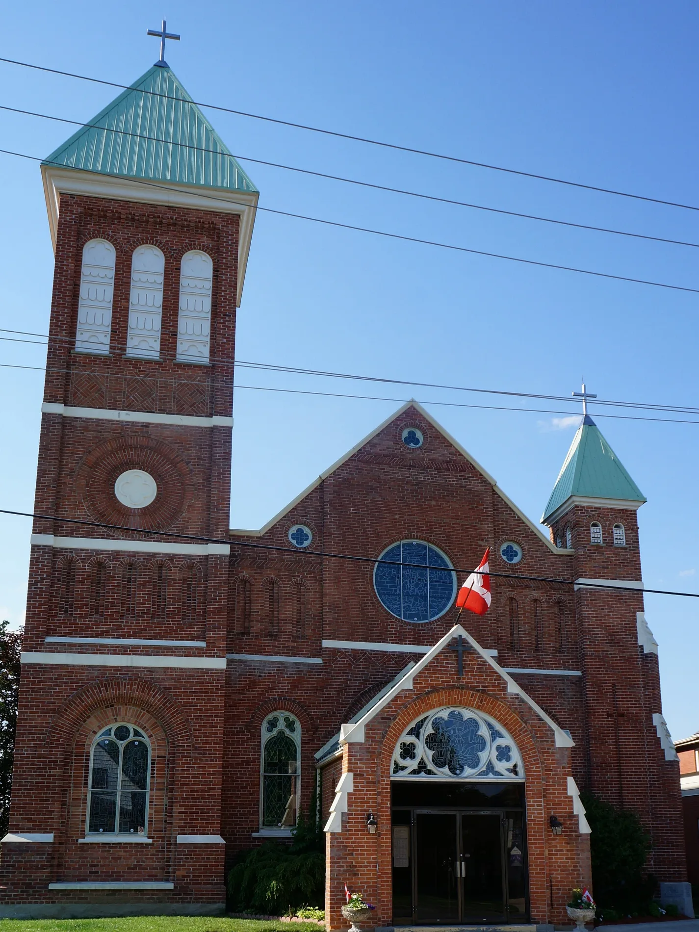
Saint Mary's Catholic Church300 m
The Salvation Army550 m
Playgrounds nearby
Splash Pad450 m
Sports centres nearby
Talbot Gardens650 m
 Public transport map Norfolk County Legend
| Railway | |
| Bus | |
| Tram |
 Cycling map Norfolk County Legend
| Cycle path | |
| Cycle lane on road | |
| Cycling on bus lane | |
| Bicycle street | |
| Cyclists allowed | |
| Cyclists allowed, good surface | |
| No cycling | |
| Cobblestones |
| Long-distance cycle route | (depending on scale) | |
| Long-distance cycle route |
 Walking map Norfolk County Legend
| Path |
| Long-distance hiking trail | (depending on scale) | |
| Long-distance hiking trail | ||
| No pedestrians |