
Schellburg Avenue in Norfolk County, Ontario
Schellburg Avenue in Norfolk County is a two-lane, asphalted residential street and it runs in an east-west direction and ends at Queen Street, while the other end is a cul-de-sac.
- Road Type
- residential street
- Lanes
- 2
- Route
- east-west
Image
Hotels
Convenience stores
Car repair shops
Dentist
Cafés
Clothing shops
Fast food restaurants
Farm supplies shops
Car parts shops
Supermarkets
Social facility
Department stores
Restaurants
Pubs
Hardware shops
Car dealerships
Pharmacy
Library
Roads nearby
Hiawatha Street200 m
Queen Street200 m
Duffern Street250 m
Cedar Street250 m
Howard Street300 m
Hume StreetDairy Queen
300 m
Warren Road300 m
King Lane300 m
Head Street350 m
Metcalfe StreetGiant Tiger
350 m
Lower Wellington Street350 m
Hunt Street South400 m
Hunt Street North400 m
Maple Street450 m
Hill Street450 m
Talbot Street500 m
Tyrell Street500 m
Mill Pond Court550 m
Union Street550 m
Elizabeth StreetHi-Way Restaurant, Shoppers Drug Mart, Walsh
550 m
Colborne StreetMalo Family and Cosmetic Dentistry
600 m
Bellevue Avenue600 m
Colborne Street North600 m
Kars Street650 m
Upper Wellington Street650 m
Third Avenue650 m
Windham Street650 m
North Main StreetTarget Food Stores
650 m
Harold G. Gill Memorial Bridge700 m
Queensway WestHome Hardware, Bulk Barn, Jiffy Lube, Simcoe Honda, Boston Pizza, Best Western Littler River Inn, Travelodge Simcoe, Little Caesars, Carquest, The Barrel, The Shire, Legend of Hungary, TSC Stores
700 m
Second Avenue850 m
Everett Street900 m
First Avenue900 m
Buildings nearby
Pavillion450 m
Car dealerships nearby
Simcoe VW350 m
Car repair shops nearby
Queensway Tire Service Limited650 m
Industrial buildings nearby
TSC400 m
Motel nearby
Queensway Motel450 m
Parks nearby
Kinsmen Park300 m
Percy Carter Park600 m
Wellington Park600 m
Petrol stations nearby
Pioneer450 m
Petro-Canada700 m
Places of worship nearby
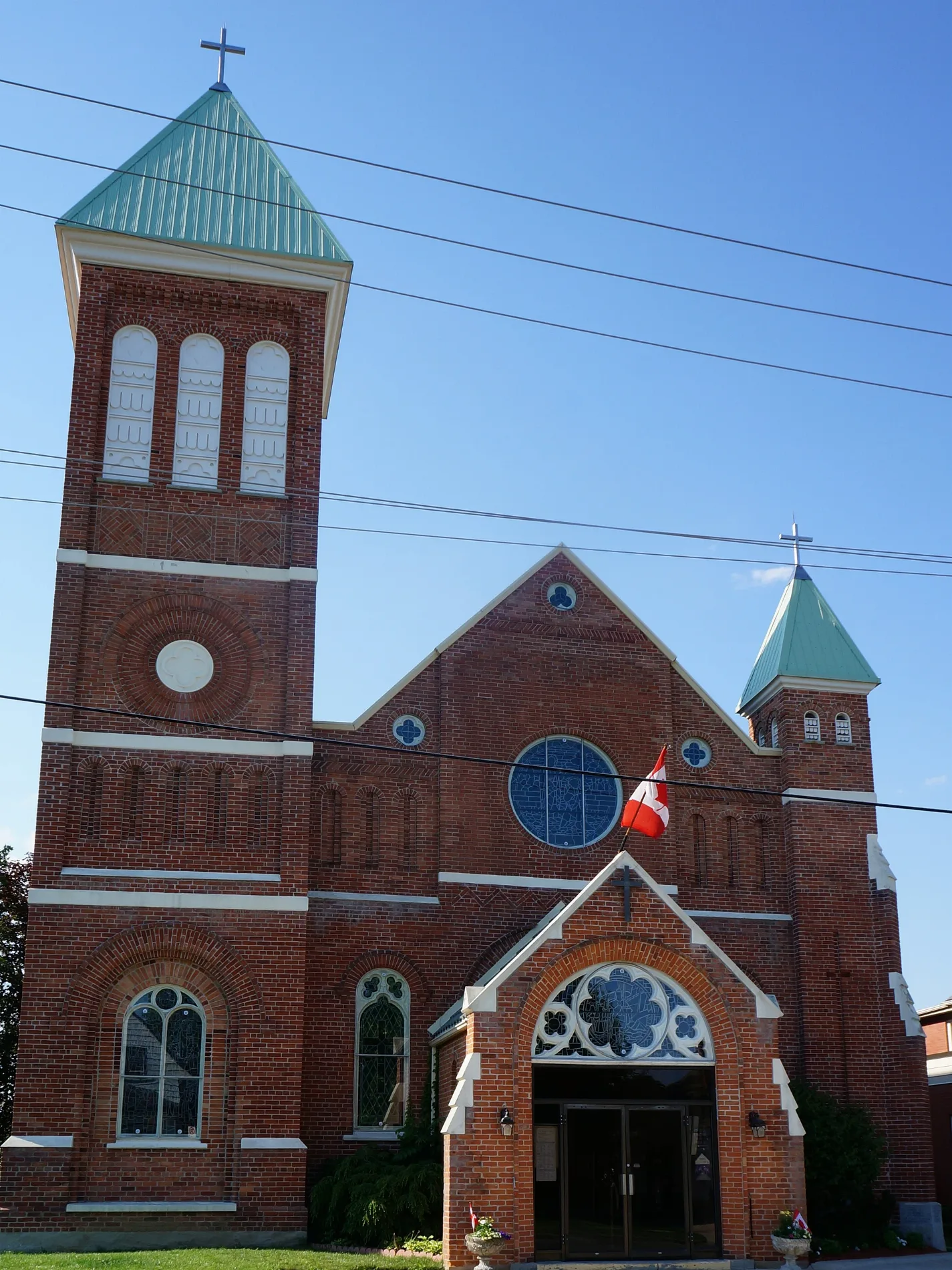
Saint Mary's Catholic Church450 m
Playgrounds nearby
Splash Pad400 m
Retail areas nearby
Chamber Plaza600 m
Stationery shops nearby
Staples800 m
Streams nearby
Kent Creek700 m
Patterson Creek700 m
Public transport map Norfolk County Legend
| Railway | |
| Bus | |
| Tram |
Cycling map Norfolk County Legend
| Cycle path | |
| Cycle lane on road | |
| Cycling on bus lane | |
| Bicycle street | |
| Cyclists allowed | |
| Cyclists allowed, good surface | |
| No cycling | |
| Cobblestones |
| Long-distance cycle route | (depending on scale) | |
| Long-distance cycle route |
Walking map Norfolk County Legend
| Path |
| Long-distance hiking trail | (depending on scale) | |
| Long-distance hiking trail | ||
| No pedestrians |