
Westwinds Gate in Tillsonburg
Westwinds Gate in Tillsonburg is a two-lane residential street. It runs in an east-west direction starting from Darrow Drive and crosses Thompson Court and Quarter Town Line and ends at Park Place.
- Road Type
- residential street
- Lanes
- 2
- Route
- east-west
Image
Chemist's
Restaurants
Furniture shops
Ice cream parlours
Bank
Health food shops
Mobile phone shops
Fast food restaurants
Supermarkets
Pharmacy
Appliance stores
Off-licences
Clothing shops
Convenience stores
Petrol stations
Pet shops
Veterinary clinic
Locksmiths
Beauty salons
Interior decorators
Roads nearby
Thompson Court50 m
Darrow Drive150 m
Brad Avenue150 m
James Avenue250 m
Quarter Town LineWestmount
300 m
Nancy Court350 m
Woodside Drive350 m
Hilldrop Crescent350 m
Park Place400 m
Brownsville RoadBradburn Subdivision
400 m
Park Drive400 m
Brookside Lane400 m
Glendale Drive450 m
Lyndale Road450 m
Belmont Avenue450 m
Fairview Street450 m
South Street450 m
West Street500 m
East Street500 m
McGuire Crescent500 m
Tulip Drive550 m
Trillium Drive600 m
Woodland Crescent600 m
Dogwood Drive600 m
Langrell AvenueChuck's Roadhouse
600 m
Allen StreetGlenridge
600 m
Primrose Drive600 m
Moose Street650 m
Broadway StreetRuffin's Pet Centre, Petro-Canada, Circle K, Domino's, Edwards Veterinary Services, Hurley's, Oxford County Library - Tillsonburg, Money Mart, Total Hearing, easyhome, TD, Bell, Ardene, Gold & Ice Jewellers, Rogers, Knock Out Fashions, The Lady's A Champ, Gino's Pizza, Tim Hortons, Muslim Association of Tillsonburg, Tillsonburg, Hi Tech Electronics, Pioneer, Subway, On the Run, BrandSource, Floors Now, Ronson's Audio Video, Faith Presbyterian Church, Boston Pizza, Queen's Cafe, Mark's, CIBC, Forever Nail Care & Spa, Sangster's Health Centre, The Handmaiden, The Source, Telus
650 m
Morning Glory Drive650 m
North Street EastI.D.A.
700 m
Windemere Avenue700 m
Northern Lane750 m
Eden Place750 m
Hunter Crescent800 m
Fairway Hills Boulevard850 m
Glenridge Road900 m
Winona Drive900 m
Andover Avenue900 m
Greeneagle Drive950 m
Birdyway Drive950 m
Car repair shops nearby
Pro Oil Change650 m
Fast food restaurants nearby
A&W800 m
Petrol stations nearby
Shell700 m
Places of worship nearby
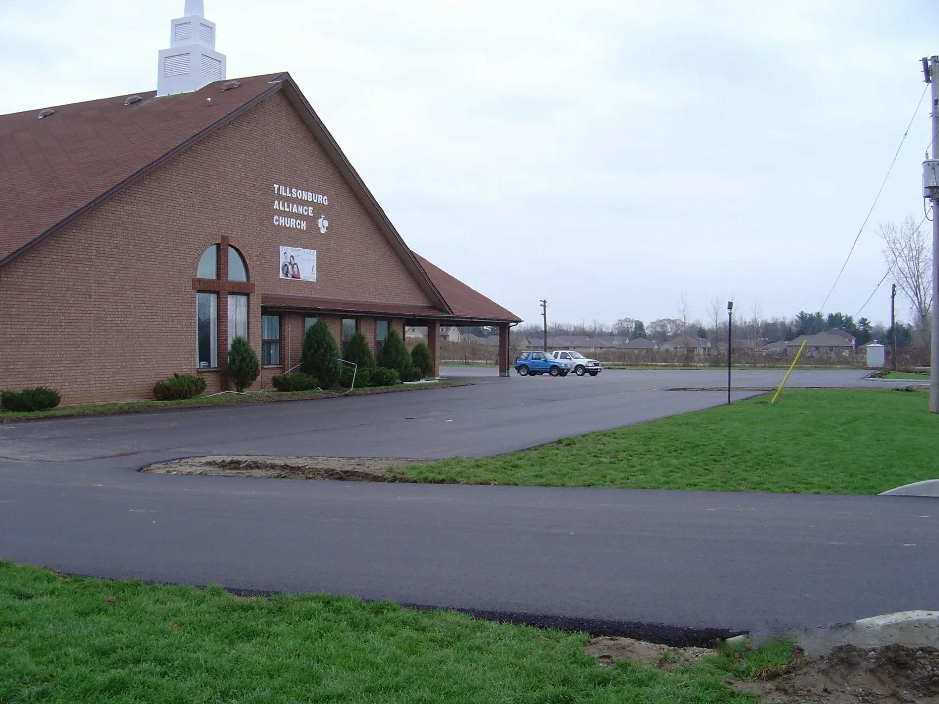
Tillsonburg Alliance Church200 m
Bethel Pentecostal Church350 m
North Broadway Baptist Church750 m
Residential areas nearby
Remore Mobile Home Park450 m
Streams nearby
Stony Creek700 m
Public transport map Tillsonburg Legend
| Railway | |
| Bus | |
| Tram |
Cycling map Tillsonburg Legend
| Cycle path | |
| Cycle lane on road | |
| Cycling on bus lane | |
| Bicycle street | |
| Cyclists allowed | |
| Cyclists allowed, good surface | |
| No cycling | |
| Cobblestones |
| Long-distance cycle route | (depending on scale) | |
| Long-distance cycle route |
Walking map Tillsonburg Legend
| Path |
| Long-distance hiking trail | (depending on scale) | |
| Long-distance hiking trail | ||
| No pedestrians |