
St. Andrew Street N in St. Marys, Ontario
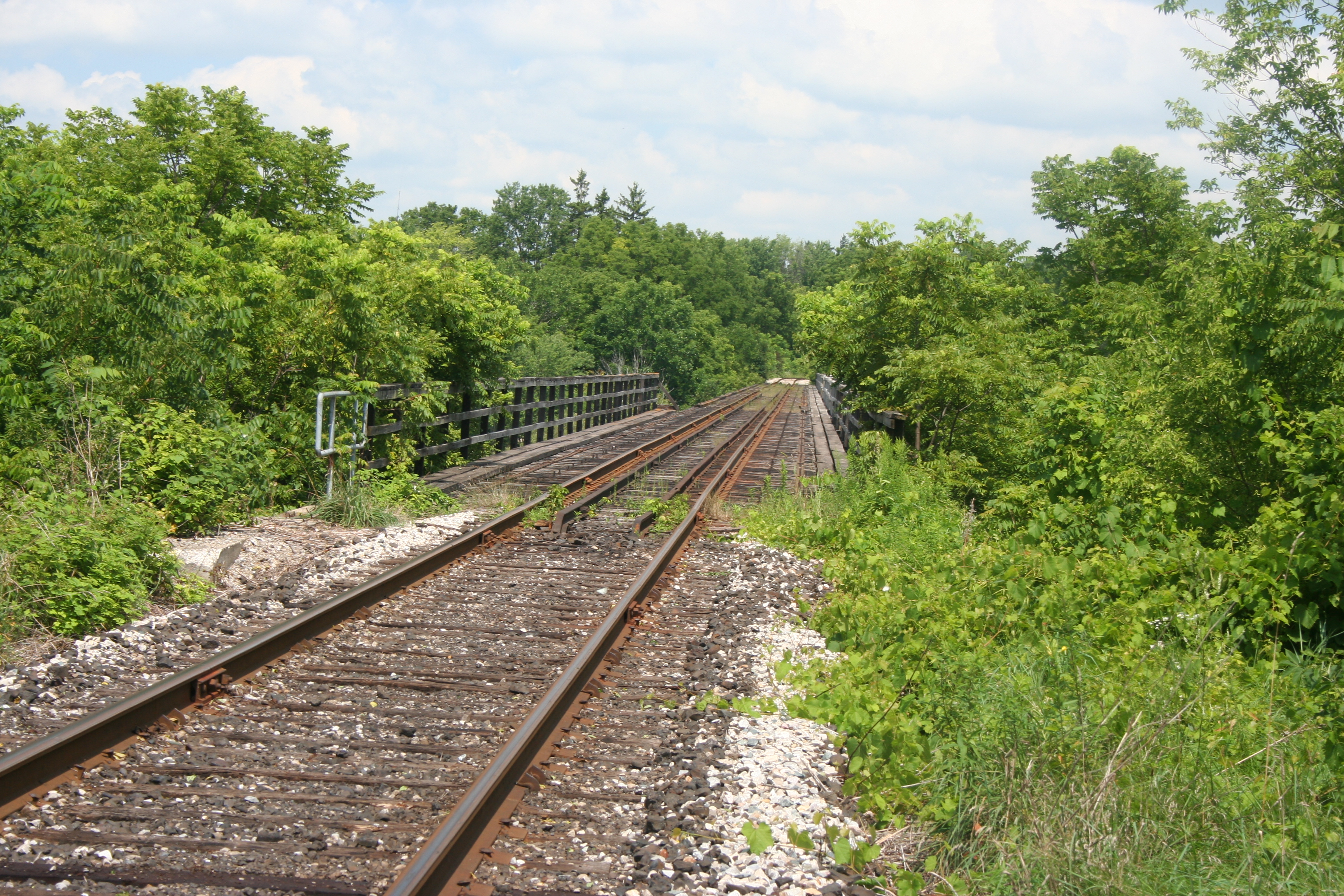
St. Andrew Street N in St. Marys is a two-lane residential street. It runs in a north-south direction and crosses Widder Street East.
- Road Type
- residential street
- Lanes
- 2
- Route
- north-south
Image
Ice cream parlours
Platforms
Library
Pharmacy
Places of worship
Post offices
Cheese shops
Bank
Convenience stores
Hardware shops
Sports shops
Florist's
Restaurants
Stations
Bus stops
Chocolate shops
General stores
Funeral directors
Roads nearby
Widder Street East150 m
St. John Street N150 m
St. George Street N250 m
St. Andrew Street North300 m
Timms Lane300 m
St. Andrew Street South300 m
Queen Street EastHearn's Ice Cream, St. Marys, Circle K, Joe’s Diner, Esso, Stone Town, The Chocolate factory, Staceys Pizza, Harris Electric Eatery, BMO, Tropical Flavour, Towne & Country Cheese Shoppe, Lyric Flowers, Troyer's Spices, Meridian Credit Union, Sukie Lee's, RBC, Four Happy, PharmaChoice, Source For Sports
350 m
St. George Street NorthSt. Marys
350 m
Albert Street400 m
Station StreetHome Hardware
400 m
King Street400 m
King Street N400 m
James Street North450 m
St. George Street S450 m
Brock Street450 m
Jones Street EastAndrew L. Hodges Funeral Home, Canada Post
450 m
St. John Street South550 m
Waterloo Street North550 m
Huron Street South550 m
Peel Street N550 m
Elgin Street EastSaint James Anglican Church, Canadian Tire
550 m
St. George Street South550 m
Peel Street North550 m
Egan Avenue600 m
Waterloo Street South600 m
Church StreetTD, St. Mary's Public Library, St. Marys Town Hall, St. Marys (town)
650 m
Church Street N650 m
King Street S650 m
Elizabeth Street650 m
Peel Street South700 m
Charles Street N700 m
Charles Street South750 m
Rogers Avenue800 m
Cafés nearby
Tim Hortons600 m
Commercial buildings nearby
Circle K650 m
Parks nearby
Rotary Park200 m
East Ward Park600 m
Lind Park700 m
Places of worship nearby
Holy Name of Mary Parish Church500 m
The Salvation Army600 m
First Baptist Church750 m
Saint Marys United Church800 m
Railway lines nearby
CN Guelph Subdivision300 m
Railway stations nearby
St. Marys station350 m
Retail areas nearby
Downtown Saint Marys700 m
Social centres nearby
Royal Canadian Legion Hall650 m
Social facilities nearby
Kingsway Lodge Nursing Home400 m
Streams nearby
Trout Creek200 m
Town halls nearby
St. Marys Town Hall650 m
Public transport map St. Marys Legend
| Railway | |
| Bus | |
| Tram |
Cycling map St. Marys Legend
| Cycle path | |
| Cycle lane on road | |
| Cycling on bus lane | |
| Bicycle street | |
| Cyclists allowed | |
| Cyclists allowed, good surface | |
| No cycling | |
| Cobblestones |
| Long-distance cycle route | (depending on scale) | |
| Long-distance cycle route |
Walking map St. Marys Legend
| Path |
| Long-distance hiking trail | (depending on scale) | |
| Long-distance hiking trail | ||
| No pedestrians |