
St. George Street North in St. Marys, Ontario
St. George Street North in St. Marys is a two-lane residential street. It runs in a north-south direction starting from Timms Lane and ends at Queen Street East. The nearest stop is St. Marys. The train routes 84;88 and 85;87 serve this stop. St. George Street North also exists in Chatham-Kent.
- Road Type
- residential street
- Lanes
- 2
- Route
- north-south
Image
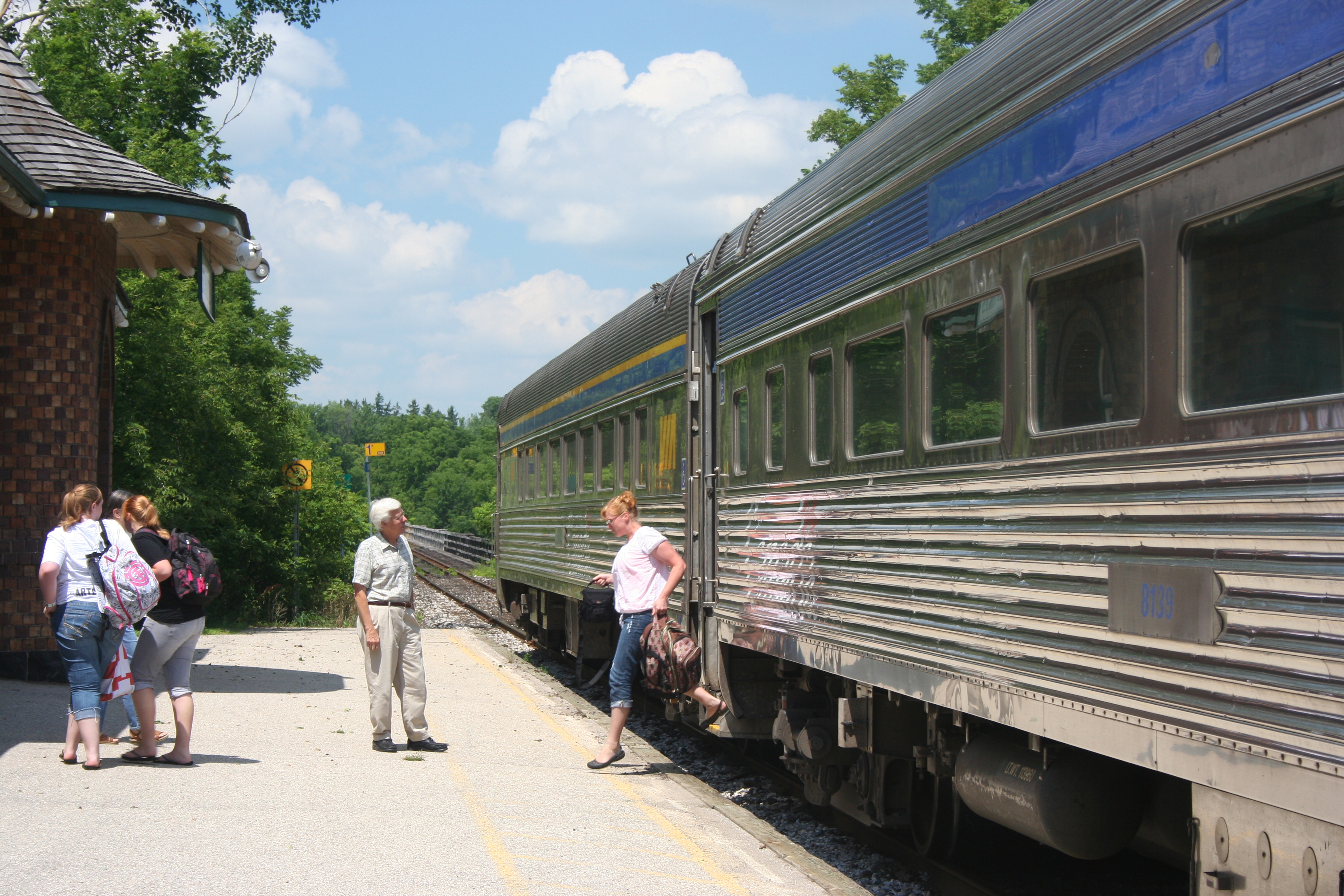
Platforms
- train routes 84;88, 85;87
Roads nearby
Queen Street EastHearn's Ice Cream, St. Marys, Circle K, Joe’s Diner, Esso, Stone Town, The Chocolate factory, Staceys Pizza, Harris Electric Eatery, BMO, Tropical Flavour, Towne & Country Cheese Shoppe, Lyric Flowers, Troyer's Spices, Meridian Credit Union, Sukie Lee's, RBC, Four Happy, PharmaChoice, Source For Sports
100 m
James Street North100 m
St. George Street S150 m
Timms Lane150 m
St. Andrew Street North250 m
St. Andrew Street South250 m
St. George Street South250 m
St. John Street South300 m
Elgin Street EastSaint James Anglican Church, Canadian Tire
300 m
Peel Street North300 m
King Street S350 m
Station StreetHome Hardware
350 m
King Street350 m
St. Andrew Street N350 m
Peel Street South350 m
St. George Street N400 m
Widder Street East400 m
St. John Street N400 m
Elizabeth Street400 m
King Street N400 m
Huron Street South450 m
Church StreetTD, St. Mary's Public Library, St. Marys Town Hall, St. Marys (town)
500 m
Church Street N500 m
Peel Street N500 m
Brock Street500 m
Jones Street EastAndrew L. Hodges Funeral Home, Canada Post
500 m
Egan Avenue650 m
Albert Street650 m
Waterloo Street North650 m
Waterloo Street South700 m
Rogers Avenue700 m
Charles Street N850 m
Charles Street South900 m
Cafés nearby
Tim Hortons350 m
Commercial buildings nearby
Circle K350 m
Parks nearby
Rotary Park400 m
Lind Park400 m
East Ward Park400 m
Places of worship nearby
The Salvation Army300 m
First Baptist Church450 m
Saint Marys United Church450 m
Holy Name of Mary Parish Church550 m
Railway lines nearby
CN Guelph Subdivision400 m
Railway stations nearby
St. Marys station50 m
Retail areas nearby
Downtown Saint Marys400 m
Social centres nearby
Royal Canadian Legion Hall450 m
Social facilities nearby
Kingsway Lodge Nursing Home100 m
Streams nearby
Trout Creek450 m
Town halls nearby
St. Marys Town Hall400 m
Public transport map St. Marys Legend
| Railway | |
| Bus | |
| Tram |
Cycling map St. Marys Legend
| Cycle path | |
| Cycle lane on road | |
| Cycling on bus lane | |
| Bicycle street | |
| Cyclists allowed | |
| Cyclists allowed, good surface | |
| No cycling | |
| Cobblestones |
| Long-distance cycle route | (depending on scale) | |
| Long-distance cycle route |
Walking map St. Marys Legend
| Path |
| Long-distance hiking trail | (depending on scale) | |
| Long-distance hiking trail | ||
| No pedestrians |