
Oakdene Crescent in Danforth, Toronto, Ontario
Oakdene Crescent in Toronto, Danforth is a two-lane, asphalted residential street (30 km/h) and runs in a north-south direction.
- Road Type
- residential street
- Lanes
- 2
- Speed Limit
- 30
- Route
- north-south
Image
School
Subway stops
Bus stops
Seafood shops
Places of worship
Restaurants
Convenience stores
Variety stores
Hairdressers
Greengrocers
Bar
Fast food restaurants
Stations
Cafés
Bakeries
Roads nearby
Glebeholme Boulevard100 m
Wolverleigh Boulevard150 m
Greenwood Avenue200 m
Greenwood Bus Loop200 m
Linnsmore Crescent200 m
Ladysmith Avenue300 m
Danforth Avenue350 m
Gillard Avenue350 m
Caithness Avenue350 m
Chatham Avenue400 m
Monarch Park Avenue400 m
Queensdale Avenue400 m
Felstead Avenue Park Trail450 m
Mountnoel Avenue450 m
Springdale Boulevard450 m
Leroy Avenue450 m
Kimbourne Avenue500 m
Frankdale Avenue500 m
Lamb Avenue500 m
Parkmount Road500 m
Milverton Boulevard500 m
Inwood Avenue550 m
Craven Road550 m
Sammon Avenue600 m
Azzarello Lane600 m
Mountjoy Avenue600 m
Rhodes Avenue650 m
Coxwell Avenue700 m
Bonnie Brae Boulevard700 m
Linsmore Crescent700 m
Mortimer Avenue750 m
Roosevelt Road800 m
Apartment buildings nearby
Trudelle Court Apartments400 m
Andenne500 m
Buildings nearby
Century Schoolhouse700 m
Constructions nearby
Greenwood Elevator Construction200 m
Industrial buildings nearby
Greenwood Substation300 m
Parks nearby
Felstead Park450 m
Robertson Parkette650 m
Places of worship nearby
The IEMELIF Church of Canada100 m
Greenwood Gospel Chapel350 m
Holy Trinity Macedono-Bulgarian Eastern Orthodox Church450 m
Strathmore Boulevard Church of Christ750 m
Playgrounds nearby
Felstead Avenue Playground450 m
Railway stations nearby
Greenwood200 m
Residential areas nearby
Greenwood Towers200 m
Retail buildings nearby
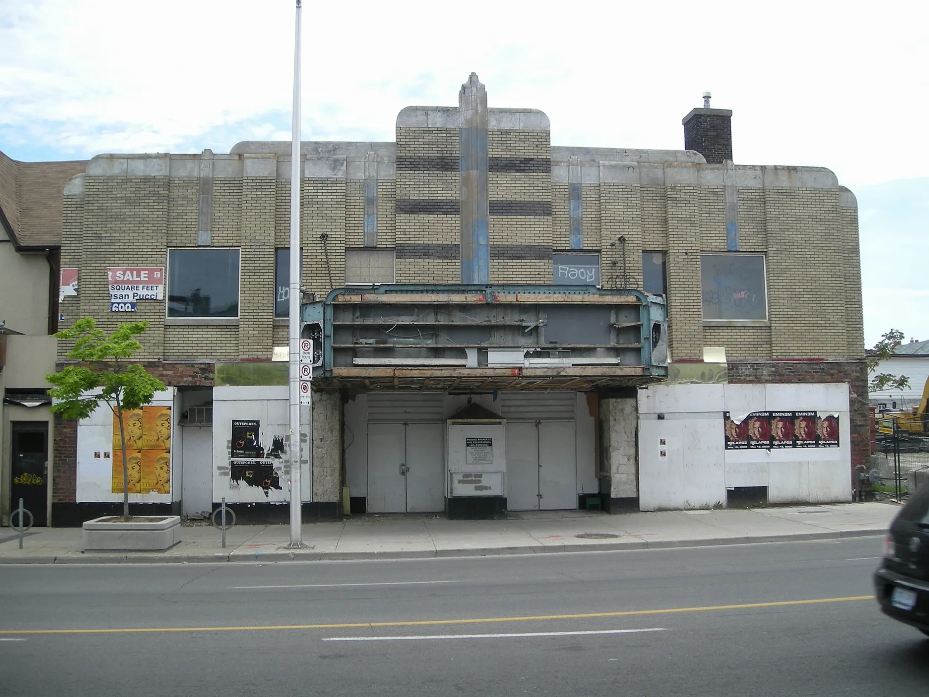
Allenby Theatre250 m
School buildings nearby
École secondaire Michelle-O'Bonsawin350 m
Subway lines nearby
Line 2 Bloor-Danforth100 m
Public transport map Danforth Legend
| Railway | |
| Bus | |
| Tram |
Cycling map Danforth Legend
| Cycle path | |
| Cycle lane on road | |
| Cycling on bus lane | |
| Bicycle street | |
| Cyclists allowed | |
| Cyclists allowed, good surface | |
| No cycling | |
| Cobblestones |
| Long-distance cycle route | (depending on scale) | |
| Long-distance cycle route |
Walking map Danforth Legend
| Path |
| Long-distance hiking trail | (depending on scale) | |
| Long-distance hiking trail | ||
| No pedestrians |