
Lamb Avenue in Greenwood-Coxwell, Toronto, Ontario
Lamb Avenue in Toronto, Greenwood-Coxwell is a two-lane, asphalted residential street (30 km/h). It runs in a north-south direction starting from Danforth Avenue and crosses Mountjoy Avenue and ends at Felstead Avenue. In the vicinity, you can find a bicycle hire and an e-cigarette shop. The nearest bus stop in the vicinity is Linnsmore Crescent (approx. 250 m away).
- Road Type
- residential street
- Speed Limit
- 30
- Lanes
- 2
- Route
- north-south
Image
Roads nearby
Felstead Avenue Park Trail150 m
Felstead AvenueFelstead Ave/Gillard Ave (Monarch Park)
150 m
Monarch Park Crossing200 m
Mountnoel Avenue250 m
Mountalan Avenue250 m
Ladysmith AvenueMasjid Mosque
300 m
Gillard AvenueBooster Juice
300 m
Mountjoy Avenuefamily mini mart, Bike Share Toronto
300 m
Danforth AvenueRed Rocket Coffee, Enat Market Plus, Cool East Market, Abugida Restaurant & Lounge, Sora Restaurant, Bubble Nail & Spa, Face to Face Games, The Wren, The Wood Owl, August Kinn, 20/20 Eye Care, Pennywise Fragrances, Wazema, Percy Waters Florist, Hair Sensation & Skincare, From There to Here, Blandine Hair Salon Hair Braiding, Northern Helm Cannabis, Dose Shisha Lounge, Rudy, Kabob Khana, Borrel, One Last Thing Cheese + Provisions, Pinpoint Auto Centre Ltd., Nicholas Pearce Wines, Habesha Traditional Clothing & Sewing, Solomon Barber Shop, The Oracle Centre, Dragon Supermarket, Coin Laundry, Kullubi Variety Store, Forbes Wild Foods, Just Smile Denture & Hygiene, Privilege, Meda Bar & Cafe, Morgans on the Danforth, Tim Hortons, Circle K, Dahlak Lounge, The Dylan Bar, Mango Sushi Chinese Food, Alexander Custom Tailor, Sala Thai Kitchen, Blue Nile Ethiopian Cuisine, Greenwood Market, South Riverdale Community Health Centre, Know Thyself as Soul Centre, Adulis Hair Salon, Hooked, Ariam Cafe, Omdurman House Convenience Store, Asmera Bar & Restaurant, Eastenders, Vision Lounge, Bella Sports Bar, Treasure Box Liquidation, Lalibela Cuisine, Ontario College of Homeopathic Medicine, Urban Floor Scapes, Milton Prep Academy, Subway, Coxwell Avenue, HearingLife, DeSerres, CC’s Bar & Grill, macFab, Queen Travel, Double-D-Store, Anderson's Bicycle Company, Pizzaiolo, Daily Goods, Blossoming Minds Learning Centre, Yanagi Sushi, Pomarosa Coffee Shop & Kitchen, Salon Milliard, Dental & Medical Clinic, Danforth Dental, Hand & Stone, Aviator, Dan21, La Vegan, Merhaba Shisha Lounge, Baltica, Good Intentions, Croquembouche, Heritage Pharmacy, ProHealth Medical Centre, Linnsmore Crescent, Danforth Pain Clinic, Family Barber Shop, Danforth Barber & Salon Ltd., Tiger Studio & Fobs Toronto Variety, Fone Tech Solutions, Fasika Restaurant & Bar, Cosmic Pizza & Donair, Royal H. Convenience Store, Mocha Bar & Cuisine, ACT, Karisma Lounge, Emerald Lsle. Seniors Society, Greenwood Avenue, Esso, A&W, Zig Zag Convenience, Tommy's Grill & Bar, Kababia, North Pole Bakery
300 m
Quarry Court350 m
Linnsmore CrescentLinsmore Tavern, Ace Variety, Maple Cafe, Linnsmore Crescent
350 m
Valifor Place350 m
Sandstone Lane350 m
Greenwood Bus LoopGreenwood, Greenwood Station
350 m
Torbrick Road350 m
Parkmount RoadProHealth Pharmacy
350 m
Lount Street400 m
Unity Road400 m
Monarch Park AvenueTaverne Tamblyn
400 m
Greenwood AvenueNorth of Brooklyn, Greenwood Secondary School
450 m
Chatham AvenueChatham Ave / Byron Ave
450 m
Oakvale Path450 m
Wolverleigh Boulevard500 m
Oakdene Crescent500 m
Pocket Trail550 m
Strathmore BoulevardCoxwell, Strathmore Boulevard, Woodbine Subway Station, Woodbine / Strathmore Northwest Corner, Greenwood, Donlands, Metamorphosis Child Care Centre, Donlands Subway Station
550 m
Caithness AvenueDanforth Karate Academy
550 m
Lydia Court600 m
Byron AvenueChampions on the Danforth
600 m
Glebeholme BoulevardEarl Beatty Community Centre
600 m
Railways nearby
TTC Greenwood Yard450 m
Apartment buildings nearby
Trudelle Court Apartments150 m
Andenne350 m
Buildings nearby
Greenwood Complex400 m
Constructions nearby
Greenwood Elevator Construction400 m
Dog parks nearby
The Pocket550 m
Fire stations nearby
Toronto Fire Station #323500 m
Industrial buildings nearby
Greenwood Substation550 m
Parks nearby
Felstead Park150 m
Oakvale Green550 m
Pavilions nearby
Monarch Park Pool Building350 m
Places of worship nearby
The IEMELIF Church of Canada600 m
Playgrounds nearby
Felstead Avenue Playground150 m
Railway stations nearby
Greenwood350 m
Residential areas nearby
Greenwood Towers500 m
Retail buildings nearby
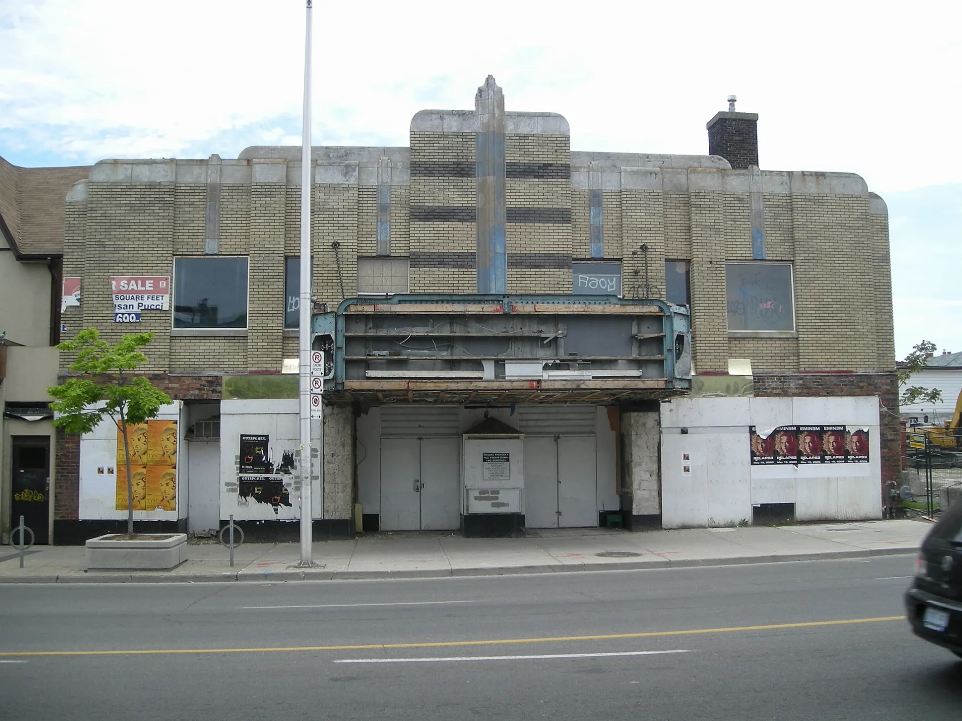
Allenby Theatre350 m
School buildings nearby
École secondaire Michelle-O'Bonsawin200 m
Subway lines nearby
Line 2 Bloor-Danforth400 m
Swimming pools nearby
Monarch Park Wading Pool350 m
Public transport map Greenwood-Coxwell Legend
| Railway | |
| Bus | |
| Tram |
Cycling map Greenwood-Coxwell Legend
| Cycle path | |
| Cycle lane on road | |
| Cycling on bus lane | |
| Bicycle street | |
| Cyclists allowed | |
| Cyclists allowed, good surface | |
| No cycling | |
| Cobblestones |
| Long-distance cycle route | (depending on scale) | |
| Long-distance cycle route |
Walking map Greenwood-Coxwell Legend
| Path |
| Long-distance hiking trail | (depending on scale) | |
| Long-distance hiking trail | ||
| No pedestrians |