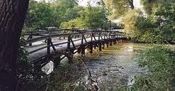
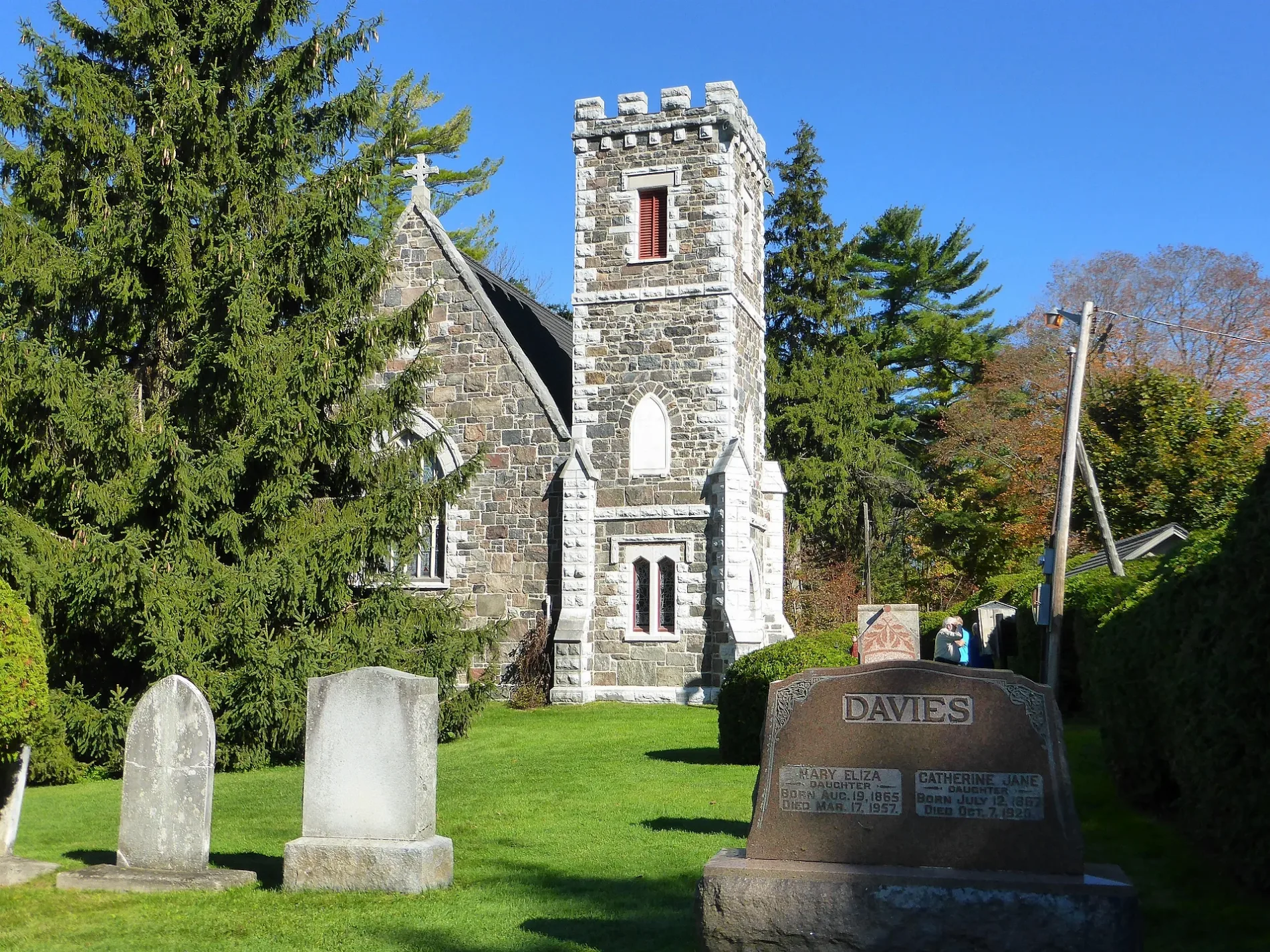
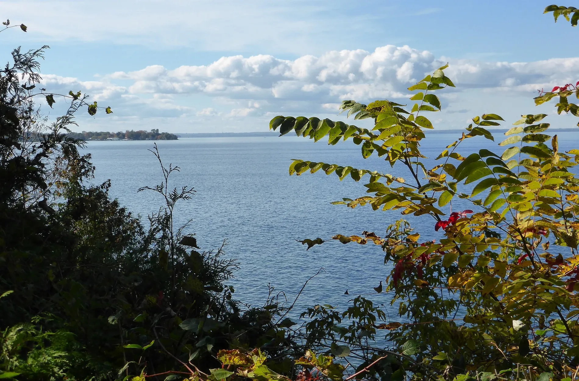
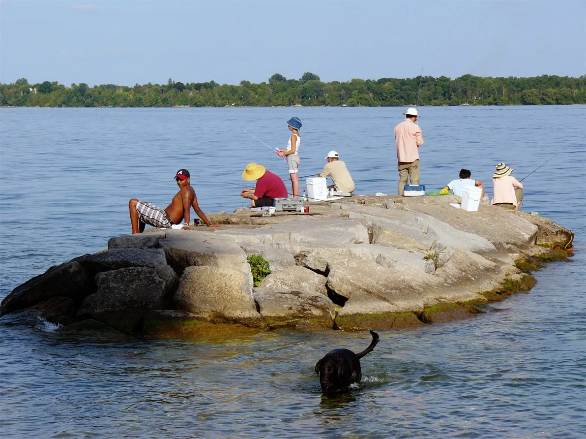
Regional Municipality of York

This page is the City map of York Region in Southern Ontario, Canada, showing streets, roads, paths and places across the regional municipality. York Region lies within the Golden Horseshoe north of Toronto and covers approximately 1,762.1 square kilometres. Around 1,173,334 people live in its 9 municipalities, which include urban centres such as Vaughan, Markham and Richmond Hill as well as rural areas around King and Georgina. The regional municipality was established in 1971, and its territory extends from the Toronto boundary north to Lake Simcoe.

City map York Region
Wojciech Dittwald, CC BY-SA 3.0 – Wikimedia Commons
City map Vaughan
Loozrboy, CC BY-SA 2.0 – Wikimedia Commons

Vaughan

Vaughan is a city in York Region with a population of 323,103 and an area of approximately 273.56 square kilometres. Its elevation is about 180 metres, and the city occupies the southern part of York Region directly north of Toronto.

The municipality includes communities such as Woodbridge, Maple, Kleinburg and Concord. Vaughan is also home to Canada’s Wonderland and the McMichael Canadian Art Collection in Kleinburg, while the Humber River passes through the western part of the city.

City map Markham
Raysonho @ Open Grid Scheduler / Grid Engine, CC0 – Wikimedia Commons

Markham

Markham is a city in the Greater Toronto Area with 338,503 residents and an area of approximately 212.58 square kilometres. The city stands at about 200 metres above sea level and forms the eastern urban part of York Region, north of Toronto and east of Richmond Hill.

Markham contains established communities including Unionville, Markham Village, Cornell and Milliken. The Rouge River and its tributaries cross the municipality, and the historic Main Street Unionville district preserves 19th-century buildings within one of the region’s major urban centres.

City map Aurora
P199, CC BY-SA 3.0 – Wikimedia Commons

Aurora

Aurora is a town in central York Region with a population of 55,445 and an area of approximately 49.85 square kilometres. The town was established in 1854 and lies on the Oak Ridges Moraine, north of Richmond Hill and south of Newmarket.

Aurora’s built-up area extends along Yonge Street and Wellington Street, two major north-south and east-west routes. The town includes the Aurora Cultural Centre in the former Aurora High School and lies within the headwater landscape of streams flowing toward the Holland River and Lake Ontario drainage system.

City map Richmond Hill
CCC2012, CC0 – Wikimedia Commons

Richmond Hill

Richmond Hill is a city in York Region with 202,022 residents and an area of approximately 100.95 square kilometres. Its elevation is about 233 metres, and it is located between Vaughan to the west, Markham to the east and Aurora to the north.

The city developed along Yonge Street, which remains a central transportation corridor through Richmond Hill. The Oak Ridges Moraine occupies northern parts of the municipality, while Lake Wilcox and the headwaters of the Rouge River are among its notable natural features.

City map King
Raysonho @ Open Grid Scheduler / Grid Engine, CC0 – Wikimedia Commons

King

King is a township municipality in York Region with a population of 27,333 and an area of approximately 333.25 square kilometres. It occupies a large rural and semi-rural territory between Vaughan, Richmond Hill, Aurora and the western edge of Simcoe County.

The main communities include King City, Nobleton and Schomberg, with the Oak Ridges Moraine extending across the township. King Township also contains the King Township Museum in King City and sections of the Humber River watershed, including streams that flow south toward Lake Ontario.

City map Newmarket
Mhsheikholeslami, CC BY-SA 4.0 – Wikimedia Commons

Newmarket

Newmarket is a town in northern York Region with a population of 84,224 and an area of approximately 38.45 square kilometres. The town was established in 1801 and stands at an elevation of about 239 metres between Aurora and East Gwillimbury.

Newmarket developed along the Holland River and the historic Yonge Street corridor, with the Holland River flowing north toward Lake Simcoe. Main Street South and Main Street North form the historic centre, while Fairy Lake and the Nokiidaa Bike Trail corridor are prominent mapped features of the town.

City map Georgina
P199, CC BY-SA 3.0 – Wikimedia Commons

Georgina

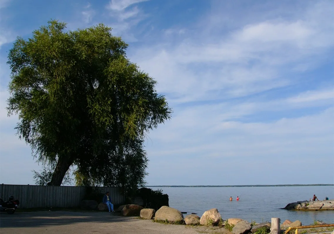
Georgina is a town in the northern part of York Region with a population of 47,642 and an area of approximately 287.75 square kilometres. Its territory reaches the southern shore of Lake Simcoe and includes the communities of Keswick, Sutton and Jackson’s Point.

The Holland River flows into Lake Simcoe near Keswick, while Cook’s Bay forms a major southern extension of the lake along Georgina’s shoreline. The town also includes beaches, marshes and agricultural land around Lake Simcoe, giving Georgina a distinct lakefront and rural geography within York Region.

City map East Gwillimbury
P199, CC BY-SA 3.0 – Wikimedia Commons

East Gwillimbury

East Gwillimbury is a town in northern York Region with 23,991 residents and an area of approximately 245.03 square kilometres. The town was established in 1850 and lies north of Newmarket, extending toward the southern lowlands of Lake Simcoe.

Its principal communities include Holland Landing, Queensville, Mount Albert and Sharon. The Holland River crosses the western part of East Gwillimbury on its way to Lake Simcoe, while the Sharon Temple National Historic Site is a notable 19th-century building in the community of Sharon.

City map Whitchurch-Stouffville
Raysonho @ Open Grid Scheduler / Grid Engine, CC0 – Wikimedia Commons

Whitchurch-Stouffville

Whitchurch-Stouffville is a town in eastern York Region with a population of 49,864 and an area of approximately 206.41 square kilometres. It was established in 1792 and lies east of Markham and north of Pickering, with an elevation of about 239 metres.

The town includes Stouffville, Ballantrae, Mount Albert and Gormley, combining a growing urban centre with farmland and forested areas. The Rouge River watershed reaches into Whitchurch-Stouffville, and the town’s historic railway development is reflected in the Stouffville GO rail corridor connecting the municipality with Toronto.

Data sources: OpenStreetMap (ODbL), Wikidata (CC0) · Image: Wikimedia Commons

York Region – Facts

Inhabitants 1109909
Area 1762.1 km²
Subregions 9
Inception 1971
Located in Ontario
Country Canada
Part of Greater Toronto Area
Website https://www.york.ca

Data source: Wikidata (CC0)

Roads in Regional Municipality of York