
Georgina, Ontario
Georgina is located in York Region. Around 47,642 people live here. The region lies at 239 metres above sea level. Its area extends over around 287.8 square kilometres. Georgina has around 2.175 streets. Georgina is town in York Region, Ontario, Canada. Among other things, Georgina has public transport, restaurants, cafés, supermarkets, attractions, museums, schools, banks, hairdressers, dentists, doctors and pharmacies. For more information, see www.Georgina.ca.
Georgina – Facts
| Inhabitants | 47642 |
|---|---|
| Area | 287.8 km² |
| Elevation | 239 m |
| Located in | Regional Municipality of York |
| Country | Canada |
| Website | https://www.georgina.ca/ |
Data source: Wikidata (CC0)
Photos from Georgina
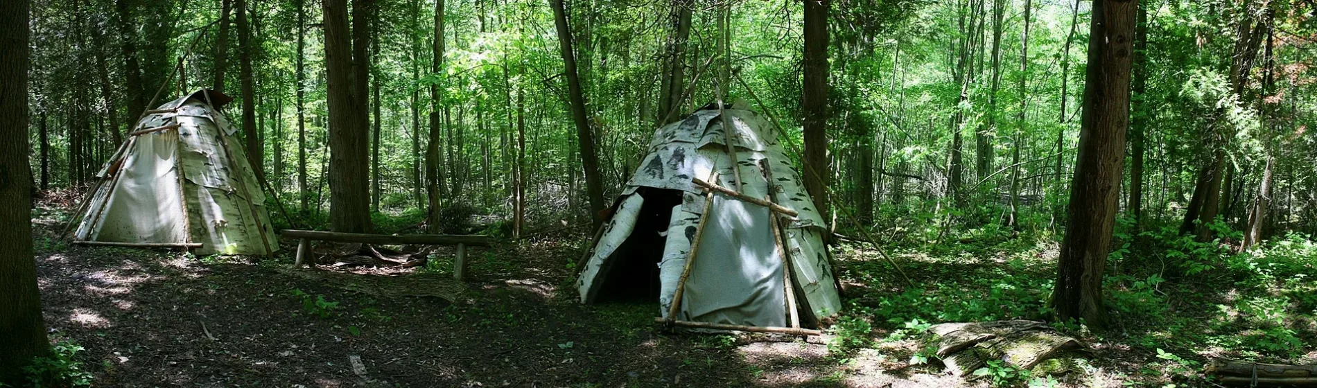
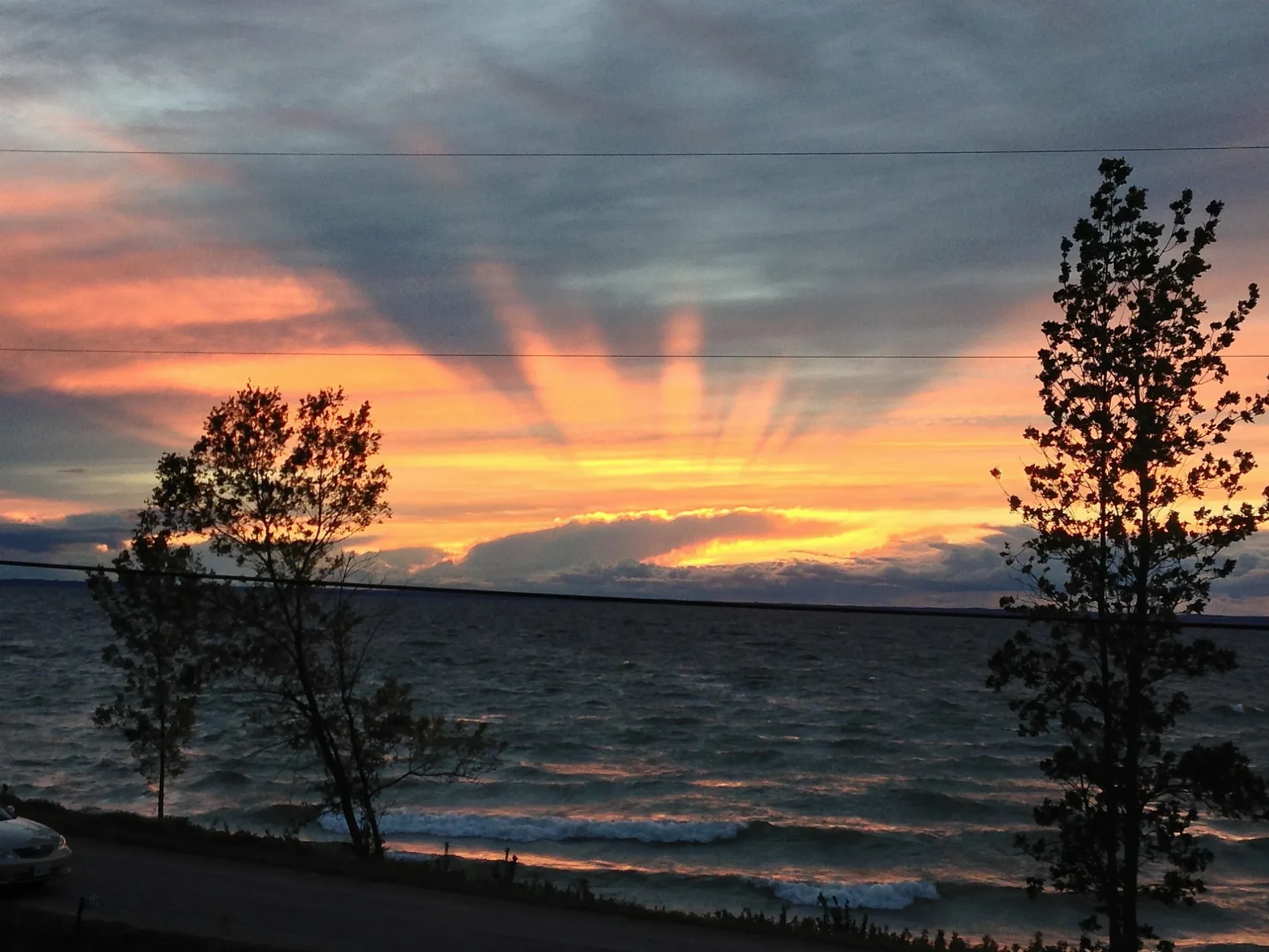
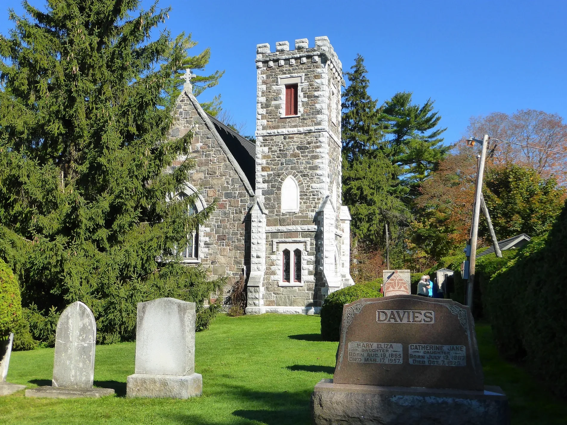
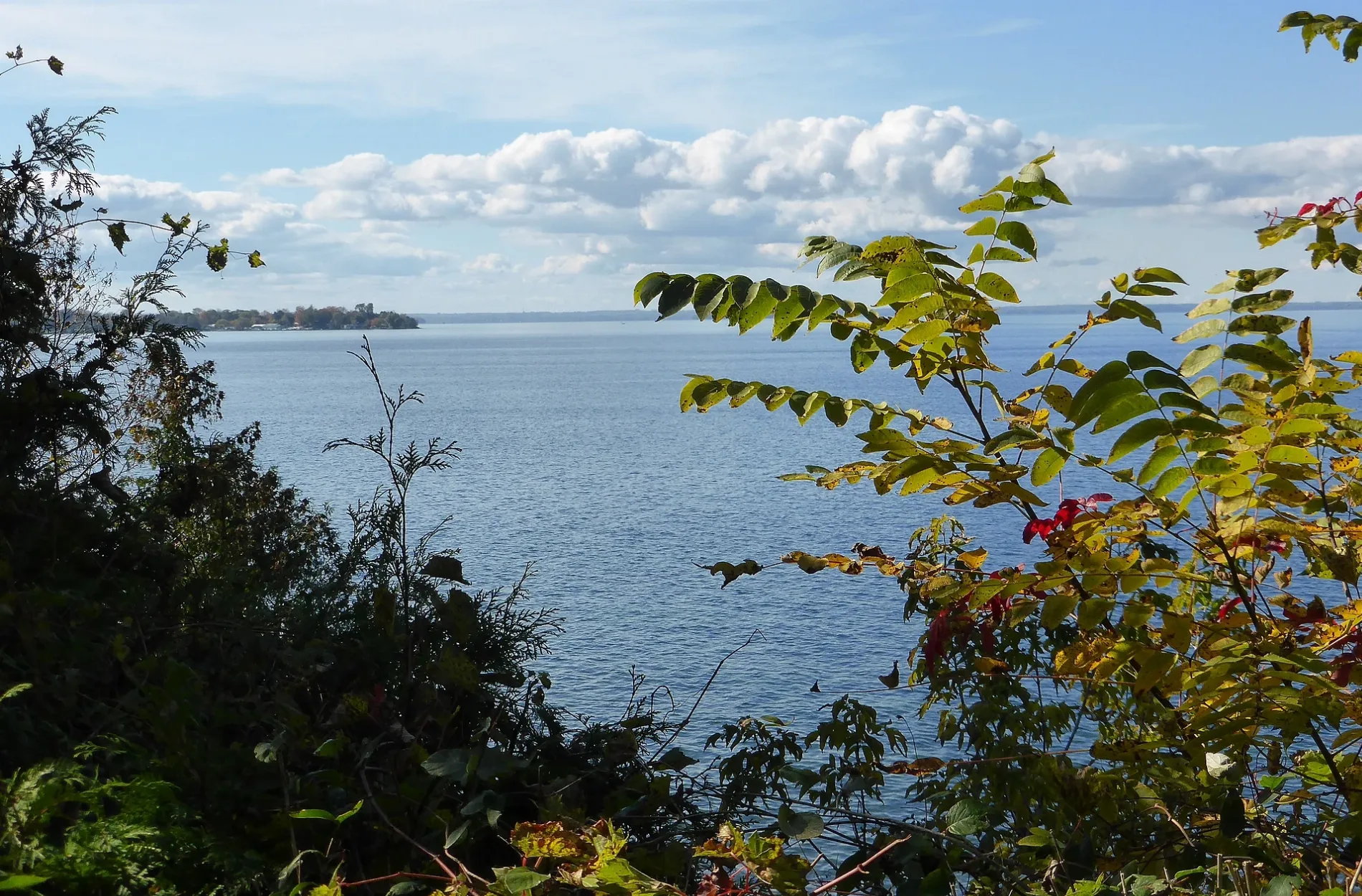
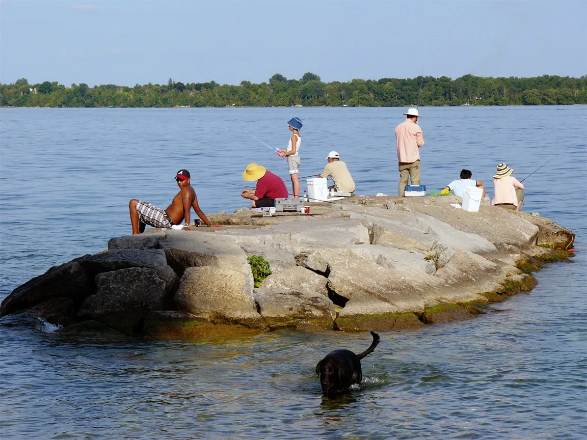
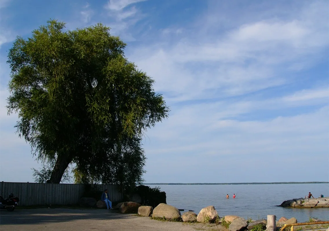
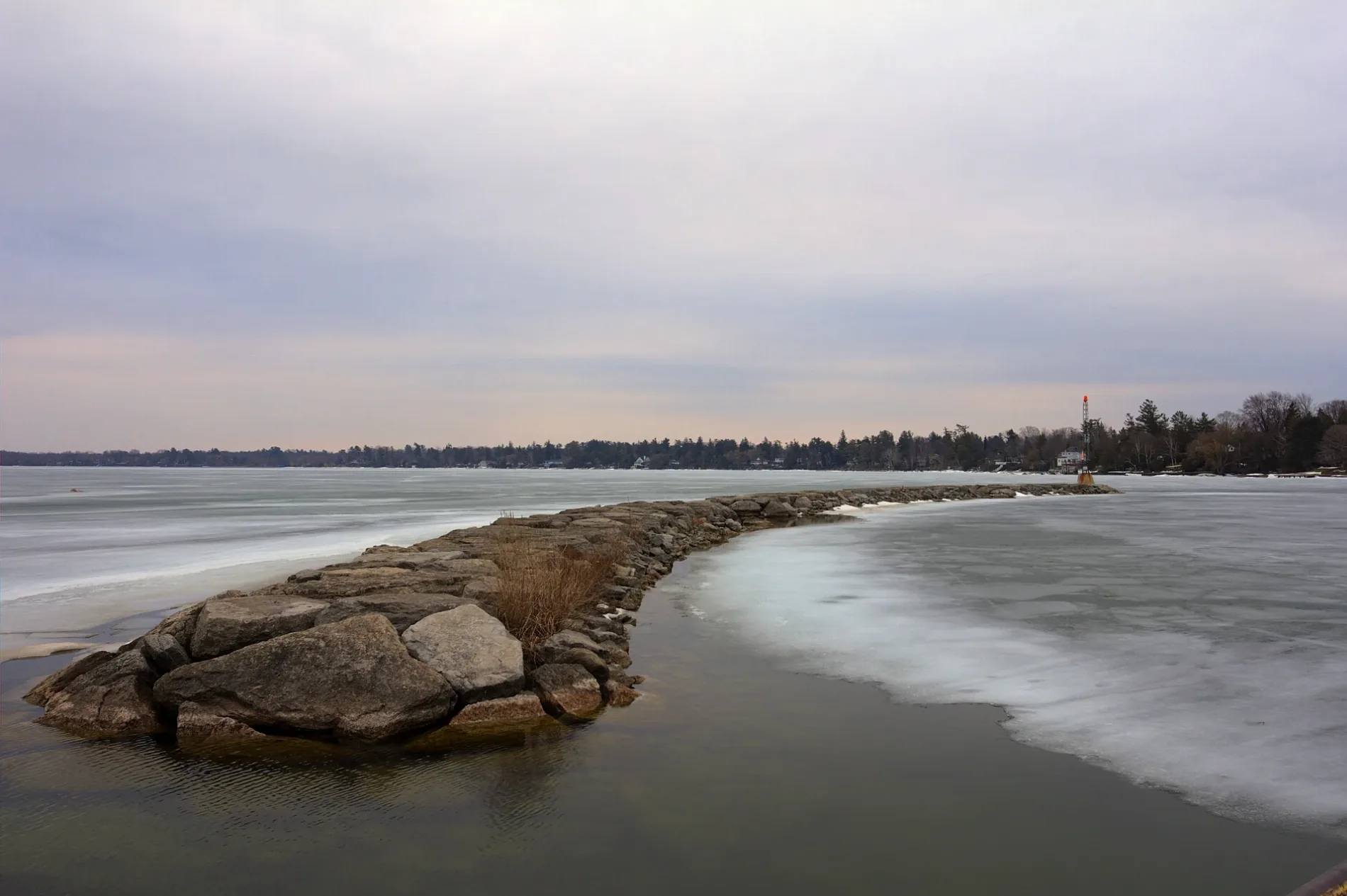
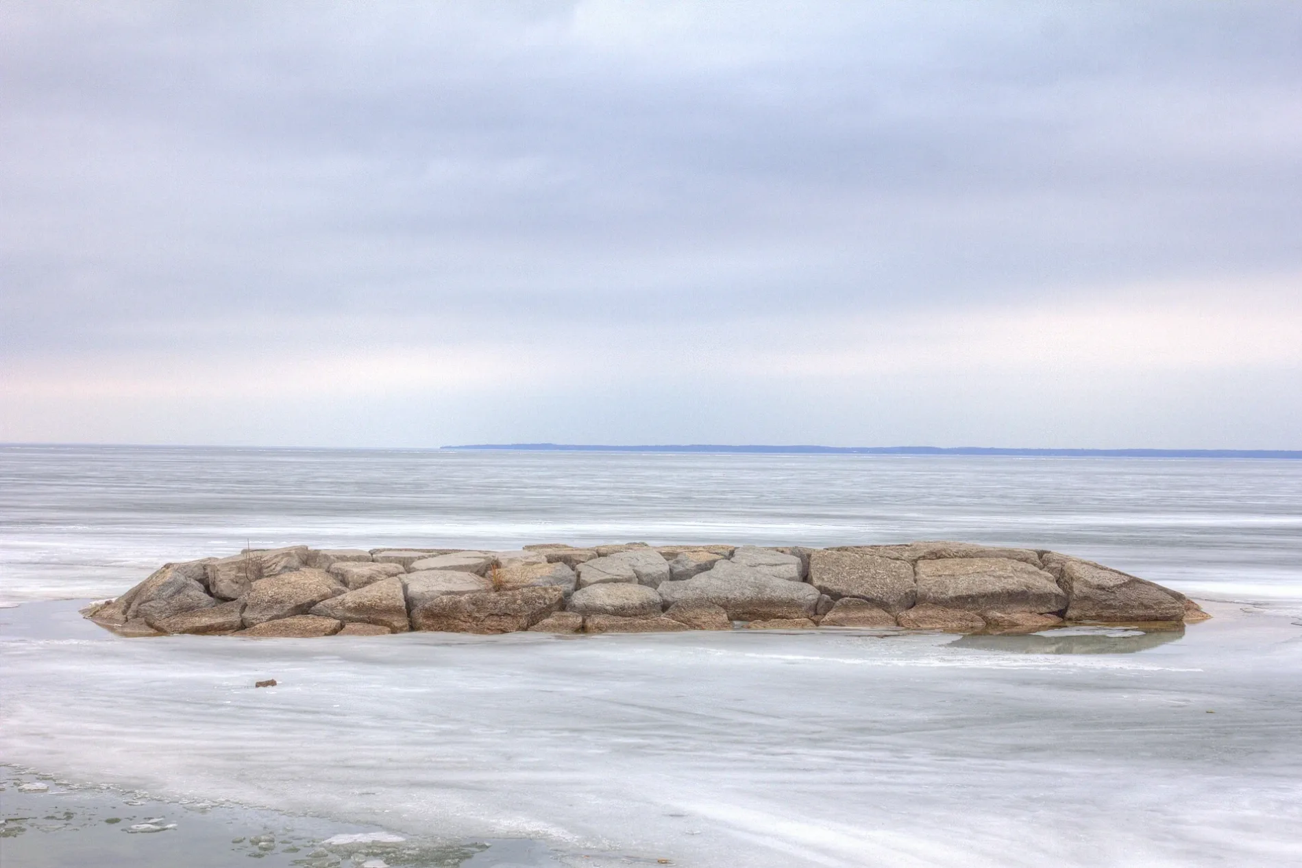
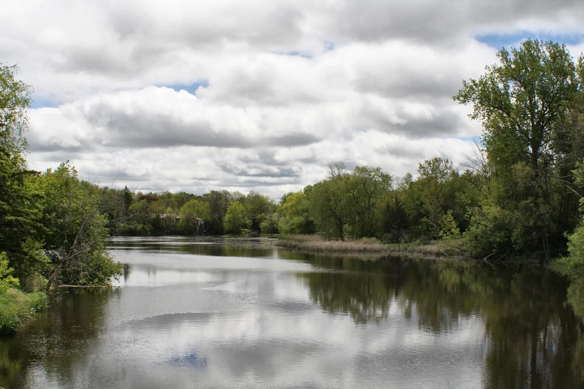

Georgina
This page is the City map of Georgina, a town in York Region, Ontario, Canada, showing its streets, paths and places. Georgina has around 47,642 residents and covers approximately 287.8 square kilometres. The town lies at an elevation of about 239 metres above sea level and occupies the northern part of York Region along the southern shore of Lake Simcoe. The municipality includes communities such as Keswick, Sutton, Jackson’s Point, Pefferlaw, Udora and Virginia.
Data sources: OpenStreetMap (ODbL), Wikidata (CC0) · Image: Wikimedia Commons
Roads in Georgina, Ontario
Roads
Apartment buildings
Buildings
Commercial areas
Forests
Marinas
Military areas
Places of worship
Retail areas
Supermarkets
| Railway | |
| Bus | |
| Tram |
| Cycle path | |
| Cycle lane on road | |
| Cycling on bus lane | |
| Bicycle street | |
| Cyclists allowed | |
| Cyclists allowed, good surface | |
| No cycling | |
| Cobblestones |
| Long-distance cycle route | (depending on scale) | |
| Long-distance cycle route |
| Path |
| Long-distance hiking trail | (depending on scale) | |
| Long-distance hiking trail | ||
| No pedestrians |