
Rue du Bassin à Pointe-des-Cascades, Québec
Rue du Bassin à Pointe-des-Cascades est une rue résidentielle à deux voies, asphaltée (30 km/h). Aucun trottoir. Elle se dirige dans la direction nord-sud en venant de la rue de l'Écluse et se termine au chemin du Canal. Rue du Bassin existe également à Roussillon.
- Type de route
- rue résidentielle
- Voies
- 2
- Vitesse maximale
- 30
- Itinéraire
- nord-sud
Image
Garages
Routes à proximité
Rue de l'Écluse200 m
Rue Brunet200 m
Rue du Havre200 m
Rue de Montigny250 m
Rue CentralePointe-des-Cascades, Dépanneur La Franchise
300 m
Rue Cascades300 m
Rue Chamberry350 m
Chemin du Canal350 m
Rue ClaudeStationnement piste cyclable
400 m
Rue Beaubec400 m
Rue De Léry400 m
Rue Kataracui400 m
Piste cyclable Soulanges450 m
Rue Ménard450 m
Chemin de l'Aqueduc500 m
Rue Desgroseilliers500 m
Place Payer500 m
Rue Juillet550 m
Chemin du FleuveHôtel de ville Pointe-des-Cascades, Bibliothèque Adrienne-DeMontigny
550 m
Rue Leroux600 m
Rue Danis650 m
Place Albert-LerouxGarage Hayes
700 m
Place du Portage700 m
Sentier du Belvédère750 m
Place du Rocher-Fendu750 m
Rue des Ateliers750 m
Place des Galets800 m
Rue du Summerlea800 m
Rue Chéribourg850 m
Promenade du CanalP3
950 m
Rue du Palace950 m
Rue du Manoir950 m
Place Saint-Marseille950 m
Sentier du Phare1000 m
Rue Gareau1000 m
Boulevard de Soulanges1,1 km
Route de LotbinièreDépanneur La Franchise, Carrosserie Vaudreuil-Dorion ProColor - Réparevitre, Centre d'auto Carl, Pieces d'auto L.S., L.S. Pneus et mécanique, P'tite Laine, Rubie Coiffure, Caserne Lotbinière - 11, Le Zèbre Rouge, Au Vieux Duluth, Môtel Le Marigot, RCHS Marine, GP Performance, Centre de pêche C.R.
1,1 km
Place Montreuil1,2 km
La Carrière1,2 km
La Borne1,3 km
Les Faucilles1,4 km
Place Clément1,5 km
Centre communautaires à proximité
Centre communautaire Saint-Marseille350 m
Cimetières à proximité
Cimetière de Pointe-des-Cascades1,1 km
Lieux de culte à proximité
Église Saint-Pierre400 m
Parcs à proximité
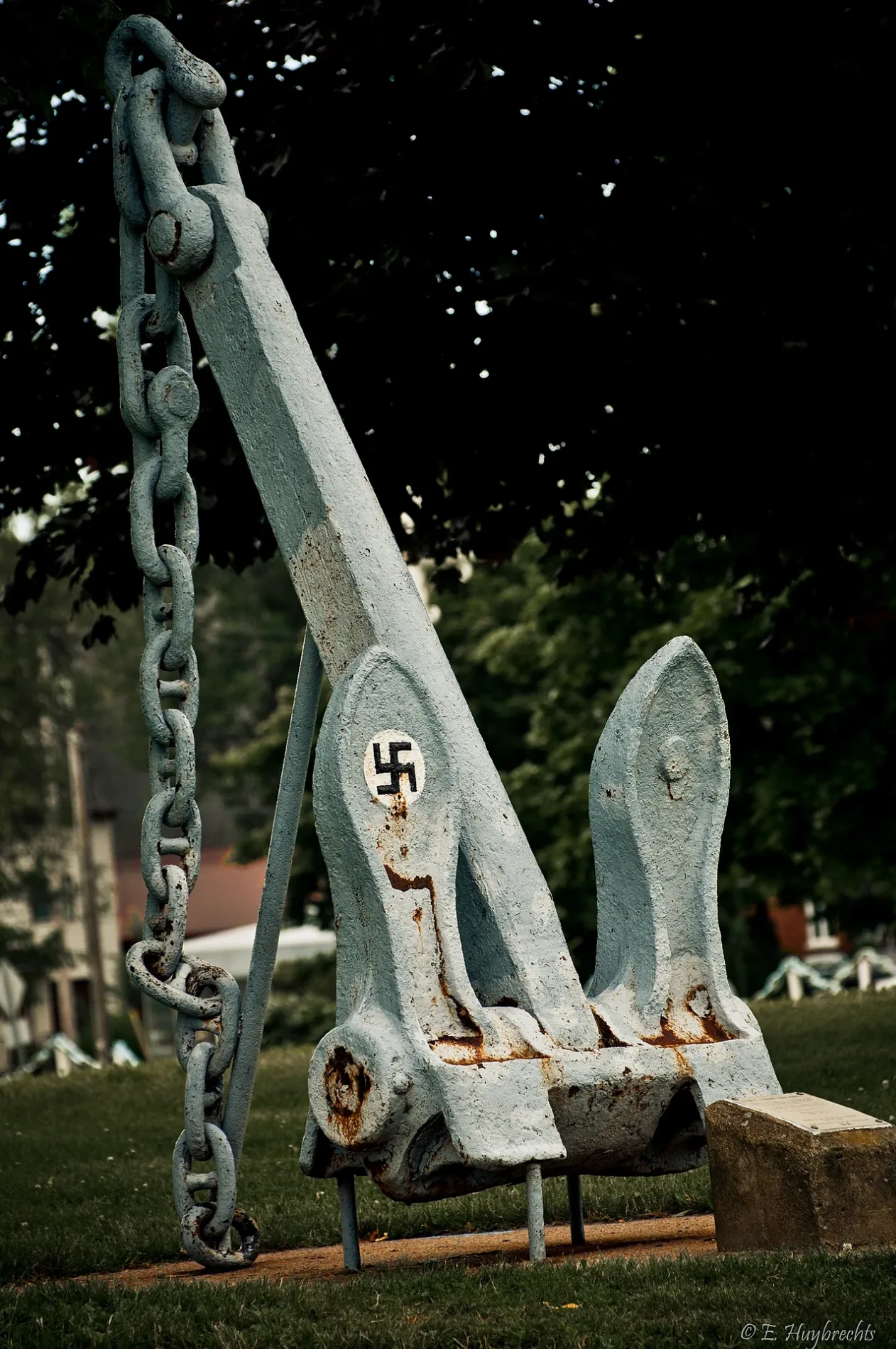
Parc des Ancres250 m
Parc Saint-François1,6 km
Plan d'eau à proximité
Canal de Soulanges550 m
Zone résidentielles à proximité
Hautes Rives Summerlea500 m
Plan des transports en commun Pointe-des-Cascades Légende
| Chemin de fer | |
| Bus | |
| Tramway |
Plan vélo Pointe-des-Cascades Légende
| Piste cyclable | |
| Bande cyclable sur chaussée | |
| Vélo sur voie de bus | |
| Rue cyclable | |
| Cyclistes autorisés | |
| Cyclistes autorisés, bon chemin | |
| Vélo interdit | |
| Pavés |
| Voie verte longue distance | (selon l'échelle) | |
| Voie verte longue distance |
Plan piéton Pointe-des-Cascades Légende
| Sentier |
| Sentier de grande randonnée | (selon l'échelle) | |
| Sentier de grande randonnée | ||
| Interdit aux piétons |