
Bukit Batok West Avenue 6 in Bukit Batok Central
Bukit Batok West Avenue 6 in Bukit Batok is a two-lane, asphalted secondary road (50 km/h). It runs in a southeast-northwest direction and crosses Bukit Batok West Avenue 8, Bukit Batok Street 11, Bukit Batok West Avenue 3, Bukit Batok West Avenue 9, Bukit Batok Road, Bukit Batok Avenue 1 and Bukit Batok East Avenue 6. It connects Brickland and Bukit Batok Central. In the vicinity, there is among other things an ATM. The nearest stops are Blk 109 and Opposite Blk 144. The bus lines 66, 176, 188, 188e, 453, 868, 868E, 870, 941, 991, 991A and 992 serve this stop. Bukit Batok West Avenue 6 also exists in Bukit Batok West.
- Road Type
- secondary road link
- Lanes
- 1
- Speed Limit
- 50
- Route
- southeast-northwest
Image
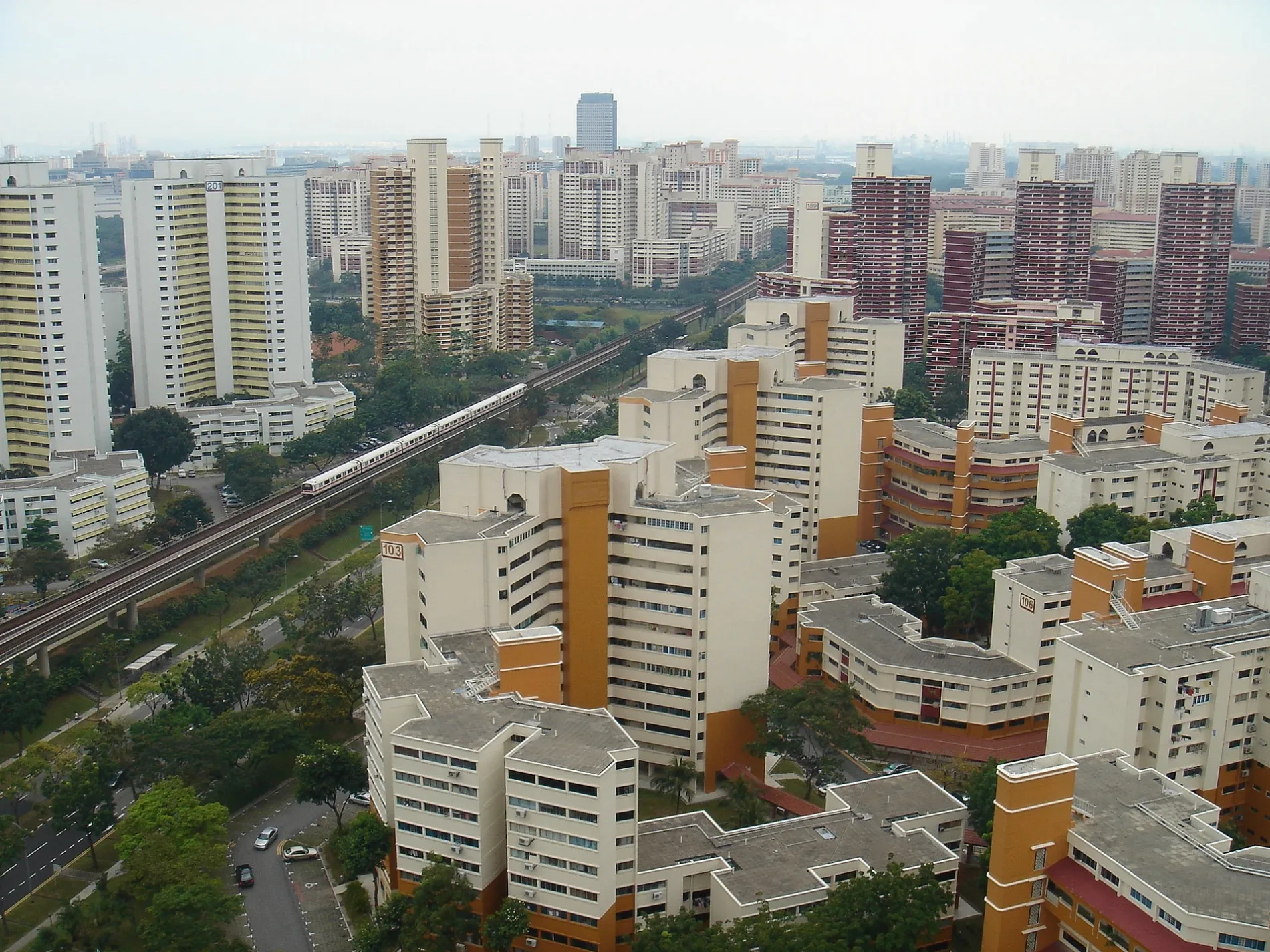
Roads nearby
Bukit Batok Avenue 1Blk 102, Bukit Batok Neighbourhood Police Post
100 m
Bukit Batok East Avenue 6Opposite Bukit View Secondary School, Blk 291A, Bukit Batok Swimming Complex
100 m
Bukit Batok Park ConnectorOpposite Blk 102, NTUC FairPrice, Bukit Batok Community Club
150 m
Bukit Batok Street 22350 m
Bukit Batok Central LinkBukit Batok, Bukit Batok Public Library, Harvey Norman, Cathay Cineplex, Ya Kun Family Cafe, Watsons, Guardian, Starbucks, Bukit Batok Central Post Office, Koufu, Valu$, Bata
400 m
Jurong Park ConnectorDean's Coffee Shop, Blk 207
400 m
Bukit Batok Street 11450 m
Bukit Batok CentralAfter Bukit Batok Station/Blk 628, OCBC Business, Newhouse Furnishing, Tai Hin Pawnshop, Blk 644, Time's Vege, Texas Chicken, 肯德基, Cold Storage, Sunny Choice, The Coffee Bean & Tea Leaf, Popular, Blk 225, Bukit Batok Central, Opposite Blk 120
450 m
Bukit Batok Street 21Opposite Blk 217, Blk 217, Opposite Bukit View Secondary School, Bukit View Secondary School, Wan Hao Kopitiam, Viet Corner, Nurul Delight, New Chef Western
450 m
Bukit Batok West Avenue 8NTUC FairPrice, St 19 Coffee House, Blk 154A, Blk 169, Sheng Siong, Wet Market, SKP Pte. Ltd., Cheers, Creative Bakery, G THG F&B, Blk 183, Blk 168
500 m
Bukit Batok Industrial Park AGreen basikal
550 m
Ulu Pandan Park ConnectorBlk 288C, Fu Jiang Food Court
550 m
Jurong East CentralBlk 266
600 m
foot path600 m
Toh Guan RoadOpposite IMM Building, IMM Building, Burger King, Opposite Blk 288D, Blk 286A, Ya Kun Kaya Toast, Blk 288E, Broadway Food court, Joo Guan Hin Minimart, Bangkok Street Mookata, Broadway Coffee Shop
600 m
Jurong East Street 24UOB, NTUC FairPrice
650 m
Pan Island Expressway650 m
Toh Guan Road EastAlliance Building, MasterPro, Hitachi Elevator Building, Khoon Coffeehouse, Opposite Jurong East WaRehabilitatione, Jurong East WaRehabilitatione, Wang-Fu Industrial Private Limited, Opposite Uni-Tech Centre, Soon Huat Tyres, Choo Chiang Marketing, Opposite Toh Guan Centre, Toh Guan Centre, Shi Fu Food Court, Excel Cycle Centre, Precept Electrical, Ming Chong Auto Parts Accessories Trading, Hong Feng Hardware, Hao Di Fang Fish Soup, The Detail Studio, Sri Murugan Trading, Food Hub, AKS Creation, Istar Trading Pte, Gold Autoworks, Str Tao Taiwanese Cuisine, Zhen's Kitchen, Amici Enterprise
700 m
Pan-Island Expressway700 m
Jurong East Avenue 1Soul Kind Cafe, Blk 252, Blk 229, Choices, Blk 239, Blk 246
750 m
FootpathBlk 284
800 m
covered footpath800 m
Buildings nearby
Cambridge Industrial Trust550 m
StorHub Self Storage Jurong East850 m
Commercial areas nearby
Bukit Batok West Shopping Centre500 m
Bukit Batok Town Centre550 m
Community centres nearby
Bukit Batok Community Club450 m
Constructions nearby
Jurong East Breeze450 m
Toh Guan Grove750 m
Industrial buildings nearby
Swift Precision Engineering Pte Ltd400 m
Mass Technologies500 m
Propell Building550 m
Parks nearby
Bukit Batok Central (neighbourhood) Park250 m
Bukit Batok Neighbourhood Park550 m
Places of worship nearby
Tong Tien Kung Temple500 m
Ling Hong Tong & Tua Peh Kong Temple500 m
Residential areas nearby
Skyline I @ Bukit Batok300 m
Skyline II @ Bukit Batok350 m
Sky Vista @ Bukit Batok450 m
Bukit Batok Green450 m
The Jade500 m
Toh Guan View850 m
Restaurants nearby
Toh Guan Food&Drinks Centre650 m
Schools nearby
Bukit View Secondary School700 m
Bukit View Primary School750 m
Self-storages nearby
Storhub500 m
Shelters nearby
resting gazebo750 m
Shopping malls nearby
West Mall500 m
Subway lines nearby
North South Line (NS)300 m
 Public transport map Bukit Batok Central Legend
| Railway | |
| Bus | |
| Tram |
 Cycling map Bukit Batok Central Legend
| Cycle path | |
| Cycle lane on road | |
| Cycling on bus lane | |
| Bicycle street | |
| Cyclists allowed | |
| Cyclists allowed, good surface | |
| No cycling | |
| Cobblestones |
| Long-distance cycle route | (depending on scale) | |
| Long-distance cycle route |
 Walking map Bukit Batok Central Legend
| Path |
| Long-distance hiking trail | (depending on scale) | |
| Long-distance hiking trail | ||
| No pedestrians |