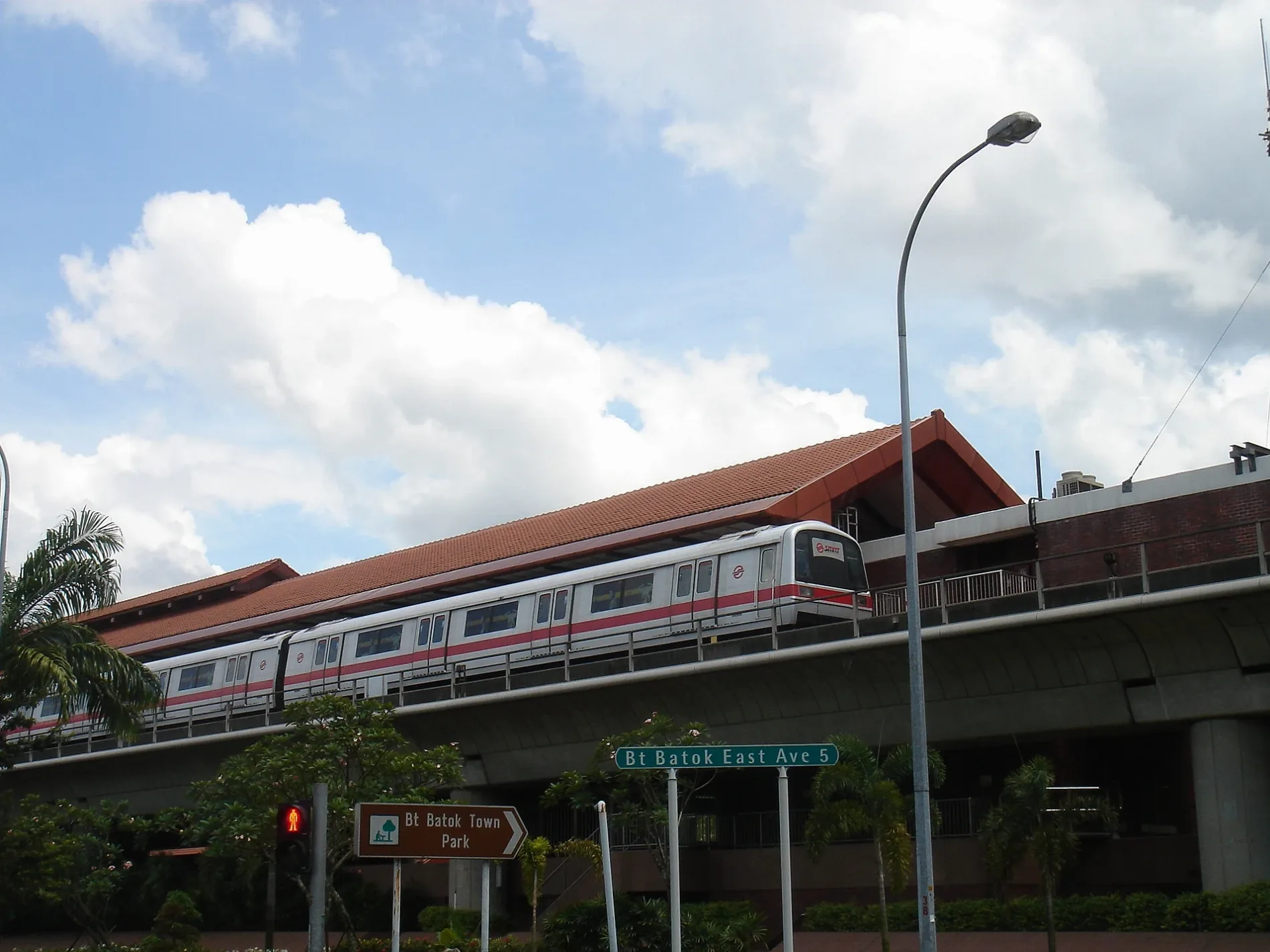
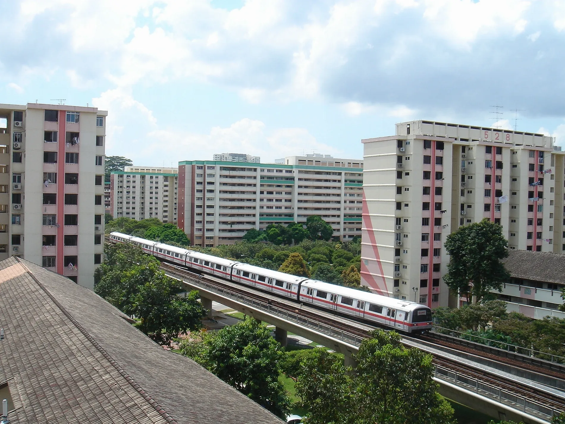
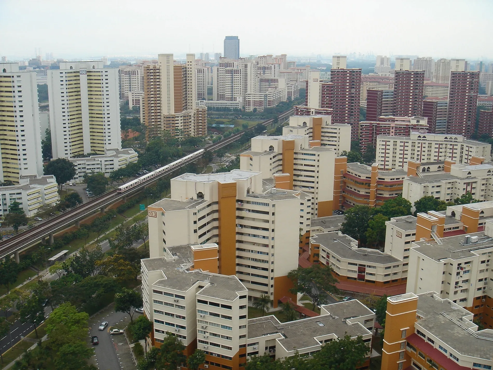
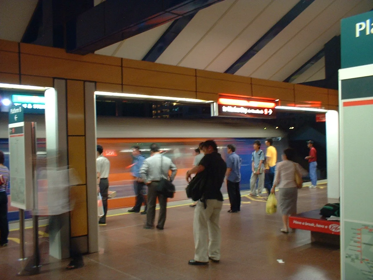

Description: Bukit Batok Planning Area (URA)

Bukit Batok
Bukit Batok is located in West Region. Its area extends over around 11.1 square kilometres. The region is divided into 9 Counties. The region was founded in the year 1975. Bukit Batok is urban planning area and satellite residential town in the western part of Singapore. For more information, see www.bukitbatok.org.sg.
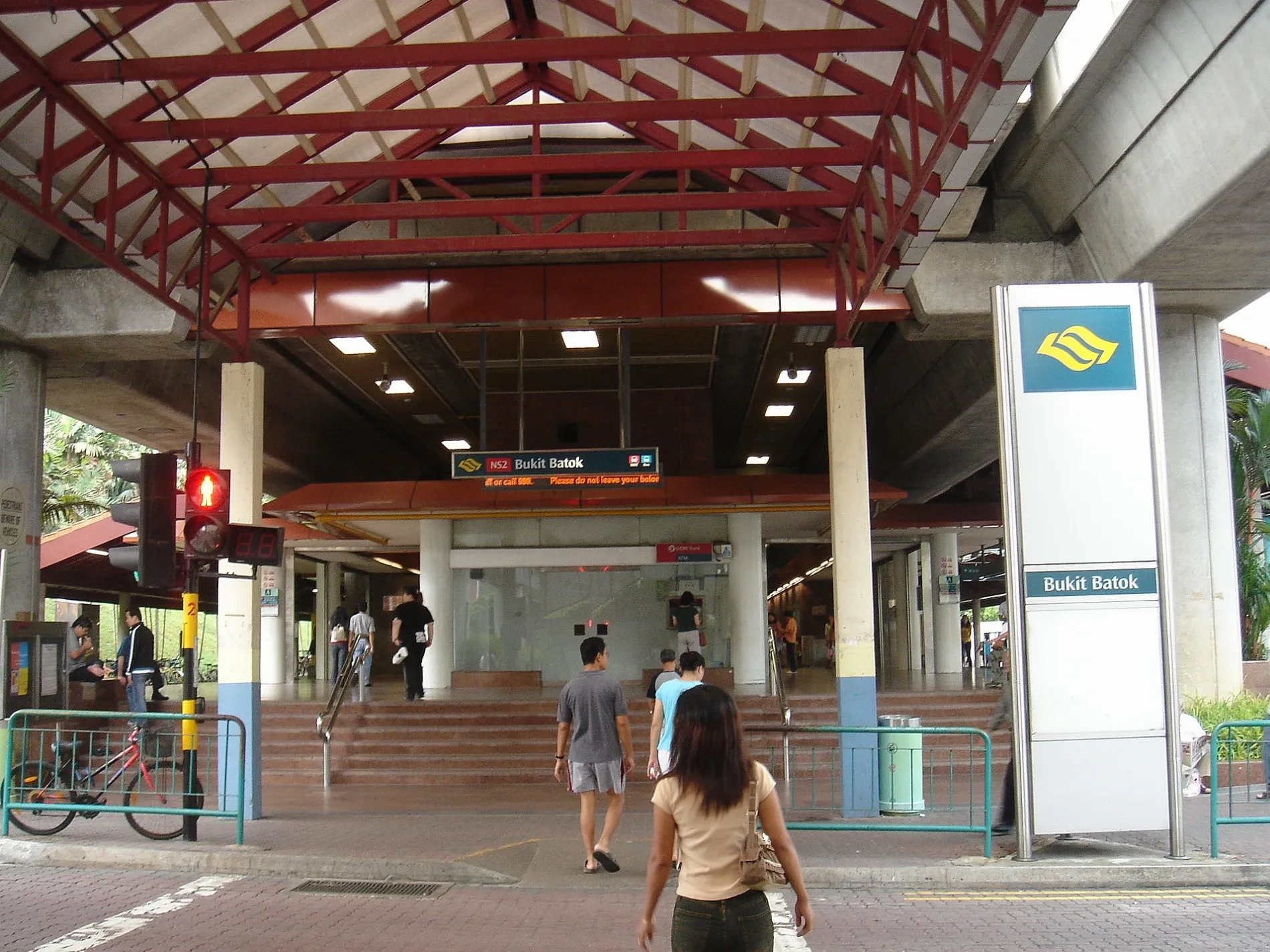
Photos from Bukit Batok
| Inception | 1975 |
|---|---|
| Area | 11.1 km² |
| Elevation | 170 |
| Located in | West Region |
| Country | Singapore |
| Website | http://www.bukitbatok.org.sg |
 Public transport map Bukit Batok Legend
 | Railway | |
| Bus | |
| Tram |
 Cycling map Bukit Batok Legend
 | Cycle path | |
| Cycle lane on road | |
| Cycling on bus lane | |
| Bicycle street | |
| Cyclists allowed | |
| Cyclists allowed, good surface | |
| No cycling | |
| Cobblestones |
| Long-distance cycle route | (depending on scale) | |
| Long-distance cycle route |
 Walking map Bukit Batok Legend
 | Path |
| Long-distance hiking trail | (depending on scale) | |
| Long-distance hiking trail | ||
| No pedestrians |