
Bukit Batok East Avenue 5 in Guilin
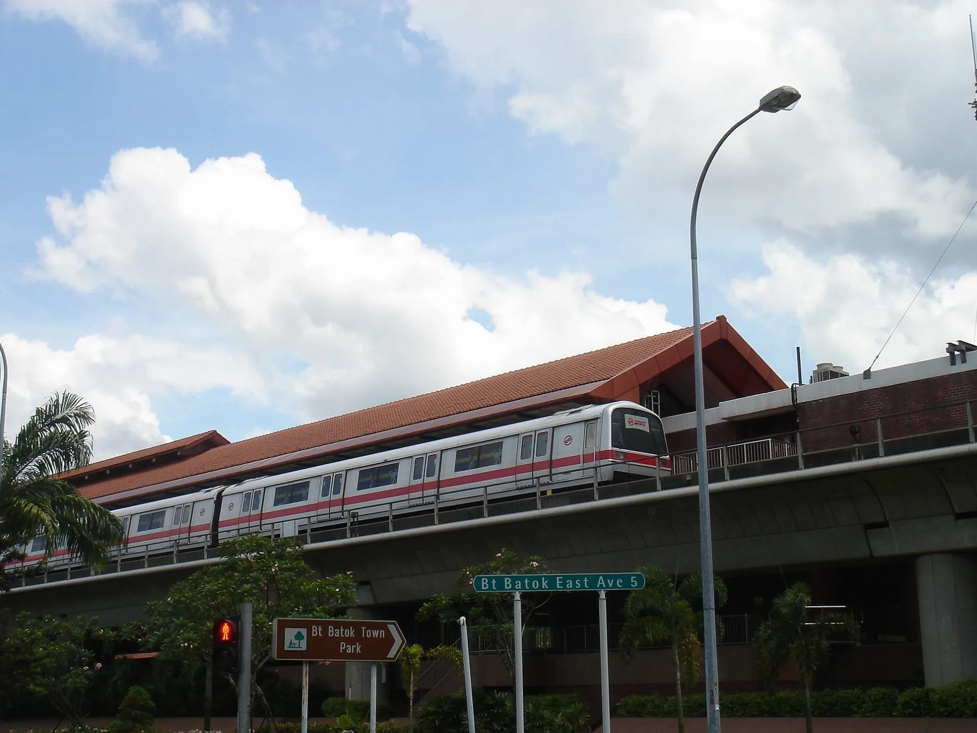
Bukit Batok East Avenue 5 in Bukit Batok is a single-lane, asphalted tertiary road (50 km/h). It runs in a southeast-northwest direction starting from Bukit Batok West Avenue 5 and crosses Bukit Batok Street 52, Regent Heights and Bukit Batok East Avenue 2 and ends at Bukit Batok East Avenue 4. It connects Guilin, Bukit Batok East and Hong Kah North. The nearest stops are Opposite Bukit Gombak Stadium and Blk 510. The bus lines 871, 871A and 945 serve this stop.
- Road Type
- tertiary road
- Lanes
- 2
- Speed Limit
- 50
- Route
- southeast-northwest
Image
Bus stops
- bus lines 871, 871A, 945
Roads nearby
Bukit Batok West Park ConnectorYWCA Child Development Centre (Bukit Gombak)
50 m
Open SquarePrime, Singapore Pools, Bukit Gombak Neighbourhood Centre
50 m
Choa Chu Kang Park Connector7-Eleven, Mr Bean, Mari Mari, Pizza Hut Express, Bukit Gombak Station, Bukit Gombak, Subway, UOB, Umi Sushi, Q&M Dental Surgery, OneCare Clinic, Vista Dental Surgery, Liho, MOS Burger
250 m
Bukit Batok Street 51300 m
Bukit Batok Street 31office job sg, Giant, Kimly Coffeeshop, Kedai Kopi
300 m
Former Bukit Gombak Trail350 m
Bukit Batok Street 32Hong Kah North Neighbourhood Police Post, Hong Kah North, dim sum
500 m
Bukit Batok East Park ConnectorBlk 258, Regent Heights, Bukit Gombak Stadium, 7-Eleven, Anagreen, Guilin
550 m
Bukit Batok Street 527-Eleven, Ren Ci @ Bukit Batok Street 52, Blk 514
600 m
Bukit Batok West Avenue 2Opposite Blk 315, Opposite Blk 305
600 m
Chu Lin Road650 m
Bukit Batok Park ConnectorBefore Bukit Batok West Avenue 5
650 m
Bukit Batok West Avenue 5Bukit Gombak Station, Opposite Blk 532, Bukit Batok Driving Centre, McDonald's, Alif Restaurant, Opposite Bukit Gombak Station, Q&M Dental Surgery, Blk 347, food clique, 7-Eleven, Happy Sunshine Bubble Tea, Hwa Jin Vegetarian Family Restaurant, An Kang TCM, Meng Soon Huat Food Centre
700 m
Bukit Batok Street 34Saint Anthony's Primary School
700 m
Bukit Batok CentralOpposite Blk 628, Hilltop Garden Restaurant
700 m
Former Hillview Mansion750 m
Chu Yen Street750 m
Jalan RemajaHillview House, 7-Eleven, Al Ameen@Hillview
750 m
Regent Heights750 m
Jalan Dermawan800 m
Hillview AvenueDomino's, Koi, Wang Family Kitchen, Mums’ Coffee House, Pick, Opposite Hillview Apartments, IO, 7-Eleven, Starbucks, Guardian, Burger King, Tandoori Culture, Smile Arts, Pet Lovers Cemtre, Opposite Glendale Park Condominium, CS Fresh, Chong Qing Grilled Fish, Wine Connection Bistro, Jiak Modern Tze Char, Cedele, Jo-Yi Bakery, Young Dancers Studio, Juz Scoop, She Sells Sea Shells, SolPrime, Kaijou, Opposite Hillview Heights, Hillington Green Condominium, Hillbrooks, Before Glendale Park Condominium
900 m
Leisure nearby
Civil Service Club @ Bukit Batok600 m
Body of waters nearby
Seng Chew Quarry550 m
Little Guilin550 m
Buildings nearby
Clubhouse250 m
Commercial areas nearby
Bukit Gombak Shopping Centre200 m
Community centres nearby
Hong Kah North Community Club300 m
Constructions nearby
West Glades @ Bukit Batok550 m
Parks nearby
Bukit Batok Town Park500 m
Beauty Garden Park500 m
Jalan Dermawan Playground850 m
Chu Yen Playground900 m
Playgrounds nearby
Creative Play Area300 m
Residential areas nearby
Sunshine Villas200 m
Bukit Gombak Vista200 m
The Madeira250 m
Hong Kah Green350 m
Guilin View400 m
Guilin Breeze500 m
Hillgrove Gardens650 m
Montrosa900 m
Residential buildings nearby
Ren Ci400 m
Regent Heights Tower A800 m
Sports centres nearby
Bukit Gombak Sports Hall250 m
Stadiums nearby
Bukit Gombak Stadium150 m
Subway lines nearby
North South Line (NS)700 m
Swimming pools nearby
Children Swimming Pool250 m
tower a pool800 m
tower b pool800 m
Public transport map Guilin Legend
| Railway | |
| Bus | |
| Tram |
Cycling map Guilin Legend
| Cycle path | |
| Cycle lane on road | |
| Cycling on bus lane | |
| Bicycle street | |
| Cyclists allowed | |
| Cyclists allowed, good surface | |
| No cycling | |
| Cobblestones |
| Long-distance cycle route | (depending on scale) | |
| Long-distance cycle route |
Walking map Guilin Legend
| Path |
| Long-distance hiking trail | (depending on scale) | |
| Long-distance hiking trail | ||
| No pedestrians |