
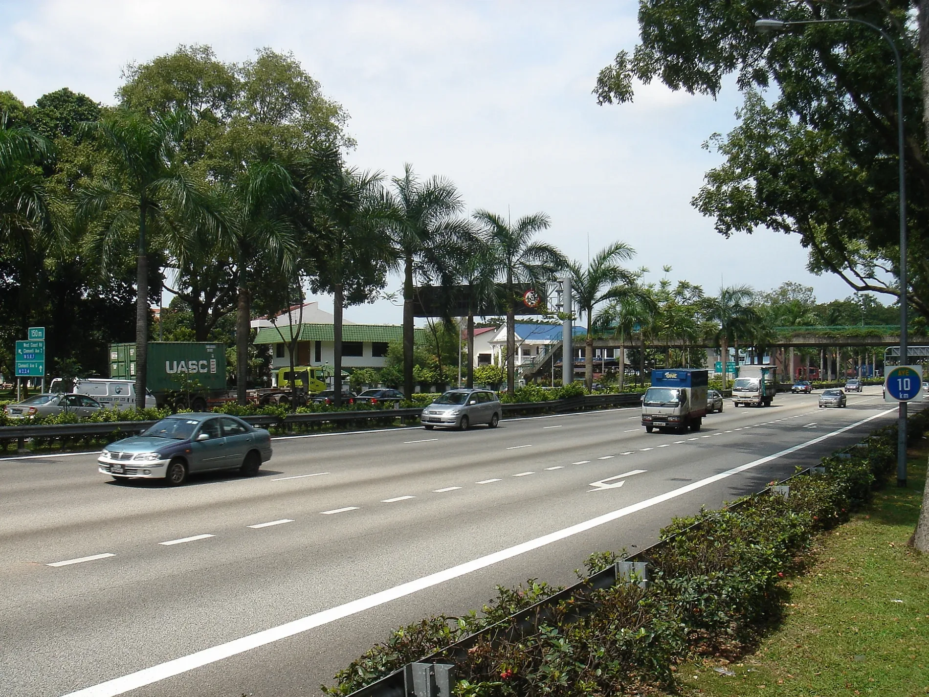
Clementi Road in Clementi Woods
Clementi Road in Clementi is a three-lane, asphalted main road (60 km/h). It runs in a north-south direction and crosses Kent Ridge Crescent, Ayer Rajah Expressway, Clementi Avenue 1, Dover Road, Commonwealth Avenue West, Clementi Avenue 2, Ulu Pandan Road, Sunset Lane, Sunset Way and Clementi Street 13 and ends at Brookvale Walk, while the other end is a cul-de-sac. It connects Clementi Woods, Sunset Way and Clementi North. This road is part of the long-distance road "AH2". In the vicinity, there is among other things a supermarket. The nearest stops are After Clementi Avenue 1, Tentera Diraja Mosque and Opposite Kent Ridge Terminal. The bus lines 10, 33, 33A, 74, 95, 95B, 96, 96B, 97, 151, 183, 188, 189, 196, 197, 198, 200, 201, 963, 963e, A1, A2 and K serve this stop. Clementi Road also exists in Clementi West.
- Road Type
- main road
- Lanes
- 3
- Speed Limit
- 70
- Route
- north-south
Image
Supermarkets
Roads nearby
College Avenue WestApartment buildings nearby
Blk IArtwork nearby
NUS THE BEST CAMPUS LIFEBuildings nearby
Education Resource CentreFast food restaurants nearby
CanteenIndustrial areas nearby
UTown District Cooling FacilityMusic schools nearby
Yong Siew Toh Conservatory of MusicParks nearby
Town GreenResidential areas nearby
Acacia CollegeSands nearby
Berlin Wall fragmentsSwimming pools nearby
UTown PoolUniversity buildings nearby
Stephen Riady CentreOther nearby
NUS Sport Climbing Wall Public transport map Clementi Woods Legend
| Railway | |
| Bus | |
| Tram |
 Cycling map Clementi Woods Legend
| Cycle path | |
| Cycle lane on road | |
| Cycling on bus lane | |
| Bicycle street | |
| Cyclists allowed | |
| Cyclists allowed, good surface | |
| No cycling | |
| Cobblestones |
| Long-distance cycle route | (depending on scale) | |
| Long-distance cycle route |
 Walking map Clementi Woods Legend
| Path |
| Long-distance hiking trail | (depending on scale) | |
| Long-distance hiking trail | ||
| No pedestrians |