
Colinswell Road in Burntisland
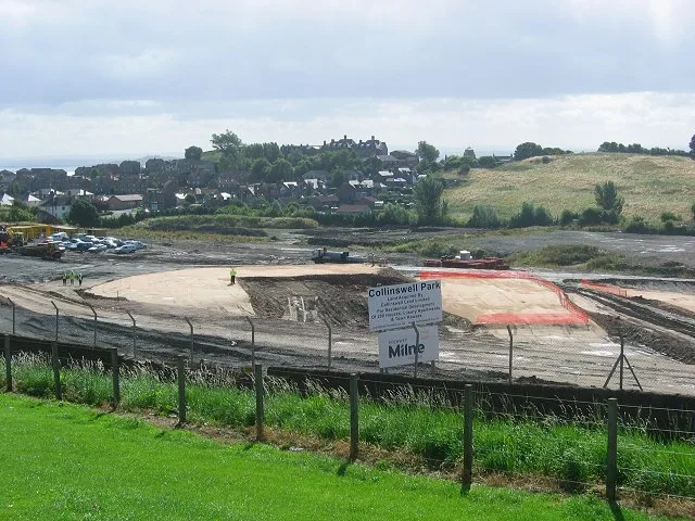
Colinswell Road in Alba / Scotland, Burntisland is a two-lane, asphalted, lit residential street. The road has sidewalks. It runs in an east-west direction starting from Bendameer Road and crosses Stenhouse Drive, Kinninmonth Avenue, Silverbarton Terrace, Dunearn Bank and Grange Road and ends at Dollar Road. The nearest stops are Dunearn Bank, Silverbarton Terrace and Stenhouse Drive. The bus line 7 stops here.
- Road Type
- residential street
- Speed Limit
- 20 mph
- Lanes
- 2
- Route
- east-west
Image
Bus stops
- bus lines 7
Roads nearby
Stenhouse Drive100 m
Kinninmonth Avenue100 m
Inchgarvie Avenue100 m
Kilmundy DriveGrange Road
150 m
Bendameer RoadGrange Farm Cottage, Bendameer Road
200 m
Fidra Avenue200 m
Meldrum Crescent200 m
Silverbarton Terrace200 m
Dunearn Bank250 m
Oxcars Avenue250 m
Car Craig View250 m
Grange House Gardens300 m
Seals Craig View300 m
Little Craigs View300 m
Collinswell Drive350 m
Grange RoadThe Book Exchange
400 m
Seamill Gardens400 m
Burnside Gardens450 m
Geds Mill Close500 m
Church Grove500 m
Rossend Terrace500 m
Church StreetKirkton Churchyard
550 m
Haddow Grove550 m
Craig Court550 m
Fairfax Court550 m
Kirkton Gardens550 m
Kilmundy Hill Path550 m
Melville Gardens550 m
Dollar Grove550 m
Aberdour RoadJubilee Tavern, Righteous Rides, Cromwell Road, Grange Garage, Adam's Autocare, RDB Car Sales, Martin's Lodge, Church Street, SM Autos
600 m
Durie Park600 m
Glebe Place600 m
Braehead600 m
Shepherd Crescent600 m
Kerr Court600 m
Kirkton Drive600 m
Kirkton RoadHaugh Road, Kirkton Road
600 m
Body of waters nearby
Seamill Pond450 m
Buildings nearby
Burntisland Tide Mill (remains of)450 m
Pavilion600 m
Cemeteries nearby
Kirkton Churchyard600 m
Convenience stores nearby
Co-op Food500 m
Castle Stores600 m
Farmyards nearby
Grange300 m
Playgrounds nearby
Haugh Road450 m
Piper CrescentPiper Crescent
600 m
Railway lines nearby
Fife Circle Line550 m
Residential buildings nearby
Abbot's View500 m
Streams nearby
Kirkton Burn600 m
Public transport map Burntisland Legend
| Railway | |
| Bus | |
| Tram |
Cycling map Burntisland Legend
| Cycle path | |
| Cycle lane on road | |
| Cycling on bus lane | |
| Bicycle street | |
| Cyclists allowed | |
| Cyclists allowed, good surface | |
| No cycling | |
| Cobblestones |
| Long-distance cycle route | (depending on scale) | |
| Long-distance cycle route |
Walking map Burntisland Legend
| Path |
| Long-distance hiking trail | (depending on scale) | |
| Long-distance hiking trail | ||
| No pedestrians |