
Attlee Road in Nantyglo and Blaina
Attlee Road in Blaenau Gwent, Nantyglo and Blaina is a residential street. It runs in a north-south direction starting from Gwent Terrace and crosses Ffosmaen Road, Cae Glas, Verwey Road, Hospital Road, The Walk, The Rise and Pant View and ends at Surgery Road.
- Road Type
- minor road
- Route
- north-south
Image
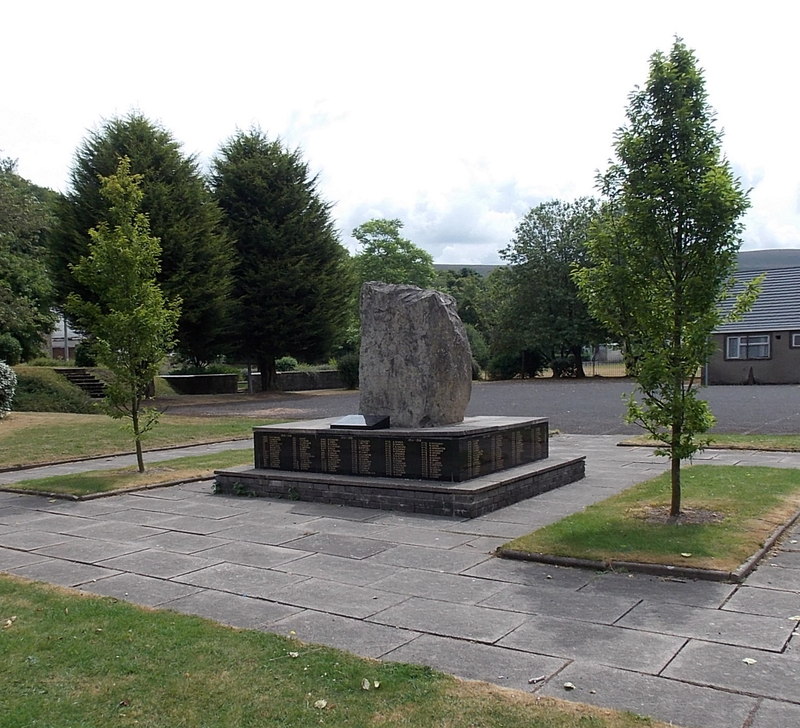
Library
Cafés
Gift shops
Post offices
Places of worship
Hotels
Frozen food shops
Pet shops
Variety stores
Pubs
Convenience stores
Car parts shops
Roads nearby
Pant View100 m
Heol Ap Gethin150 m
The Rise200 m
Park View200 m
The Walk250 m
The Crescent350 m
Parrot Row400 m
Surgery Road400 m
Clos Berea450 m
Caddick's Row450 m
Bethel Place450 m
Bryncelyn500 m
Queen StreetBethel Chapel
600 m
Gwaun Delyn Close600 m
Gwalia Terrace650 m
Gwent Terrace700 m
Verwey Road700 m
Carlin Road700 m
Hospital Road750 m
Brynheulog750 m
Farm Road800 m
Cae'r-Odyn800 m
Dale View800 m
Clos Yr Ysbyty850 m
Waengron850 m
Zephaniah Way900 m
Parry Jones Close900 m
Mostyn Thomas Close900 m
South Lands950 m
Shop Row950 m
Forge Lane950 m
Inkerman Row1000 m
Mount Pleasant1000 m
Edmunds Close1000 m
Heol Arthur Fear1000 m
High StreetBlaina Post Office, Blaina, Bush Inn, Blaina Library
1,0 km
Hope Street1,1 km
Chapel Road1,1 km
Station Road1,1 km
Railway Terrace1,1 km
Parsons Row1,1 km
Buildings nearby
The Cwtch700 m
Waungoch Cottages950 m
Fire stations nearby
Blaina Fire Station450 m
Industrial areas nearby
Rising Sun Industrial Estate650 m
Parks nearby
Central Park350 m
Places of worship nearby
Ebenezer Chapel1,0 km
Salem Chapel1,1 km
Supermarkets nearby
Co-op Food950 m
Public transport map Nantyglo and Blaina Legend
| Railway | |
| Bus | |
| Tram |
Cycling map Nantyglo and Blaina Legend
| Cycle path | |
| Cycle lane on road | |
| Cycling on bus lane | |
| Bicycle street | |
| Cyclists allowed | |
| Cyclists allowed, good surface | |
| No cycling | |
| Cobblestones |
| Long-distance cycle route | (depending on scale) | |
| Long-distance cycle route |
Walking map Nantyglo and Blaina Legend
| Path |
| Long-distance hiking trail | (depending on scale) | |
| Long-distance hiking trail | ||
| No pedestrians |