
Clos Berea in Nantyglo and Blaina
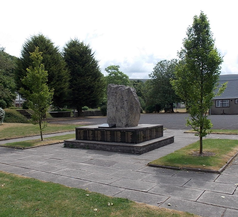
Clos Berea in Blaenau Gwent, Nantyglo and Blaina is an asphalted residential street. The road has sidewalks. It runs in a north-south direction.
- Road Type
- residential street
- Route
- north-south
Image
Library
Cafés
Gift shops
Post offices
Places of worship
Hotels
Frozen food shops
Pet shops
Variety stores
Pubs
Convenience stores
Car parts shops
Roads nearby
The Walk250 m
Parrot Row250 m
Park View300 m
Gwaun Delyn Close350 m
Heol Ap Gethin350 m
The Rise350 m
Queen StreetBethel Chapel
350 m
The Crescent400 m
Bethel Place400 m
Attlee Road450 m
Pant View500 m
Farm Road550 m
Dale View550 m
Surgery Road550 m
Caddick's Row600 m
Carlin Road650 m
Hospital Road650 m
Verwey Road700 m
Clos Yr Ysbyty700 m
Cae'r-Odyn750 m
Bryncelyn750 m
Parry Jones Close850 m
Zephaniah Way850 m
Shop Row850 m
Mount Pleasant850 m
Mostyn Thomas Close900 m
Inkerman Row900 m
Gwalia Terrace900 m
Gwent Terrace950 m
Brynheulog950 m
Forge Lane950 m
Edmunds Close950 m
Waengron950 m
Chapel Road1000 m
South Lands1,0 km
Parsons Row1,0 km
High StreetBlaina Post Office, Blaina, Bush Inn, Blaina Library
1,0 km
Railway Terrace1,0 km
Heol Arthur Fear1,0 km
Station Road1,1 km
Hope Street1,1 km
Buildings nearby
The Cwtch700 m
Waungoch Cottages1000 m
Fire stations nearby
Blaina Fire Station400 m
Industrial areas nearby
Rising Sun Industrial Estate350 m
Parks nearby
Central Park200 m
Places of worship nearby
Ebenezer Chapel950 m
Salem Chapel1,1 km
Supermarkets nearby
Co-op Food950 m
Public transport map Nantyglo and Blaina Legend
| Railway | |
| Bus | |
| Tram |
Cycling map Nantyglo and Blaina Legend
| Cycle path | |
| Cycle lane on road | |
| Cycling on bus lane | |
| Bicycle street | |
| Cyclists allowed | |
| Cyclists allowed, good surface | |
| No cycling | |
| Cobblestones |
| Long-distance cycle route | (depending on scale) | |
| Long-distance cycle route |
Walking map Nantyglo and Blaina Legend
| Path |
| Long-distance hiking trail | (depending on scale) | |
| Long-distance hiking trail | ||
| No pedestrians |