
Liswerry Drive in Llanyrafon
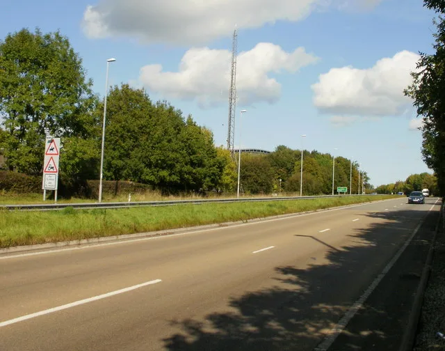
Liswerry Drive in Torfaen, Llanyrafon is a residential street (also known as Rhodfa Llysweri). It runs in a north-south direction starting from Llan-Yr-Avon Way and crosses Narberth Crescent, Pembroke Place, Dunraven Road, Hawarden Green, Liswerry Close, Rhodri Place, Kidwelly Road, Ceredig Court, St Donats Place, Ogmore Place and Penrice Green and ends at Llan-Yr-Avon Way. Liswerry Drive is also known as Rhodfa Llysweri.
- Alternative Name
- Rhodfa Llysweri
- Road Type
- residential street
- Route
- north-south
Image
Fast food restaurants
Pubs
Convenience stores
Post offices
Bus stops
Baby goods stores
Hairdressers
Beauty salons
Greengrocers
Dentist
Butcher's
Roads nearby
Stowe Path50 m
Nevern Walk100 m
Rhodri Place100 m
Liswerry Close100 m
Ceredig Court100 m
Goodrich Court150 m
St Donats Place150 m
Selby Close200 m
Ogmore Place200 m
Hawarden Green200 m
Dunraven Road200 m
Twm Barlwm View200 m
Tudor Woods200 m
Kidwelly Close200 m
Tretower Court200 m
Penrice Green250 m
Kidwelly Road250 m
St. Brides Close250 m
Rumney Walk250 m
Mill Lane250 m
West Bank250 m
Commodore LaneLlanyrafon
250 m
Narberth Crescent250 m
Pembroke Place300 m
Bath Green300 m
Beaumaris DriveSalon Rene, Tino’s Barbers, Sara Lisa Beauty
300 m
Llan-Yr-Avon WayLlanyravon Way, Kidwelly Road, Llanyrafon Methodist Church (o/s), Llanyrafon Methodist Church (after)
300 m
Dynevor Close300 m
Crown RiseThe Men's Room
350 m
Turnpike RoadLlanyravon Way, Discount Pram Centre
350 m
Caerleon RoadTwm Barlwm View, Crown Rise, Mitchell Close (N-bound), Mitchell Close (S-bound)
350 m
White Hall Lane350 m
Llangorse RoadThe Crows Nest
350 m
The Paddocks350 m
Paddock Rise400 m
Olway Close400 m
Tenby Close400 m
Old Hospital Drive450 m
Ludlow Close450 m
Gloucester Close450 m
The Pastures500 m
Wood Close550 m
South Close600 m
High Close600 m
Mitchell Close600 m
Farmyards nearby
Ysgubornewydd Farm650 m
Hospitals nearby
Main Building450 m
Parks nearby
Llanfrechfa Walled Garden500 m
Places of worship nearby
Llanyrafon Methodist Church450 m
 Public transport map Llanyrafon Legend
| Railway | |
| Bus | |
| Tram |
 Cycling map Llanyrafon Legend
| Cycle path | |
| Cycle lane on road | |
| Cycling on bus lane | |
| Bicycle street | |
| Cyclists allowed | |
| Cyclists allowed, good surface | |
| No cycling | |
| Cobblestones |
| Long-distance cycle route | (depending on scale) | |
| Long-distance cycle route |
 Walking map Llanyrafon Legend
| Path |
| Long-distance hiking trail | (depending on scale) | |
| Long-distance hiking trail | ||
| No pedestrians |