
Stowe Path in Llanyrafon
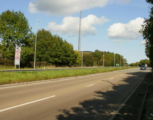
Stowe Path in Torfaen, Llanyrafon is a asphalted footpath.
- Road Type
- footpath
Image
Fast food restaurants
Greengrocers
Convenience stores
Post offices
Bus stops
Baby goods stores
Hairdresser's
Beauty salons
Pub
Dentist
Butcher's
Roads nearby
Liswerry Drive50 m
Nevern Walk100 m
Rhodri Place100 m
Liswerry Close150 m
Ceredig Court150 m
Selby Close150 m
Goodrich Court150 m
Twm Barlwm View150 m
St Donats Place150 m
Hawarden Green200 m
Ogmore Place200 m
Dunraven Road200 m
Tudor Woods200 m
West Bank250 m
Tretower Court250 m
Penrice Green250 m
Kidwelly Close250 m
Bath Green250 m
Kidwelly Road250 m
Commodore LaneLlanyrafon
250 m
Mill Lane300 m
St. Brides Close300 m
Rumney Walk300 m
Pembroke Place300 m
Narberth Crescent300 m
Crown RiseThe Men's Room
300 m
Beaumaris DriveSalon Rene, Tino’s Barbers, Sara Lisa Beauty
300 m
Llan-Yr-Avon WayLlanyravon Way, Kidwelly Road, Llanyrafon Methodist Church (o/s), Llanyrafon Methodist Church (after)
350 m
Dynevor Close350 m
Turnpike RoadLlanyravon Way, Discount Pram Centre
350 m
White Hall Lane350 m
Caerleon RoadTwm Barlwm View, Crown Rise, Mitchell Close (N-bound), Mitchell Close (S-bound)
350 m
The Paddocks350 m
Llangorse RoadThe Crows Nest
400 m
Paddock Rise400 m
Old Hospital Drive400 m
Olway Close400 m
Tenby Close450 m
Ludlow Close450 m
Gloucester Close500 m
The Pastures550 m
Wood Close550 m
South Close550 m
High Close600 m
Mitchell Close600 m
Farmyards nearby
Ysgubornewydd Farm650 m
Hospitals nearby
Main Building400 m
Parks nearby
Llanfrechfa Walled Garden500 m
Places of worship nearby
Llanyrafon Methodist Church500 m
 Public transport map Llanyrafon Legend
 | Railway | |
| Bus | |
| Tram |
 Cycling map Llanyrafon Legend
 | Cycle path | |
| Cycle lane on road | |
| Cycling on bus lane | |
| Bicycle street | |
| Cyclists allowed | |
| Cyclists allowed, good surface | |
| No cycling | |
| Cobblestones |
| Long-distance cycle route | (depending on scale) | |
| Long-distance cycle route |
 Walking map Llanyrafon Legend
 | Path |
| Long-distance hiking trail | (depending on scale) | |
| Long-distance hiking trail | ||
| No pedestrians |