
Llan-Yr-Avon Way in Llanyrafon
Llan-Yr-Avon Way in Torfaen, Llanyrafon is a residential street (also known as Ffordd Llan-yr-avon). It runs in a northeast-southwest direction starting from Turnpike Road and crosses Gloucester Close, Liswerry Drive, Caernarvon Crescent and Kidwelly Road and ends at Llanfrechfa Way. Llan-Yr-Avon Way is also known as Ffordd Llan-yr-avon. The nearest stops are Llanyravon Way, Kidwelly Road, Llanyrafon Methodist Church (o/s) and Llanyrafon Methodist Church (after).
- Alternative Name
- Ffordd Llan-yr-avon
- Road Type
- residential street
- Route
- northeast-southwest
Image
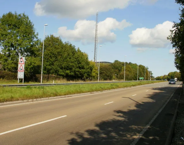
Bus stops
Roads nearby
Kidwelly Road100 m
Rumney Walk100 m
Dorstone Walk100 m
Narberth Crescent150 m
Kenfig Place150 m
Kidwelly Close150 m
Tenby Close150 m
Tretower Court150 m
Dunraven Road200 m
Goodrich Court200 m
Manorbier Drive200 m
Liswerry Close200 m
Roath Court250 m
Worcester Path250 m
Millers Ride250 m
Dynevor Close250 m
Nevern Walk250 m
Worcester Close300 m
Hensol Close300 m
St. Brides Close300 m
Miskin Green300 m
Liswerry Drive300 m
The Pastures300 m
Riversmead300 m
Caernarvon Crescent300 m
Stowe Path350 m
Ceredig Court350 m
Rhodri Place350 m
St Donats Place350 m
Grey Waters350 m
Ogmore Place350 m
Penrice Green350 m
Beaumaris DriveSalon Rene, Tino’s Barbers, Sara Lisa Beauty
400 m
Mill Lane400 m
Tudor Woods400 m
Llan-yr-avon SquareMRS Supermarket, Lakeside Fish Bar, Llanyravon Post Office, Cwmbran Fresh Produce, Douglas Willis, Panini’s Sandwich Bar, Llanyravon Dental Practice
450 m
Commodore LaneLlanyrafon
450 m
Llangorse RoadThe Crows Nest
500 m
Olway Close550 m
Llanfrechfa WayEnterprise, Energy World, Sharkbire Burgers
550 m
The Paddocks550 m
Paddock Rise600 m
Ludlow Close650 m
Buildings nearby
Llanyrafon Community Centre450 m
Museum nearby
Llanyrafon Manor450 m
Parks nearby
Llanyrafon Manor Rural Heritage Centre650 m
Places of worship nearby
Llanyrafon Methodist Church300 m
Rivers nearby
Afon Lwyd550 m
Shopping malls nearby
Llanyravon Shopping Centre400 m
 Public transport map Llanyrafon Legend
| Railway | |
| Bus | |
| Tram |
 Cycling map Llanyrafon Legend
| Cycle path | |
| Cycle lane on road | |
| Cycling on bus lane | |
| Bicycle street | |
| Cyclists allowed | |
| Cyclists allowed, good surface | |
| No cycling | |
| Cobblestones |
| Long-distance cycle route | (depending on scale) | |
| Long-distance cycle route |
 Walking map Llanyrafon Legend
| Path |
| Long-distance hiking trail | (depending on scale) | |
| Long-distance hiking trail | ||
| No pedestrians |