
Gerald Street in Rhosddu
Gerald Street in Wrexham, Rhosddu is a residential street. It runs in a southeast-northwest direction and crosses Grosvenor Gardens and Vernon Street and ends at Grosvenor Road, while the other end is a cul-de-sac. Gerald Street also exists in Swansea and Neath Port Talbot.
- Road Type
- residential street
- Speed Limit
- 20 mph
- Route
- southeast-northwest
Image
Restaurants
Bar
Dentist
Tattoo studios
Beauty salons
Butcher's
Bus stops
Fast food restaurants
Hairdressers
Convenience stores
Delicatessens
Supermarkets
Taxi ranks
Roads nearby
Caxton PlacePepe's
150 m
Grosvenor Gardens150 m
Grosvenor RoadBupa Dental Care
200 m
Union Road250 m
Station ApproachStation Taxis
250 m
Vernon Street250 m
Garden Road300 m
Night PathWrexham General
300 m
Regent StreetWrexham General, Wrexham South Junction, ATS Wrexham, Papa John's
400 m
Jacques Way400 m
George Street400 m
Spring Gardens400 m
Rhosddu RoadCaffè Nero, Cash Converters, NatWest
450 m
Crispin LaneWrexham Exchange Junction, Wrexham General
550 m
St James Court550 m
Shellbark Close600 m
Mayville Avenue600 m
Arts centres nearby
Catrin Finch Centre600 m
Buildings nearby
Jobcentre Plus100 m
Grosvenor Lodge150 m
Regent House150 m
Girlguiding200 m
Principal's House, Wrexham University250 m
Hadlow Edwards Wealth Management Ltd300 m
Churches nearby
St Mary's Cathedral Hall250 m
Community centres nearby
Wrexham District Scouts200 m
Constructions nearby
Wrexham Gateway Development400 m
The Kop Construction450 m
Fast food restaurants nearby
McDonald's300 m
Fitness centres nearby
Total Fitness500 m
Furniture shops nearby
Dunelm250 m
Grandstands nearby
Kop Temporary Stand450 m
Wrexham Lager Stand500 m
Hotels nearby
Premier Inn - Wrexham Town Centre350 m
Off-licences nearby
Majestic300 m
Opticians nearby
Jane Smellie Opticians200 m
Places of worship nearby
Salvation Army300 m
Saint James500 m
Platforms nearby
Wrexham platform 1300 m
Wrexham platform 2300 m
Platform 3350 m
Platform 4350 m
Post depots nearby
Royal Mail200 m
Railway stations nearby
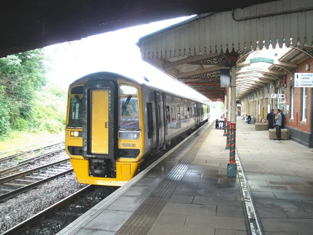
Wrexham General Railway Station300 m
Retail buildings nearby
Ableworld250 m
Roof structures nearby
Wrexham General Railway Station Building300 m
Social facilities nearby
Maes y Dderwen100 m
Stadiums nearby
Racecourse Ground450 m
Supermarkets nearby
Spar400 m
 Public transport map Rhosddu Legend
| Railway | |
| Bus | |
| Tram |
 Cycling map Rhosddu Legend
| Cycle path | |
| Cycle lane on road | |
| Cycling on bus lane | |
| Bicycle street | |
| Cyclists allowed | |
| Cyclists allowed, good surface | |
| No cycling | |
| Cobblestones |
| Long-distance cycle route | (depending on scale) | |
| Long-distance cycle route |
 Walking map Rhosddu Legend
| Path |
| Long-distance hiking trail | (depending on scale) | |
| Long-distance hiking trail | ||
| No pedestrians |