
Rhosddu Road
Rhosddu Road in Wrexham, Rhosddu is a secondary road. It runs in a southeast-northwest direction starting from Stansty Road and crosses New Road, Walnut Street, Mayville Avenue, Park Street, St James Court, Greenfield, Spring Road, George Street, Cunliffe Street, Garden Road and Lorne Street. This road is part of the hiking trail "Llwybr Clawdd Wat". In the vicinity, you can find a café, a pawnbroker and a bank. The nearest stop in the vicinity is Wrexham General (approx. 400 m away).
- Road Type
- secondary road
- Speed Limit
- 20 mph
- Route
- southeast-northwest
Image
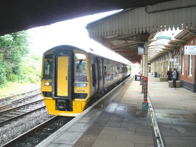
Roads nearby
George Street100 m
St James Court150 m
Mayville Avenue200 m
Garden Road200 m
Shellbark Close250 m
Spring Gardens250 m
Vernon Street250 m
Crispin LaneWrexham Exchange Junction, Wrexham General
300 m
Grosvenor Gardens450 m
Night PathWrexham General
450 m
Gerald Street450 m
Regent StreetWrexham General, Wrexham South Junction, ATS Wrexham, Papa John's
500 m
Station ApproachStation Taxis
550 m
Caxton PlacePepe's
550 m
Jacques Way600 m
Union Road600 m
Grosvenor RoadBupa Dental Care
600 m
Arts centres nearby
Catrin Finch Centre350 m
Buildings nearby
Jobcentre Plus450 m
Girlguiding500 m
Grosvenor Lodge600 m
Regent House600 m
Principal's House, Wrexham University650 m
Hadlow Edwards Wealth Management Ltd700 m
Churches nearby
St Mary's Cathedral Hall650 m
Community centres nearby
Wrexham District Scouts500 m
Constructions nearby
The Kop Construction400 m
Wrexham Gateway Development450 m
Fast food restaurants nearby
McDonald's650 m
Fitness centres nearby
Total Fitness200 m
Furniture shops nearby
Dunelm600 m
Grandstands nearby
Kop Temporary Stand400 m
Wrexham Lager Stand450 m
Hotels nearby
Premier Inn - Wrexham Town Centre650 m
Off-licences nearby
Majestic550 m
Opticians nearby
Jane Smellie Opticians600 m
Places of worship nearby
Saint James50 m
Salvation Army200 m
Platforms nearby
Platform 4450 m
Wrexham platform 2450 m
Platform 3450 m
Wrexham platform 1500 m
Post depots nearby
Royal Mail550 m
Railway stations nearby
Wrexham General Railway Station500 m
Retail buildings nearby
Ableworld600 m
Roof structures nearby
Wrexham General Railway Station Building450 m
Social facilities nearby
Maes y Dderwen550 m
Stadiums nearby
Racecourse Ground500 m
Supermarkets nearby
Spar100 m
 Public transport map Rhosddu Legend
| Railway | |
| Bus | |
| Tram |
 Cycling map Rhosddu Legend
| Cycle path | |
| Cycle lane on road | |
| Cycling on bus lane | |
| Bicycle street | |
| Cyclists allowed | |
| Cyclists allowed, good surface | |
| No cycling | |
| Cobblestones |
| Long-distance cycle route | (depending on scale) | |
| Long-distance cycle route |
 Walking map Rhosddu Legend
| Path |
| Long-distance hiking trail | (depending on scale) | |
| Long-distance hiking trail | ||
| No pedestrians |