
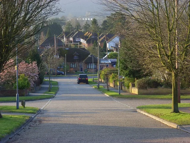
Barnhill Close in Marlow, Buckinghamshire
Barnhill Close in Buckinghamshire, Marlow is a residential street.
- Road Type
- residential street
Image
Post offices
Fast food restaurants
Veterinary clinic
Bus stops
Kindergarten
Dentist
Pharmacy
Tourist information
Bicycle parkings
Jeweller's
Convenience stores
Funeral directors
Café
Guest house
Tyre shops
Furniture shops
Vending machines
Roads nearby
Barnhill Road50 m
Barnhill Gardens150 m
Sunnybank200 m
Coach Ride200 m
Oak Tree RoadLondis
200 m
Seymour Park Road300 m
Oak Tree Close300 m
Woodland Close300 m
Pinecroft350 m
Hillside Road350 m
Seymour Plain350 m
Sandygate Road400 m
Laburnum Close400 m
Caroline Court400 m
Sandygate Close450 m
Hawthorn Close450 m
Woodland Way450 m
Oak Tree Avenue450 m
Southview RoadOaktree Post Office
500 m
The Orchard500 m
Kennedy Close600 m
Ridgeway Close600 m
Spring Gardens650 m
Elizabeth Road650 m
Maple Rise650 m
Wycombe Road650 m
Green Verges650 m
The Ridgeway700 m
Gypsy Lane700 m
Edinburgh Road750 m
Redshots Close750 m
Little Marlow RoadBobmore Lane, Costa Express, Starbucks, Arnold Funeral Service, Hall Place Vetinary Practice, Bakery 79
750 m
 Public transport map Marlow Legend
 | Railway | |
| Bus | |
| Tram |
 Cycling map Marlow Legend
 | Cycle path | |
| Cycle lane on road | |
| Cycling on bus lane | |
| Bicycle street | |
| Cyclists allowed | |
| Cyclists allowed, good surface | |
| No cycling | |
| Cobblestones |
| Long-distance cycle route | (depending on scale) | |
| Long-distance cycle route |
 Walking map Marlow Legend
 | Path |
| Long-distance hiking trail | (depending on scale) | |
| Long-distance hiking trail | ||
| No pedestrians |