
Haddon Close in Alderley Edge
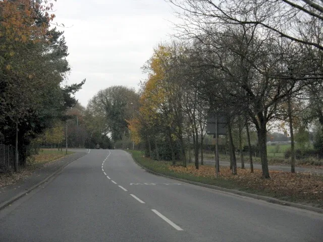
Haddon Close in Cheshire East, Alderley Edge is a residential street. It runs in a southeast-northwest direction and crosses Sutton Road. It ends in a cul-de-sac. Haddon Close also exists in Holmes Chapel and Rope.
- Road Type
- residential street
- Route
- southeast-northwest
Image
Dentist
Car repair shops
Post offices
Kitchen showrooms
Convenience stores
Bus stops
Stations
Cafés
Restaurants
Delicatessens
Fast food restaurants
Wine shops
Hairdressers
Roads nearby
Sutton Road150 m
Eaton Drive250 m
Ryleys Lane250 m
Meadscroft Drive250 m
Meadow Brow300 m
Windermere Drive300 m
Wilton Crescent350 m
Thirlmere Close350 m
Grasmere Road350 m
Aldford Place400 m
Chorley Hall Close400 m
Church LaneAlderley Edge, Church Lane / Alderley Edge Primary
400 m
Redesmere Drive450 m
Chelford RoadChorley, Chelford Road / Cemetery Lodge
450 m
Blackshaw Lane500 m
Wilmslow RoadAlderley Edge, Piccolino, Medispa Cheshire, Alderley Edge, Wilmslow Road / Tower Garage, Harden Park, Wilmslow Road / Harden Park
550 m
Green Lane550 m
Davey LaneHighams, Yu, Aldeli
550 m
Hurst Lea CourtAlderley Edge, Brook Lane / Woodleigh Court
550 m
Kensington Gardens550 m
Greenlands Walk550 m
West StreetCedric's Health & Beauty, Alderley Edge Post Office, Alderley Dental, Beauty Works, Real Food Alderley Edge
600 m
Green Street600 m
Downesway600 m
South StreetThe Yard, Laithwaites
600 m
Brown StreetJersey St, Tom Howley, Caffè Nero, Fiorucci Hair, Village Cafe
600 m
Arderne Place650 m
Orme Street650 m
Meddings Close650 m
Massey Street650 m
South Grove650 m
Thurston Green700 m
Chorley Hall LaneMurphy's Barber Shop, Fosters Fish & Chips
700 m
Allotment gardens nearby
Chorley Hall Lane Allotments550 m
Apartment buildings nearby
Carpenters Court600 m
Royles Square600 m
Beresford Court600 m
Wolverton House650 m
Hubert Worthington House650 m
Buildings nearby
Tower Garage550 m
Houses nearby
Old Chorley Hall450 m
Parks nearby
Alderley Edge Park450 m
Places of worship nearby
St. Philip's Church450 m
Railway lines nearby
Crewe to Manchester Line550 m
Railway stations nearby
Alderley Edge550 m
Recreation grounds nearby
Alderley Edge School for Girls Netball and Tennis Courts400 m
Chorley Hall Lane Playing Field550 m
Sports shops nearby
Running Bear600 m
Supermarkets nearby
Waitrose550 m
 Public transport map Alderley Edge Legend
| Railway | |
| Bus | |
| Tram |
 Cycling map Alderley Edge Legend
| Cycle path | |
| Cycle lane on road | |
| Cycling on bus lane | |
| Bicycle street | |
| Cyclists allowed | |
| Cyclists allowed, good surface | |
| No cycling | |
| Cobblestones |
| Long-distance cycle route | (depending on scale) | |
| Long-distance cycle route |
 Walking map Alderley Edge Legend
| Path |
| Long-distance hiking trail | (depending on scale) | |
| Long-distance hiking trail | ||
| No pedestrians |