
Dewey Road in London Borough of Barking and Dagenham
Dewey Road in London Borough of Barking and Dagenham is an asphalted, lit residential street. The road has sidewalks. There is no cycle path. It runs in a west direction starting from Rainham Road South and crosses Kitchener Road. It ends in a cul-de-sac. In the vicinity, there is a post office. The nearest stop in the vicinity is Dagenham East (approx. 150 m away).
- Road Type
- residential street
- Postal Code
- RM10
- Route
- east-west
Image
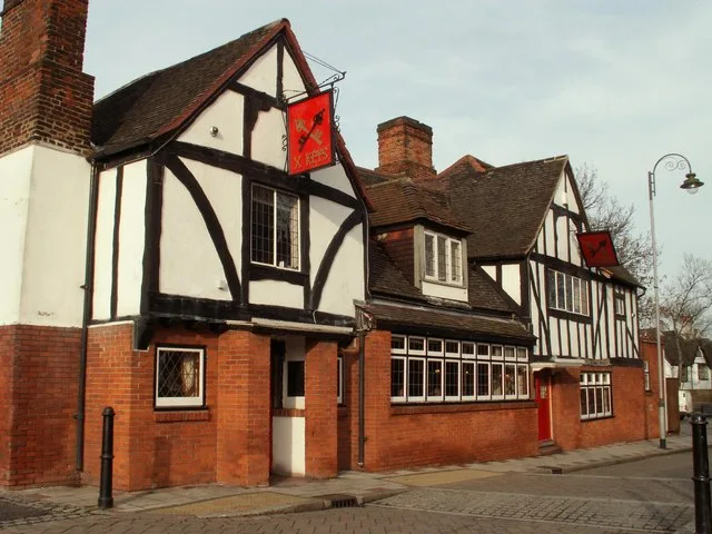
Post offices
Roads nearby
York CloseDagenham East
150 m
Sandown Court200 m
Beadles Parade200 m
Shafter Road200 m
Mayswood Gardens300 m
Rainham Road SouthBallards Road, Leys Avenue, Oxlow Lane, Aldborough Road, Rainham Road South / Dagenham Road, Dagenham East Station, Reede Road, Victoria Road, Hand Car Wash and Valeting Centre, Sandown Avenue, Dagenham East
400 m
Durham Road450 m
Yewtree Avenue500 m
Foxlands Crescent650 m
Beauty salons nearby
The Nail Shop500 m
Bookmakers nearby
Coral200 m
Ladbrokes450 m
Buildings nearby
Specialist Pharmacy650 m
Cafés nearby
Gunay's Cafe250 m
Costa550 m
Charity shops nearby
Step Up500 m
Colleges nearby
Brook Sixth Form & Academy600 m
Community centres nearby
Bereavement Centre250 m
Convenience stores nearby
Londis150 m
Dagenham Convenience Store200 m
Tesco Express200 m
Teenas Food Store250 m
Vida & Sons Shop500 m
Mayfair Convenience Stores500 m
Bims Food Emporium500 m
Dry cleaner's nearby
Leyla Dry Cleaners450 m
Electronics shops nearby
Appliances Shop UK Ltd250 m
Fast food restaurants nearby
Beadles Parade Fish & Chips250 m
Favorite 'N' Tasty250 m
Ali's Kitchen400 m
Florist's nearby
Bespoke Flowers250 m
Funeral directors nearby
West & Coe Funeral Home250 m
Hairdresser's nearby
Kellys Barbers200 m
Shapes450 m
Hotels nearby
Travelodge450 m
Laundries nearby
HotPants200 m
Off-licences nearby
Dagenham East Wines200 m
Bottle Stop450 m
Pharmacies nearby
Day Lewis Pharmacy200 m
Places of worship nearby
Madina Foundation Dagenham East Islamic Centre400 m
Police stations nearby
Dagenham Police Station350 m
Pubs nearby
Pipe Major450 m
Railway stations nearby
Dagenham East station300 m
Restaurants nearby
Eden Peri Peri Dagenham450 m
Retail buildings nearby
Albany200 m
Dicvic Associates250 m
Local Staff Hire500 m
I&T Ventures500 m
Specialist shops nearby
Jewson200 m
Taxi ranks nearby
Gemini Cars450 m
Public transport map London Borough of Barking and Dagenham Legend
| Railway | |
| Bus | |
| Tram |
Cycling map London Borough of Barking and Dagenham Legend
| Cycle path | |
| Cycle lane on road | |
| Cycling on bus lane | |
| Bicycle street | |
| Cyclists allowed | |
| Cyclists allowed, good surface | |
| No cycling | |
| Cobblestones |
| Long-distance cycle route | (depending on scale) | |
| Long-distance cycle route |
Walking map London Borough of Barking and Dagenham Legend
| Path |
| Long-distance hiking trail | (depending on scale) | |
| Long-distance hiking trail | ||
| No pedestrians |