
Reede Road in London Borough of Barking and Dagenham
Reede Road in London Borough of Barking and Dagenham is an asphalted, lit tertiary road. The road has sidewalks. It runs in a east direction starting from Parsloes Avenue and crosses Heathway, Lilibet Close, Sterry Road, Rogers Road, Standfield Road, Hunters Hall Road, Reede Way, St Marks Place, Pondfield Road, Kent Road, Cambeys Road and Norfolk Road and ends at Rainham Road South. This road is part of 2 bicycle routes. The nearest stop is Hail & Ride Sterry Road. The bus line 364 stops here.
- Road Type
- tertiary road
- Route
- east-west
Image
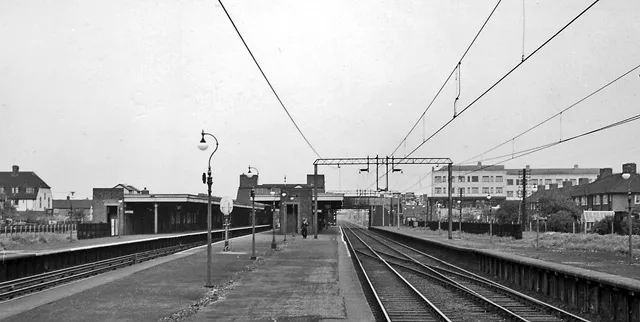
Bus stops
- bus lines 364
Roads nearby
Parsloes AvenueThe Sydney Russell School, Singleton Road, Heathway, Barnmead Road, Fanshawe Crescent, Cornwallis Road
50 m
Vineries Close100 m
Ivyhouse RoadDagenham Heathway
150 m
Spurling Road200 m
Pettits Place250 m
Kingsmill Gardens300 m
Tilney RoadDagenham Heathway
350 m
Singleton Road350 m
Shortcrofts Road350 m
Kingsmill Road350 m
Talbot Road400 m
Barnmead Road450 m
Barnmead Gardens450 m
Meadow Road450 m
Harris Road500 m
Meadow Walk500 m
Ayloffe Road500 m
Fanshawe Crescent550 m
Halbutt Street550 m
Monmouth Road600 m
Osborne Road600 m
Shops nearby
Magowurosere Foods150 m
Bakeries nearby
Angels Bakery150 m
Banks nearby
Nationwide100 m
Beauty salons nearby
Diamond Hair Nails and Beauty50 m
Luxury Nails100 m
Bed shops nearby
Heathway Beds & Furniture50 m
Buildings nearby
Haart50 m
Ramsey Moore50 m
Steps Estate agent50 m
Towis Solicitors100 m
Balgores100 m
Stoneshaw150 m
Charity shops nearby
Sue Ryder100 m
Fast food restaurants nearby
Dixie Chicken50 m
Red Rooster100 m
Papa John's100 m
Greengrocers nearby
Variety Fruit and Veg50 m
Jawoo Foods150 m
Hairdresser's nearby
The Stylists Room100 m
Classic Hair150 m
Jeweller's nearby
Simply Gold50 m
Mobile phone shops nearby
Teem Communications150 m
Pawnbrokers nearby
H&T Pawnbrokers100 m
Cash Converters100 m
Pharmacies nearby
Waller Pharmacy150 m
Places of worship nearby
Bethel London Riverside Full Gospel Church500 m
Restaurants nearby
Royal Bengal100 m
Squires100 m
Subway stops nearby
2200 m
Public transport map London Borough of Barking and Dagenham Legend
| Railway | |
| Bus | |
| Tram |
Cycling map London Borough of Barking and Dagenham Legend
| Cycle path | |
| Cycle lane on road | |
| Cycling on bus lane | |
| Bicycle street | |
| Cyclists allowed | |
| Cyclists allowed, good surface | |
| No cycling | |
| Cobblestones |
| Long-distance cycle route | (depending on scale) | |
| Long-distance cycle route |
Walking map London Borough of Barking and Dagenham Legend
| Path |
| Long-distance hiking trail | (depending on scale) | |
| Long-distance hiking trail | ||
| No pedestrians |