
Brent Road in London Borough of Ealing
Brent Road in London Borough of Ealing is a two-lane, asphalted, unlit minor road. It runs in a southeast-northwest direction and crosses Rubastic Road, Scotts Road, Marlborough Road, Derley Road, Trident Way, Tilney Road and Western Road. Brent Road also exists in London Borough of Hounslow, Royal Borough of Greenwich and London Borough of Croydon.
- Road Type
- residential street
- Lanes
- 2
- Speed Limit
- 20 mph
- Route
- southeast-northwest
Image
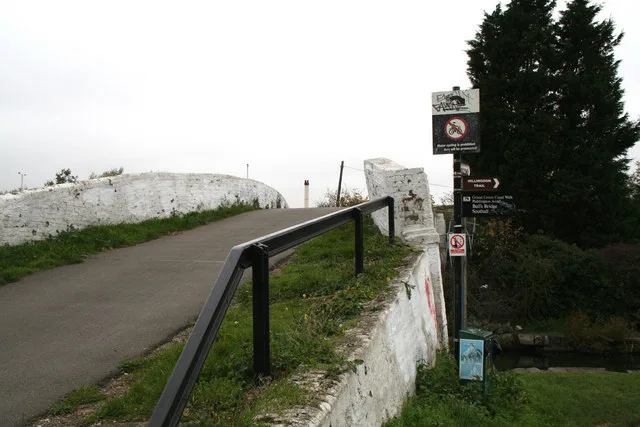
Pubs
Bookmakers
Variety stores
Car repair shops
Bus stops
Restaurants
Convenience stores
Supermarkets
Charging stations
Cafés
Roads nearby
Trident Way50 m
Tilney Road200 m
Bulls Bridge RoadThe Grand Restaurant, Bull's Bridge, Bulls Bridge Water Point
250 m
Boeing Way250 m
Western RoadWentworth Road
250 m
Southall LaneNavigator Park, Heston Centre, Cranford Parkway
250 m
Wentworth Road300 m
Marlborough Road300 m
Rubastic Road300 m
Hayes RoadHayes Road / Tesco, Subway, Bulls Bridge Tesco
300 m
Derley Road300 m
Hansa Close350 m
Resham Close350 m
Savera Close400 m
Scotts RoadThe Scotsman
400 m
Gateway Court450 m
Old Manor Road450 m
Caxton Road450 m
Manor Way500 m
Greenland Crescent550 m
Johnson Street550 m
The CommonOld Oak Tree, Hail & Ride Grange Road, Hail & Ride The Grove
600 m
Leamington Road600 m
Lonsdale Road600 m
Tachbrook Road600 m
Seva DriveHouse of A.E.I.O.U, Parkside Yards Cafe
600 m
Priory WayPriory Way Southall
600 m
Leonard Road650 m
Balfour RoadBuzzy Barbers, Northfields Pharmacy, IQ Motors, Reflection Hair and Beauty, Believ
700 m
Spencer Street700 m
Allotment gardens nearby
Manor Way allotments350 m
Western Road allotments550 m
Community centres nearby
Asamai Cultural Trust550 m
Namdhari Community Centre650 m
Industrial areas nearby
International Trading Estate50 m
Navigator Park300 m
Beaver Industrial Estate350 m
Industrial buildings nearby
Delice de France250 m
Office buildings nearby
New Bharat Coach Station650 m
Places of worship nearby
Shri Guru Ravi Dass Sabha Southall350 m
Railway lines nearby
Great Western Main Line650 m
Warehouses nearby
Bestway150 m
St Mark Freight Services Ltd300 m
Nila350 m
Woods Food Service Ltd350 m
Global Cash and Carry350 m
Olleco350 m
Himalaya Self Storage550 m
Wholesale shops nearby
Costco400 m
Public transport map London Borough of Ealing Legend
| Railway | |
| Bus | |
| Tram |
Cycling map London Borough of Ealing Legend
| Cycle path | |
| Cycle lane on road | |
| Cycling on bus lane | |
| Bicycle street | |
| Cyclists allowed | |
| Cyclists allowed, good surface | |
| No cycling | |
| Cobblestones |
| Long-distance cycle route | (depending on scale) | |
| Long-distance cycle route |
Walking map London Borough of Ealing Legend
| Path |
| Long-distance hiking trail | (depending on scale) | |
| Long-distance hiking trail | ||
| No pedestrians |