
Boeing Way in London Borough of Ealing
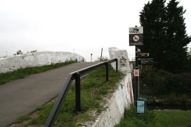
Boeing Way in London Borough of Ealing is a minor road and runs in a southeast-northwest direction and ends at Trident Way, while the other end is a cul-de-sac.
- Road Type
- minor road
- Route
- southeast-northwest
Image
Pubs
Bookmakers
Cafés
Car repair shops
Bus stops
Restaurants
Convenience stores
Supermarkets
Charging stations
Variety stores
Roads nearby
Trident Way200 m
Hayes RoadHayes Road / Tesco, Subway, Bulls Bridge Tesco
250 m
Rubastic Road250 m
Brent Road250 m
Christopher Road250 m
Southall LaneNavigator Park, Heston Centre, Cranford Parkway
300 m
Tilney Road350 m
Western RoadWentworth Road
400 m
Bulls Bridge RoadThe Grand Restaurant, Bull's Bridge, Bulls Bridge Water Point
450 m
Wentworth Road450 m
The Parkway450 m
Marlborough Road500 m
Hansa Close500 m
Savera Close550 m
North Hyde Road600 m
Pump Lane600 m
Seva DriveHouse of A.E.I.O.U, Parkside Yards Cafe
600 m
North Hyde Gardens650 m
Nestle's AvenueSpaceships Campervan Rentals, Access Self Storage, Family Tanks
700 m
Watersplash Lane700 m
Bilton Way750 m
Canals nearby
Grand Union Canal (Paddington Branch)300 m
Grand Union Canal350 m
Car dealerships nearby
Volvo Truck and Bus350 m
Commercial areas nearby
Segro Park Hayes650 m
Convenience stores nearby
Londis300 m
Docks nearby
Bulls Bridge Wet & Dry Docks150 m
Industrial areas nearby
International Trading Estate250 m
Brent Park Estate400 m
FM Conway450 m
Navigator Park450 m
Beaver Industrial Estate500 m
New Western International Market650 m
Tarmac Hayes700 m
Industrial buildings nearby
Delice de France200 m
Parks nearby
Cranford Country Park700 m
Railway lines nearby
Great Western main line500 m
Rivers nearby
River Crane500 m
Streams nearby
Yeading Brook500 m
Supermarkets nearby
Lidl200 m
Tesco Extra350 m
Warehouses nearby
Bestway150 m
St Mark Freight Services Ltd350 m
Olleco400 m
Woods Food Service Ltd450 m
Global Cash and Carry450 m
Nila450 m
Wholesale shops nearby
Costco350 m
Other nearby
North Hyde Substation700 m
 Public transport map London Borough of Ealing Legend
| Railway | |
| Bus | |
| Tram |
 Cycling map London Borough of Ealing Legend
| Cycle path | |
| Cycle lane on road | |
| Cycling on bus lane | |
| Bicycle street | |
| Cyclists allowed | |
| Cyclists allowed, good surface | |
| No cycling | |
| Cobblestones |
| Long-distance cycle route | (depending on scale) | |
| Long-distance cycle route |
 Walking map London Borough of Ealing Legend
| Path |
| Long-distance hiking trail | (depending on scale) | |
| Long-distance hiking trail | ||
| No pedestrians |