
Launceston Gardens in London Borough of Ealing
Launceston Gardens in London Borough of Ealing is a residential street and runs in a north-south direction starting from Empire Road and ends at Jordan Road.
- Road Type
- residential street
- Speed Limit
- 20 mph
- Route
- north-south
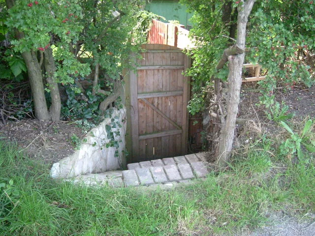
Image
Cafés
Doctor's office
Tourist information offices
Bus stops
Roads nearby
Empire Road100 m
Lynmouth Gardens100 m
Torrington Gardens100 m
Grand Union Canal (Paddington Arm) towpathBallot Box Bridge
150 m
Jordan Road200 m
Lee Road250 m
Launceston Road250 m
Torrington Road300 m
Lynmouth Road350 m
Woodrow Close350 m
Devon Close400 m
George V Way400 m
Bilton RoadHillview Surgery, Aintree Road, Brooklands Drive, Jubilee Road, Lee Road, Perivale Community Centre, Bilton Road Post Office, The Lunch Box
450 m
Atherton Heights500 m
Whitton Avenue EastSudbury Town Station, Allendale Road, Rosewood Avenue, Sudbury Golf Club, Whitton Drive, Ridding Lane, Poland Medical, Greenford Road
500 m
Clifford Road500 m
Sunnydene Gardens500 m
Bridgewater Court550 m
Federal Road550 m
Bridgewater RoadClifford Road, Alperton Station, Alexander Cromwell College, Simply Beds, Colyton Close
550 m
Fraser Road600 m
Brindley Close600 m
Burnside Crescent600 m
Whitton Close650 m
Farm Avenue650 m
Queen Victoria Avenue650 m
Orchard GateSudbury Town
700 m
Ashness Gardens700 m
Stapleford Road700 m
Wellgarth700 m
CrossgateWaiting Room
750 m
Chaplin RoadWembley Hospital, Ealing Road, Swinderby Road, Farm Avenue, Fernwood Avenue, Barham Park
750 m
Holland Road750 m
Bassingham Road750 m
Fernwood Avenue750 m
Barham Close750 m
Manor Farm RoadManor Farm Road
750 m
Danethorpe Road800 m
Allotment gardens nearby
Jubilee Road allotments450 m
Clifford Road Allotments550 m
Buildings nearby
Chapel400 m
Sudbury Golf Club500 m
Office500 m
Cemeteries nearby
Alperton Cemetery350 m
Industrial areas nearby
Phoenix Trading Estate700 m
Parks nearby
One Tree Hill Open Space700 m
Subway lines nearby
Piccadilly Line (Uxbridge Branch)600 m
Warehouses nearby
Vanguard Filebank Ltd600 m
Woodlands nearby
Horsenden Farm Wood450 m
Public transport map London Borough of Ealing Legend
| Railway | |
| Bus | |
| Tram |
Cycling map London Borough of Ealing Legend
| Cycle path | |
| Cycle lane on road | |
| Cycling on bus lane | |
| Bicycle street | |
| Cyclists allowed | |
| Cyclists allowed, good surface | |
| No cycling | |
| Cobblestones |
| Long-distance cycle route | (depending on scale) | |
| Long-distance cycle route |
Walking map London Borough of Ealing Legend
| Path |
| Long-distance hiking trail | (depending on scale) | |
| Long-distance hiking trail | ||
| No pedestrians |