
Autumn Way in London Borough of Hillingdon
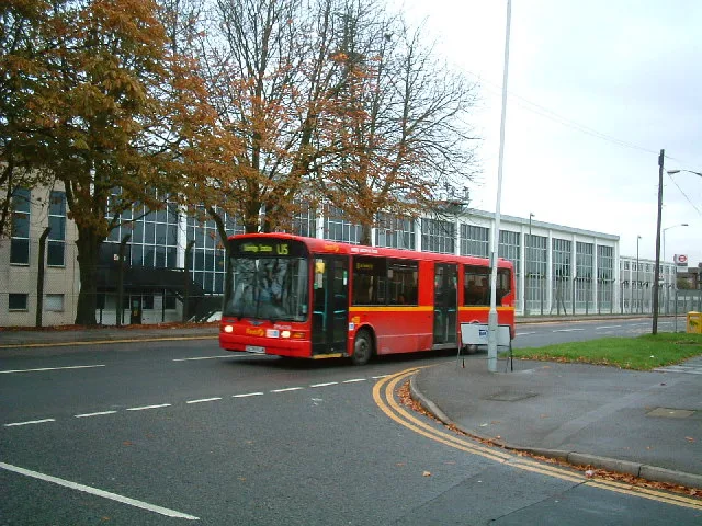
Autumn Way in London Borough of Hillingdon is a residential street. It runs in an east-west direction and crosses Pennyroyal Drive and Summer Drive. It is a footpath between Pennyroyal Drive and Summer Drive and not passable by car. Autumn Way also exists in Liverpool City Region and East Midlands.
- Road Type
- residential street
- Route
- east-west
Image
Car repair shops
Pharmacy
Touristeninformationen
Artwork
Specialist shops
Bus stops
Curtain shops
Convenience stores
Charging stations
DIY stores
Roads nearby
Summer Drive100 m
Rutters Close100 m
Evergreen Drive100 m
Mulberry Crescent200 m
Kebony Close200 m
Jasmine Terrace300 m
Mulberry ParadeMulberry Parade, NHS Pharmacy
300 m
Iron Bridge Road SouthSmart Cells International Ltd
350 m
Briar WayStockley
350 m
Eastwood Road350 m
Archie Close350 m
Mullberry CrescentMulberry Parade
350 m
Lavender RiseLavender Rise / Stockley Road
400 m
Clayfield Way400 m
Weston WalkBeards Blinds & Awnings, Z & U Online Ltd
400 m
Iron Bridge Road NorthArtorius
400 m
Horton CloseNew Pro Foundries Ltd, Fir Tree Autocentre, Murray Productions Ltd, AndyTruc Ltd, Pierce Engineering Services Ltd, Pro-Autocraft, ACS Autowerks Ltd, EPC Enterprises LLP, EPS Worldwide Serices Ltd
450 m
Emden Close500 m
Starveall Bridge600 m
Old Stockley Road600 m
Y3600 m
Horton RoadIron Bridge Road, Stone Close, London-Heathrow Supercharger, Toolstation, Screwfix, arco, HSS Hire, Liddall Way companies, CEF, Albert Road, Roberts Close, Whitethorn Avenue, DK Tools amtech, A1 Cooked Meats, Zinda Foods Ltd, Panache, Hydrodragon, Horton Close, Lash Amore, Yiewsley Health Centre, Estellia Aesthetic, Reys Barbers
650 m
Buildings nearby
Y&S Marble Ltd200 m
Elite Coaters200 m
Welding Mobility200 m
Trout Tool Co. Ltd250 m
Metal Shapes & Pressings Ltd250 m
Virtus London8300 m
Heathrow Coachworks300 m
Automatic Motors Ltd350 m
Virtus London5450 m
DC5500 m
Virtus London7500 m
Space Station Self Storage500 m
Virtus London6600 m
Canals nearby
Grand Union Canal300 m
Car dealerships nearby
Tesla450 m
Car repair shops nearby
Gardiner Bros Ltd200 m
Robbings Motors250 m
Commercial areas nearby
Horton Industrial Park400 m
Stockley Farm450 m
Beach's Yard550 m
Addison Lee650 m
Industrial areas nearby
Chancerygate Industrial Centre300 m
Kindergartens nearby
Busy Bees Nursery450 m
Military areas nearby
RAF 1381 Squadron Air Cadets (West Drayton & Yiewsley)100 m
Transport buildings nearby
Cruise Minibuses250 m
Warehouses nearby
Innovation Stockley550 m
TVS SCS rico550 m
Public transport map London Borough of Hillingdon Legend
| Railway | |
| Bus | |
| Tram |
Cycling map London Borough of Hillingdon Legend
| Cycle path | |
| Cycle lane on road | |
| Cycling on bus lane | |
| Bicycle street | |
| Cyclists allowed | |
| Cyclists allowed, good surface | |
| No cycling | |
| Cobblestones |
| Long-distance cycle route | (depending on scale) | |
| Long-distance cycle route |
Walking map London Borough of Hillingdon Legend
| Path |
| Long-distance hiking trail | (depending on scale) | |
| Long-distance hiking trail | ||
| No pedestrians |