
Heathrow Link Line in London Borough of Hillingdon
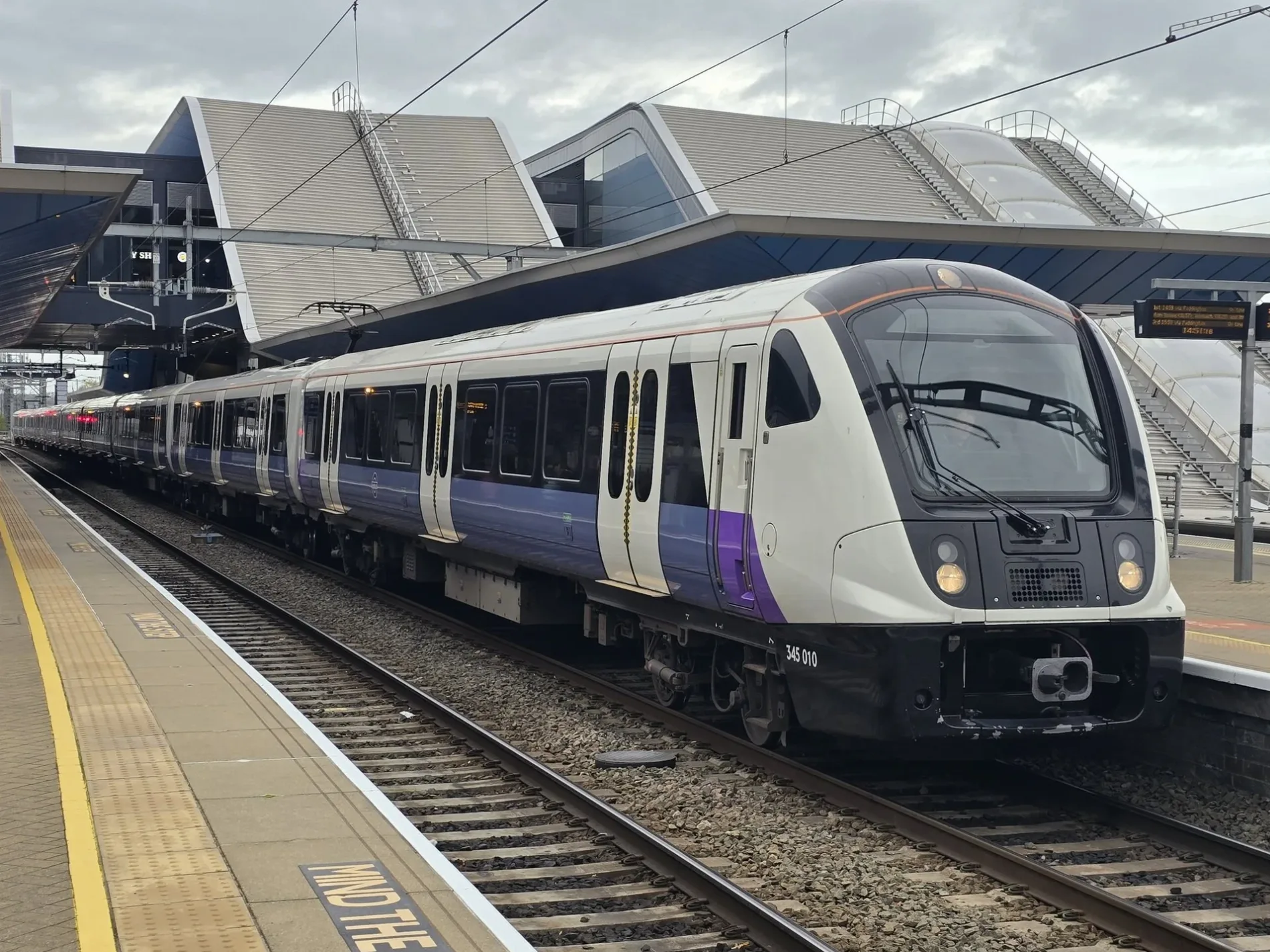
Heathrow Link Line in London Borough of Hillingdon is a railway line (Heathrow Airport Holdings, line number HLL1, 1435 mm, overhead line, main line). The train routes HX and Elizabeth run along this road. It passes through a tunnel. Heathrow Link Line is also known as Lizzie line. Ⓦ.
- Speed Limit
- 80 mph
- Operator
- Heathrow Airport Holdings
Image
Places of worship
Pubs
Bus stops
Fast food restaurants
Car hires
Restaurants
Roads nearby
Heathrow Airport Spur RoadHeathrow, Concorde Roundabout, Tesla Supercharger Heathrow
100 m
Cherry Lane Roundabout350 m
Shepiston LaneCherry Lane Cemetery, Greggs, Subway, Sbarro, Dawley Road, Sam Philip Recreation Ground
350 m
Stockley RoadStockley Road
400 m
Blossom Way500 m
Vine Close550 m
Sipson LaneSipson Christian Fellowship, Achari, The Village Pharmacy, The Co-operative Food
650 m
Russell Gardens650 m
Blackthorn Avenue650 m
Vineries Close650 m
Holloway LaneHarmondsworth, Harmondsworth Lane, Shell West Drayton
700 m
Sipson RoadSipson, Harmondsworth Lane, Sipson Close, Sipson Way, Maxwell Road, Favorite Chicken & Ribs West Drayton, Doghurst Drive, The Plough, Heathrow
700 m
Wykeham Close750 m
Keats Way750 m
Thornton Avenue750 m
Hollycroft Close800 m
Vincent Close800 m
Hollycroft Gardens800 m
Beech Close800 m
Harmondsworth LaneKing William IV
850 m
Smaldon Close850 m
Bourne AvenueGuinness Close, The Music Box, Conway Drive, Bourne news Box, Strawberry Local, Sun Sun, Skipton Drive
850 m
Hazel Avenue900 m
Walnut Avenue900 m
Cherry LaneCherry Lane School
900 m
Myrtle Close900 m
Firtree AvenueBell Farm Church
900 m
East Road950 m
Oak Avenue950 m
Scott Close1000 m
South Road1000 m
Bell Avenue1000 m
Chapman Close1,0 km
Thornton Close1,0 km
The Glebe1,0 km
Buildings nearby
Pavilon650 m
Sant Nirankari Mission700 m
Church Court700 m
Cafés nearby
cinitas cafe1,0 km
Commercial areas nearby
Heathrow Coach Centre550 m
Convenience stores nearby
Asda Express400 m
Hotels nearby
Premier Inn300 m
Industrial areas nearby
Wall Garden Farm600 m
Harmondsworth Landfill Site800 m
Petrol stations nearby
Esso450 m
Pubs nearby
The Plough500 m
Quarries nearby
Sipson Sand and Gravel Quarry450 m
Recreation grounds nearby
Little Harlington Playing Fields650 m
Residential areas nearby
Bell Farm Estate1000 m
| Named after | Elizabeth II |
|---|---|
| Opening | 2022 |
| Country | United Kingdom |
| Transport network | Elizabeth line network |
| Website | https://tfl.gov.uk/modes/elizabeth-line/ |
| Significant event | Crossrail |
| Has part | Elizabeth line: Reading - Abbey Wood, Elizabeth line: Maidenhead - Abbey Wood, Elizabeth line: Heathrow Airport - Abbey Wood, Elizabeth line: Heathrow Airport - Shenfield, Elizabeth line: Paddington - Shenfield |
| Part of | TfL |
Public transport map London Borough of Hillingdon Legend
| Railway | |
| Bus | |
| Tram |
Cycling map London Borough of Hillingdon Legend
| Cycle path | |
| Cycle lane on road | |
| Cycling on bus lane | |
| Bicycle street | |
| Cyclists allowed | |
| Cyclists allowed, good surface | |
| No cycling | |
| Cobblestones |
| Long-distance cycle route | (depending on scale) | |
| Long-distance cycle route |
Walking map London Borough of Hillingdon Legend
| Path |
| Long-distance hiking trail | (depending on scale) | |
| Long-distance hiking trail | ||
| No pedestrians |