
Thornton Avenue in London Borough of Hillingdon
Thornton Avenue in London Borough of Hillingdon is a residential street. It runs in a southeast-northwest direction and crosses East Road, Thornton Close, South Road, Bell Avenue, Firtree Avenue and Beech Close. Thornton Avenue also exists in London Borough of Hounslow, London Borough of Croydon and London Borough of Lambeth.
- Road Type
- residential street
- Route
- southeast-northwest
Image
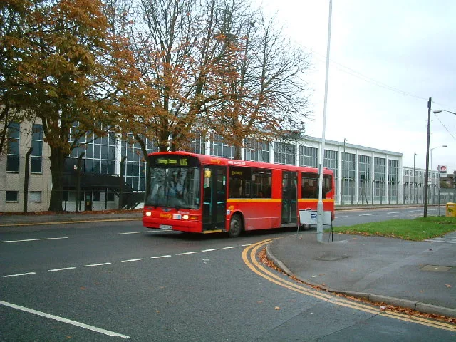
Fast food restaurants
Restaurants
Internet cafés
Bus stops
Places of worship
Convenience stores
Pharmacy
Hairdressers
Newsagent's
Roads nearby
Firtree AvenueBell Farm Church
100 m
Beech Close150 m
Myrtle Close150 m
Thornton Close150 m
Chapman Close150 m
South Road200 m
Oak Avenue200 m
East Road250 m
West Road250 m
North Road250 m
South Close250 m
Walnut Avenue300 m
Hazel Avenue300 m
Smaldon Close300 m
Bell Avenue300 m
Almond Avenue350 m
Blackthorn Avenue350 m
Cherry LaneCherry Lane School
350 m
Sipson RoadMaxwell Road, Favorite Chicken & Ribs West Drayton, Sipson, Harmondsworth Lane, Sipson Close, Sipson Way, Doghurst Drive, The Plough, Heathrow
350 m
Napier Close400 m
Porters WayKings Road, North Road, Queens Road
400 m
Brickfields Way400 m
Pocock Avenue400 m
Percy Bush Road450 m
Maxwell RoadHawkesworth Close, Leaf Close, Boots, Tesco Express
450 m
Starveall Close500 m
The Glebe500 m
Dell RoadSipson Tandoori, Del Boy's Independent Barbers
500 m
Station RoadClement Gardens, Petwell House Vets, Clayton Road, Ferrers Avenue, Popeyes Grill, Emporium Food Centre, Boots, Go Sing, Original Copy Centre, Drayton Barbers, Mylocal, West Drayton Food & Wine, About Tech, Nomdora, Ocean Dry Cleaners, Augu's Palace, M.A. Whenman Shoe Repairs & Key Cutting, Venus Convenience Store, Deccan Bawarchi, Freshbites, Sametta, Drayton Tandoori, Millington Road, Asda Café, Church Road, Brandville Road, Domino's, Smokin Patty, Step in Salon, Get Smart, Laundrette Dry Cleaners, Palace Tandoori, ISA News, Food & Wine, Best Food & Wine, King Paget Hotel, Personal Licence Courses UK Ltd, Harolds Opticians, Jas Internet Cafe, New Wing Luck, Butties Nigerian Takeaway, Hand Car Wash - Gulf, Redmead Road, House Box, Winter & Summer, Cleveland Road, Station Road, Porters Way, Hayes Town Centre, Hayes Post Office, McDonald's, Pound Plus Shop, Gulf Technology Ltd., Scope, The Village, Costa, WHSmith, Superdrug, Hayes Fresh Fish, Paul's Bakery, Greggs, Chicken Cottage, Siasa Telecom, MBN Services, Luck Hairdresser, Hari News, JenningsBet, Roy Barbers, Fone & Vape Off Licence, Iceland, Paddy Power, Trend...Z, Card Factory, Halifax, Boots Opticians, Mashaallah Food Centre, Poundland, William Hill, Hayes College London, Harrolds, H&T Pawnbrokers, Cheatmeals, T4 Tea For U, Mall in the Wall, Little Shiraz, Liquor 38, Fairey Corner, G S Cycles, Hayes & Harlington, Hayes & Harlington Station, Station Kiosk, Station toilets (Platform 4), Dry Cleaners and Launderette, KFC, Femina Hair & Beauty, Harry's Hairdressers, Save More Superstore, Nepalese Centre, Namaste Gurkha, Cafe Vaknat, Railway Arms, Huong Viet, West Drayton Post Office, Griddle Cafe, Kinzzu, Tina Star Nails, No 46
500 m
Scott Close500 m
Poppy CloseWest Drayton
550 m
Blossom Way550 m
Hanson Close550 m
Keats Way550 m
Vine Close550 m
Harmondsworth RoadHarmondsworth Road
550 m
Constabulary Close600 m
Wordsworth Way600 m
Byron WayS & K News
600 m
Coleridge Waycom.cafe
650 m
Milton Way700 m
Allotment gardens nearby
West Drayton Depot allotments350 m
West Drayton Cemetery allotments550 m
Cemeteries nearby
West Drayton Cemetery600 m
Community centres nearby
Yiewsley and West Drayton Community Centre550 m
Family Centre600 m
Constructions nearby
Platinum Jubilee Leisure Centre600 m
Grass nearby
The Dell500 m
Residential areas nearby
Bell Farm Estate350 m
Public transport map London Borough of Hillingdon Legend
| Railway | |
| Bus | |
| Tram |
Cycling map London Borough of Hillingdon Legend
| Cycle path | |
| Cycle lane on road | |
| Cycling on bus lane | |
| Bicycle street | |
| Cyclists allowed | |
| Cyclists allowed, good surface | |
| No cycling | |
| Cobblestones |
| Long-distance cycle route | (depending on scale) | |
| Long-distance cycle route |
Walking map London Borough of Hillingdon Legend
| Path |
| Long-distance hiking trail | (depending on scale) | |
| Long-distance hiking trail | ||
| No pedestrians |