
South Close in London Borough of Hillingdon
South Close in London Borough of Hillingdon is a residential street and it runs in a southeast-northwest direction and ends at South Road. South Close also exists in London Borough of Haringey, London Borough of Barnet, London Borough of Bexley, London Borough of Merton and London Borough of Richmond upon Thames.
- Road Type
- residential street
- Route
- southeast-northwest
Image
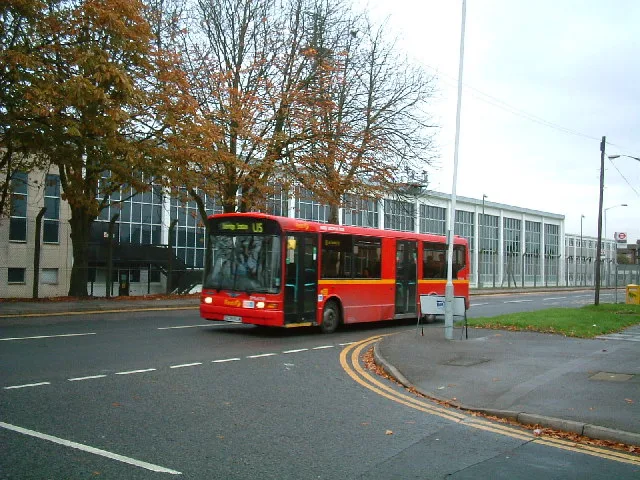
Fast food restaurants
Restaurants
Bus stops
Convenience stores
Pharmacy
Places of worship
Hairdressers
Specialist shops
Roads nearby
South Road100 m
West Road150 m
Thornton Close200 m
Spring PromenadeSainsbury's Local
200 m
Firtree AvenueBell Farm Church
200 m
Thornton Avenue250 m
Winter Green Drive300 m
Four Seasons Terrace300 m
Chapman Close350 m
Pocock Avenue350 m
Percy Bush Road400 m
Park Lodge Avenue400 m
Evergreen Drive400 m
Myrtle Close400 m
Brickfields Way400 m
Pennyroyal Drive400 m
North Road450 m
Napier Close450 m
Bell Avenue450 m
Starveall Close450 m
Hanson Close550 m
Sipson RoadMaxwell Road, Favorite Chicken & Ribs West Drayton, Sipson, Harmondsworth Lane, Sipson Close, Sipson Way, Doghurst Drive, The Plough, Heathrow
550 m
Hawthorne Crescent550 m
Poppy CloseWest Drayton
550 m
Kings Road550 m
Queens Road550 m
Edison Close600 m
Boxwood Close600 m
Holly Gardens650 m
Allotment gardens nearby
West Drayton Depot allotments250 m
Apartment buildings nearby
Burlington House350 m
Arlington House400 m
Brich House400 m
Cavendish House450 m
Windsor Court450 m
Hampton House450 m
Carisbrooke House450 m
Denham House500 m
Richmond Court500 m
Davenport House500 m
Bushey Lodge500 m
Greenwich Court550 m
Exmoor Lodge600 m
Parks nearby
Four Seasons Green300 m
Spring Green400 m
Recreation grounds nearby
Autumn Green Playground550 m
Residential areas nearby
Stockley Est.100 m
Drayton Garden Village150 m
Parkwest Apartments450 m
Public transport map London Borough of Hillingdon Legend
| Railway | |
| Bus | |
| Tram |
Cycling map London Borough of Hillingdon Legend
| Cycle path | |
| Cycle lane on road | |
| Cycling on bus lane | |
| Bicycle street | |
| Cyclists allowed | |
| Cyclists allowed, good surface | |
| No cycling | |
| Cobblestones |
| Long-distance cycle route | (depending on scale) | |
| Long-distance cycle route |
Walking map London Borough of Hillingdon Legend
| Path |
| Long-distance hiking trail | (depending on scale) | |
| Long-distance hiking trail | ||
| No pedestrians |