
Hawthorne Crescent in London Borough of Hillingdon
Hawthorne Crescent in London Borough of Hillingdon is a residential street. It runs in a southeast-northwest direction starting from Kingston Lane and crosses Boxwood Close and ends at Holly Gardens. Hawthorne Crescent also exists in Royal Borough of Greenwich.
- Road Type
- residential street
- Route
- southeast-northwest
Image
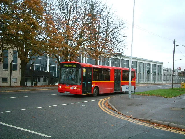
Fast food restaurants
Hotels
Colleges
Bus stops
Car washes
Car repair shops
Specialist shops
Convenience stores
Restaurants
Furniture shops
Roads nearby
Boxwood Close100 m
Kings Road150 m
Queens Road150 m
Edison Close150 m
Holly Gardens150 m
Park Lodge Avenue200 m
Winter Green Drive300 m
Percy Bush Road300 m
Pennyroyal Drive300 m
Pocock Avenue300 m
Starveall Close300 m
Hanson Close300 m
Brickfields Way350 m
Poppy CloseWest Drayton
350 m
Evergreen Drive350 m
Four Seasons Terrace400 m
West Road450 m
Spring PromenadeSainsbury's Local
450 m
Napier Close450 m
Thornton Close550 m
South Close550 m
Thornton Avenue550 m
South Road600 m
Chapman Close600 m
North Road600 m
Sipson RoadMaxwell Road, Favorite Chicken & Ribs West Drayton, Sipson, Harmondsworth Lane, Sipson Close, Sipson Way, Doghurst Drive, The Plough, Heathrow
650 m
Bell Avenue700 m
Myrtle Close750 m
Allotment gardens nearby
West Drayton Depot allotments350 m
Apartment buildings nearby
Carisbrooke House100 m
Davenport House100 m
Cavendish House150 m
Denham House150 m
Brich House150 m
Burlington House200 m
Arlington House200 m
Windsor Court250 m
Bushey Lodge250 m
Exmoor Lodge250 m
Coppinger Court250 m
Richmond Court300 m
Greenwich Court300 m
Hampton House300 m
Parks nearby
Spring Green300 m
Four Seasons Green350 m
Recreation grounds nearby
Autumn Green Playground300 m
Residential areas nearby
Parkwest Apartments250 m
Drayton Garden Village450 m
Stockley Est.500 m
Public transport map London Borough of Hillingdon Legend
| Railway | |
| Bus | |
| Tram |
Cycling map London Borough of Hillingdon Legend
| Cycle path | |
| Cycle lane on road | |
| Cycling on bus lane | |
| Bicycle street | |
| Cyclists allowed | |
| Cyclists allowed, good surface | |
| No cycling | |
| Cobblestones |
| Long-distance cycle route | (depending on scale) | |
| Long-distance cycle route |
Walking map London Borough of Hillingdon Legend
| Path |
| Long-distance hiking trail | (depending on scale) | |
| Long-distance hiking trail | ||
| No pedestrians |