
Elizabeth Line in London Borough of Newham
Elizabeth Line in London Borough of Newham is a railway line (Network Rail, line number LTN1, 1435 mm, overhead line, main line). The train routes Elizabeth and London Liverpool Street => Colchester Town run along this road. Elizabeth Line is also known as Lizzie line. Elizabeth Line also exists in City of Westminster, Royal Borough of Kensington and Chelsea, City of London, London Borough of Tower Hamlets and London Borough of Islington. Ⓦ.
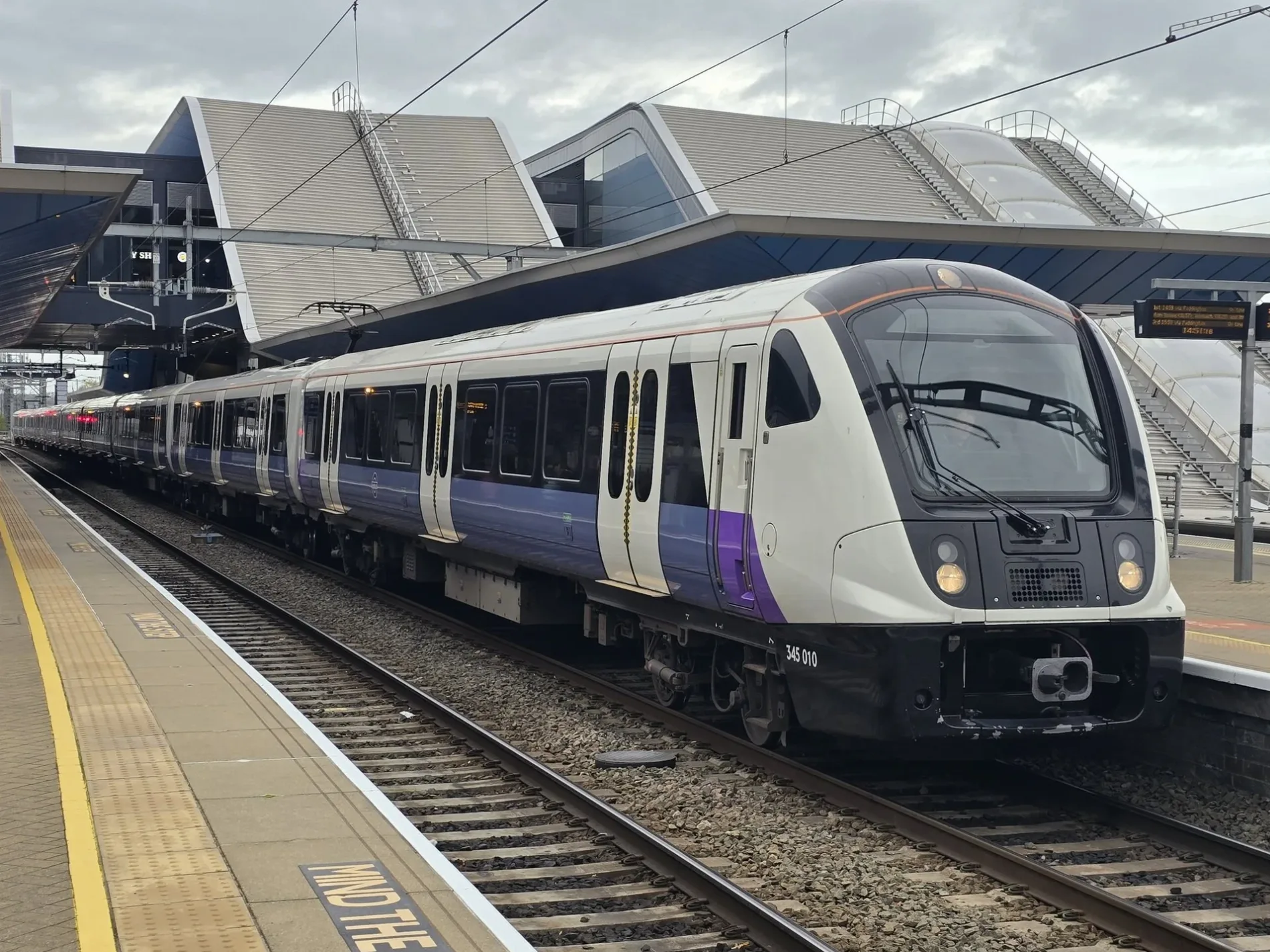
- Speed Limit
- 70 mph
- Operator
- Network Rail
Bus stops
Convenience stores
Light rail stops
Lounges
Cafés
Artwork
Viewpoint
Stations
- train routes Elizabeth
Tourist information offices
Marketplaces
Ticket shops
Clothing shops
Roads nearby
Warton RoadWarton Road, Alma Express
200 m
Bridgewater Road250 m
Montfichet RoadStratford City Bus Station, Stratford Station, Stratford Central Junction East, Stratford, 1797, Nero Express, Sweet Express, Stratford Central Junction West, Stratford City Bus Station #20 (Stansted Airport)
250 m
Sidings StreetCarpenters Road South Junction, UEL & Bobby Moore Academy School, Pudding Mill Lane Junction, Carpenters Road, Greenway
250 m
Otter Close250 m
Biggerstaff Road300 m
Blaker Road300 m
Lapis MewsSpirit of Stratford
300 m
The GreenwayView Tube Market, History Trees, Greenway
300 m
The Riverside Path350 m
Rowse Close350 m
GreenwayNeonatal Unit, L1 Z2, Rainbow Ward
350 m
Friendship Way350 m
Abbey LaneHappy Off Licence, The Burger Cafe
400 m
Carpenters RoadLea Junction, Carpenters Road North Junction, Carpenters Primary School, East Bank, Since 9/11, Channelsea North Junction, Channelsea South Junction, Gibbins Road, Carpenters Tenant Management Organisation, Carpenters Road
400 m
Hutchins CloseAmaranté London
400 m
Rick Roberts WayTravis Perkins, Stratford Smart
400 m
Godfrey Street450 m
Aubrey Moore Point500 m
Allotment gardens nearby
Pudding Mill Allotments150 m
Apartment buildings nearby
Icona Point200 m
Sapphire Court250 m
Amber Court300 m
Ruby Court300 m
Warton House300 m
River Heights350 m
Opal Court350 m
Halo350 m
Aphrodite Court350 m
Athena Court350 m
Apollo Court400 m
Albert Bigg Point400 m
Artwork nearby
Carpenters Curve250 m
Building under constructions nearby
James Riley Point450 m
Buildings nearby
Acme Studios300 m
Community centres nearby
Carpenters Community Hall400 m
Constructions nearby
Bridgewater Bridge200 m
Bridgewater Triangle250 m
Hotels nearby
Holiday Inn Express - Stratford400 m
Houses nearby
Lockkeepers Cottage350 m
Light rail lines nearby
Docklands Light Railway150 m
Pubs nearby
The Carpenter's Arms400 m
Recreation grounds nearby
Abbey Lane Open Space500 m
Residential buildings nearby
Azura Court250 m
Odelia Court250 m
Rivers nearby
Waterworks River200 m
Three Mills Wall River350 m
Sports pitches nearby
Carpenters Sports Garden350 m
Village greens nearby
James Riley Point Garden450 m
Other nearby
City Mill Lock Island350 m
| Named after | Elizabeth II |
|---|---|
| Opening | 2022 |
| Country | United Kingdom |
| Transport network | Elizabeth line network |
| Website | https://tfl.gov.uk/modes/elizabeth-line/ |
| Significant event | Crossrail |
| Has part | Elizabeth line: Reading - Abbey Wood, Elizabeth line: Maidenhead - Abbey Wood, Elizabeth line: Heathrow Airport - Abbey Wood, Elizabeth line: Heathrow Airport - Shenfield, Elizabeth line: Paddington - Shenfield |
| Part of | TfL |
Public transport map London Borough of Newham Legend
| Railway | |
| Bus | |
| Tram |
Cycling map London Borough of Newham Legend
| Cycle path | |
| Cycle lane on road | |
| Cycling on bus lane | |
| Bicycle street | |
| Cyclists allowed | |
| Cyclists allowed, good surface | |
| No cycling | |
| Cobblestones |
| Long-distance cycle route | (depending on scale) | |
| Long-distance cycle route |
Walking map London Borough of Newham Legend
| Path |
| Long-distance hiking trail | (depending on scale) | |
| Long-distance hiking trail | ||
| No pedestrians |