
Anderson Close in London Borough of Sutton
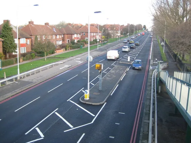
Anderson Close in London Borough of Sutton is a residential street and runs in a northeast-southwest direction starting from Sutton Common Road and ends in a cul-de-sac. Anderson Close also exists in London Borough of Ealing and London Borough of Hillingdon.
- Road Type
- residential street
- Route
- northeast-southwest
Image
Convenience stores
Car repair shops
Stations
Bus stops
DIY stores
Restaurants
Post offices
Platforms
Roads nearby
Sherborne Road150 m
Thompson Close150 m
Alcorn Close200 m
Clensham Court250 m
Taunton Close250 m
Barrington Road250 m
Ranfurly Road250 m
Fairlands Avenue250 m
Glenthorne Close300 m
Glenthorne Gardens300 m
Acacia Drive300 m
Reigate Avenue350 m
Clensham Lane350 m
Glastonbury Road400 m
Broomloan Lane450 m
Foxton Way450 m
St. John's RoadJontor Engineers, Omega Services
450 m
Chester Close450 m
Arlington Close450 m
Leafield Road500 m
Oakwood Gardens500 m
Hurstcourt Road500 m
Kimpton Park WayScrewfix
550 m
Minster Avenue550 m
Burford Road550 m
Lymescote Gardens600 m
Marlborough RoadHail & Ride Marlborough Road
650 m
Dibdin Road650 m
Farrier Place650 m
Dibdin Close650 m
Wealdstone Road650 m
Sutton Common RoadBroomloan Lane, Forest Road, Stonecot Hill, Tonfield Road, Costcutter, Sutton Common Road Post Office, Fawngrove, Sutton Common Station, Sutton Common Road, Angel Hill, Glenthorne High School, The Plough, Stonecot Service Station
700 m
Blenheim Road750 m
Oldfields RoadStayton Road, Wickes, Mr India
800 m
Stayton RoadHail & Ride Sunnyhurst Close, Hail & Ride Hallmead Road
800 m
Willow Walk800 m
Buildings nearby
St Helier DC Traction Substation350 m
PFW Sutton Depot650 m
Cemeteries nearby
Sutton Cemetery300 m
Commercial buildings nearby
Food + Wine400 m
Fast food restaurants nearby
McDonald's750 m
Libraries nearby
Sutton Life Centre150 m
Parks nearby
Kimpton Linear Park450 m
Railway lines nearby
Sutton Loop Line400 m
Recreation grounds nearby
The Daisy Field - Reigate Avenue Playing Fields300 m
Self-storages nearby
Big Yellow Self Storage550 m
Sports halls nearby
Indoor Tennis Courts450 m
Streams nearby
East Pyl Brook300 m
Supermarkets nearby
Tesco Extra650 m
Public transport map London Borough of Sutton Legend
| Railway | |
| Bus | |
| Tram |
Cycling map London Borough of Sutton Legend
| Cycle path | |
| Cycle lane on road | |
| Cycling on bus lane | |
| Bicycle street | |
| Cyclists allowed | |
| Cyclists allowed, good surface | |
| No cycling | |
| Cobblestones |
| Long-distance cycle route | (depending on scale) | |
| Long-distance cycle route |
Walking map London Borough of Sutton Legend
| Path |
| Long-distance hiking trail | (depending on scale) | |
| Long-distance hiking trail | ||
| No pedestrians |