
Brighton Road in London Borough of Sutton
Brighton Road in London Borough of Sutton is a two-lane, lit secondary road (road number B2230). It runs in a north-south direction starting from High Street and crosses Mulgrave Road, The Quadrant, Wellesley Avenue, Grosvenor Court, Cedar Road, Berridge Close, Cavendish Road, Grange Vale, Copse Hill, Melton Court and Christchurch Park. It ends in a cul-de-sac. This road is part of the bicycle route "LCN 76". In the vicinity, you can find among other things 2 restaurants, a café, a fast food restaurant and a hairdresser's. The nearest stops include Sutton Station, Sutton Hospital, Devonshire Avenue, Egmont Road and Gatton Close. The bus lines 80, 164, 280, 420, 470, 820, N44, S1, S3 and S4 serve this stop. Brighton Road also exists in London Borough of Hackney, London Borough of Barnet, Royal Borough of Kingston upon Thames and London Borough of Newham.
- Road Type
- secondary road
- Lanes
- 2
- Speed Limit
- 40 mph
- Route
- north-south
Image
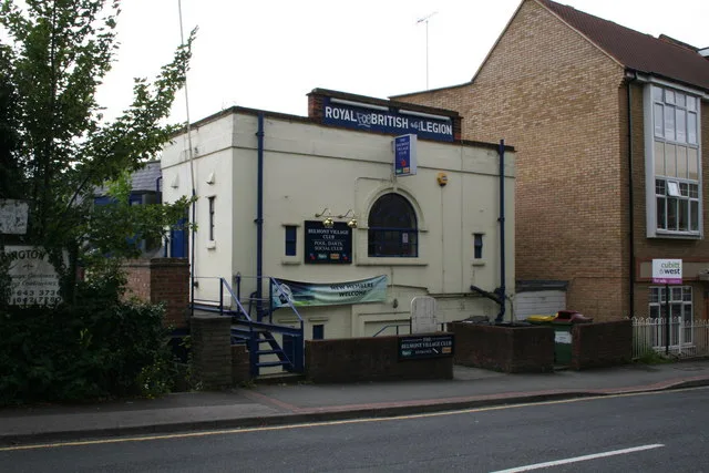
Fast food restaurants
Platforms
- bus lines 80, 164, 280, 420, 470, 820, N44, S1, S3, S4
Bus stops
- bus lines 80, 164, 280, 420, 470, 820, N44, S1, S3, S4
Roads nearby
Banstead DownsAmenities nearby
Hopscotch Day NurseryShops nearby
UK Windows Ltd.Apartment buildings nearby
Deacon HouseBakeries nearby
F.M. & L.J StenningBuildings nearby
Glenlyon HouseButcher's nearby
Roy GravettCafés nearby
The Usual PlaceConvenience stores nearby
McColl'sDental practices nearby
Belmont Dental PracticeDry cleaner's nearby
Snow Star Dry CleanersFast food restaurants nearby
May May HouseFlorist's nearby
London & BelcherHairdresser's nearby
Belmont BarbersIndustrial buildings nearby
R. J. DanceNature reserves nearby
The PasturesPlaces of worship nearby
St John the BaptistPubs nearby
The CaliforniaRailway lines nearby
Belmont Turnback SidingRestaurants nearby
Haweli of BelmontOther nearby
Greater London - Surrey| Railway | |
| Bus | |
| Tram |
| Cycle path | |
| Cycle lane on road | |
| Cycling on bus lane | |
| Bicycle street | |
| Cyclists allowed | |
| Cyclists allowed, good surface | |
| No cycling | |
| Cobblestones |
| Long-distance cycle route | (depending on scale) | |
| Long-distance cycle route |
| Path |
| Long-distance hiking trail | (depending on scale) | |
| Long-distance hiking trail | ||
| No pedestrians |