
Downs Road in London Borough of Sutton
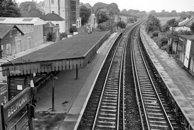
Downs Road in London Borough of Sutton is a lit tertiary road. There is no cycle path. It runs in a southeast-northwest direction starting from Station Approach and crosses Brighton Road, Commonside Close, Cotswold Road, Clifton Avenue, Furzedown Road and Banstead Road South and ends at Fairlawn Road. The nearest stop is Belmont Station. The bus lines S3 and S4 serve this stop. Downs Road also exists in London Borough of Hackney, London Borough of Enfield, London Borough of Croydon and London Borough of Bromley.
- Road Type
- tertiary road
- Speed Limit
- 30 mph
- Route
- southeast-northwest
Image
Bus stops
- bus lines S3, S4
Roads nearby
Brighton RoadSutton Station, Il Toscano, Delight, The Friendly Dolphin, Spaghetti Tree, Brighton Road / Cavendish Road, Sutton Hospital, Devonshire Avenue, Egmont Road, Gatton Close, Belmont Station / Brighton Road, Anthony's, Sutton
50 m
Commonside CloseBelmont Station
100 m
Station RoadTaka, Belmont, Belmont / Station Road, Serenity Beauty Salon, Design Æffects, The California Fish and Chips, Eclipse Hair, Pet Stop, Belmont Garage, Belmont Food & Wines, Kirkby Pharmacy, Curryzma
100 m
Station ApproachSutton Health Clinic, Belmont, Cheam, Carshalton
100 m
Pelton AvenueBelmont Station / Brighton Road
150 m
Bradley CloseJackie's Hair Studio, The Little Ironing & Dry Cleaning Shop, Belmont
150 m
Sevenoaks Close200 m
Baron Close250 m
Belmont RoadMelbourne Road, Maggi's, Manor Fish Bar, Beddington & Wallington Fire Station
250 m
Cotswold RoadDowns Road / Belmont Station, Sutton Hospital
250 m
Bicknoller Close300 m
Sutton LaneHighdown Lane, Banstead Downs, Grange Gardens, Croydon Lane
300 m
Clifton Avenue350 m
Furzedown Road700 m
High Down Road750 m
Amenities nearby
Play House Day Nursery450 m
Shops nearby
UK Windows Ltd.200 m
Bakeries nearby
F.M. & L.J Stenning200 m
Buildings nearby
Glenlyon House150 m
The Willows350 m
E Block500 m
Sir Richard Doll Building600 m
Centre for Cancer Drug Discovery600 m
Butcher's nearby
Roy Gravett200 m
Cafés nearby
The Usual Place200 m
Convenience stores nearby
McColl's250 m
Dental practices nearby
Belmont Dental Practice200 m
Hairdresser's nearby
Belmont Barbers200 m
Hospitals nearby
Maggie's300 m
Sycamore House (D Block)300 m
McElwain Labs350 m
Children's & Teenage Cancer Centre350 m
A Block (closed)350 m
B Block (closed)400 m
The Ups Club450 m
Cotswold Hse450 m
Oak Cancer Centre500 m
Malvern Centre500 m
Orchard House500 m
Royal Marsden Hospital600 m
Institute of Cancer Research Labs600 m
Brookes Lawley Building650 m
Industrial buildings nearby
R. J. Dance150 m
Nature reserves nearby
The Pastures200 m
Pubs nearby
The California50 m
Railway lines nearby
Epsom Downs Branch100 m
Belmont Turnback Siding350 m
Restaurants nearby
Haweli of Belmont200 m
Schools nearby
Harris Academy Sutton450 m
 Public transport map London Borough of Sutton Legend
| Railway | |
| Bus | |
| Tram |
 Cycling map London Borough of Sutton Legend
| Cycle path | |
| Cycle lane on road | |
| Cycling on bus lane | |
| Bicycle street | |
| Cyclists allowed | |
| Cyclists allowed, good surface | |
| No cycling | |
| Cobblestones |
| Long-distance cycle route | (depending on scale) | |
| Long-distance cycle route |
 Walking map London Borough of Sutton Legend
| Path |
| Long-distance hiking trail | (depending on scale) | |
| Long-distance hiking trail | ||
| No pedestrians |