
Bicknoller Close in London Borough of Sutton
Bicknoller Close in London Borough of Sutton is a residential street and comes from Cotswold Road.
- Road Type
- residential street
Image
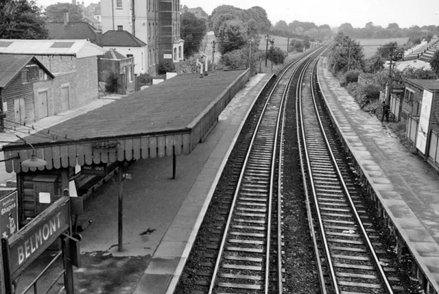
Doctor's office
Platforms
Dry cleaner's
Bus stops
Roads nearby
Clifton Avenue100 m
Cotswold RoadDowns Road / Belmont Station, Sutton Hospital
150 m
Baron Close200 m
Pelton AvenueBelmont Station / Brighton Road
200 m
Sutton LaneHighdown Lane, Banstead Downs, Grange Gardens, Croydon Lane
200 m
Downs RoadBelmont Station, Royal Marsden Hospital / Downs Road, Downs Road / Banstead Road South
250 m
Brighton RoadSutton Station, Il Toscano, Delight, The Friendly Dolphin, Spaghetti Tree, Brighton Road / Cavendish Road, Sutton Hospital, Devonshire Avenue, Egmont Road, Gatton Close, Belmont Station / Brighton Road, Anthony's, Sutton
300 m
Commonside CloseBelmont Station
300 m
Station RoadTaka, Belmont, Belmont / Station Road, Serenity Beauty Salon, Design Æffects, The California Fish and Chips, Eclipse Hair, Pet Stop, Belmont Garage, Belmont Food & Wines, Kirkby Pharmacy, Curryzma
350 m
Station ApproachSutton Health Clinic, Belmont, Cheam, Carshalton
350 m
Bradley CloseJackie's Hair Studio, The Little Ironing & Dry Cleaning Shop, Belmont
400 m
Sevenoaks Close400 m
Furzedown Road450 m
Belmont RoadMelbourne Road, Maggi's, Manor Fish Bar, Beddington & Wallington Fire Station
450 m
High Down Road600 m
Amenities nearby
Play House Day Nursery200 m
Shops nearby
UK Windows Ltd.450 m
Bakeries nearby
F.M. & L.J Stenning450 m
Buildings nearby
The Willows250 m
E Block250 m
Sir Richard Doll Building350 m
Centre for Cancer Drug Discovery400 m
Glenlyon House400 m
Butcher's nearby
Roy Gravett450 m
Cafés nearby
The Usual Place450 m
Convenience stores nearby
McColl's500 m
Dental practices nearby
Belmont Dental Practice450 m
Hairdresser's nearby
Belmont Barbers450 m
Hospitals nearby
Maggie's100 m
McElwain Labs100 m
Sycamore House (D Block)100 m
Children's & Teenage Cancer Centre100 m
The Ups Club200 m
Oak Cancer Centre250 m
A Block (closed)250 m
B Block (closed)250 m
Orchard House300 m
Cotswold Hse300 m
Malvern Centre300 m
Royal Marsden Hospital350 m
Institute of Cancer Research Labs350 m
Brookes Lawley Building400 m
Industrial buildings nearby
R. J. Dance350 m
Nature reserves nearby
The Pastures400 m
Pubs nearby
The California250 m
Railway lines nearby
Epsom Downs Branch350 m
Belmont Turnback Siding500 m
Restaurants nearby
Haweli of Belmont450 m
Schools nearby
Harris Academy Sutton350 m
Public transport map London Borough of Sutton Legend
| Railway | |
| Bus | |
| Tram |
Cycling map London Borough of Sutton Legend
| Cycle path | |
| Cycle lane on road | |
| Cycling on bus lane | |
| Bicycle street | |
| Cyclists allowed | |
| Cyclists allowed, good surface | |
| No cycling | |
| Cobblestones |
| Long-distance cycle route | (depending on scale) | |
| Long-distance cycle route |
Walking map London Borough of Sutton Legend
| Path |
| Long-distance hiking trail | (depending on scale) | |
| Long-distance hiking trail | ||
| No pedestrians |