
Reed Place in London Borough of Wandsworth
Reed Place in London Borough of Wandsworth is a paved service road and runs in a southeast-northwest direction starting from Saint John's Hill. Reed Place also exists in London Borough of Lambeth.
- Road Type
- service road
- Route
- southeast-northwest
Image
Cafés
Mobile phone shops
Stationery shops
Bus stops
Pubs
Butcher's
Convenience stores
Fast food restaurants
Beauty salons
Platforms
Travel agencies
Roads nearby
Langford MewsThe Butchers Table, Happy Valley
150 m
Brighton YardCaffè Nero Express, Clapham Junction, Cards Galore, Sweet Express, Bagel Factory
150 m
Saint John's HillPlough Road, SASH Windows London Limited, Marcilly Road, 108 Dental, Brussels Road, The Hair Club, TRAID, St John's Hill Surgery - Begg Practice, St John's Tavern, Clapham Junction Station, Falcon Junction, Clapham Junction, Metro Bank, Clapham Junction Brighton Yard, Nail'd It, Stormzzy's, Waxbry, Clapton Craft, DGN Tech, Fat Phill's, Tortilla, Starbucks, Wasabi, Clapham Grand, Halifax
200 m
Plough RoadStrath Terrace, Jam-1, Wallis Close, Wayland Road Estate
200 m
Cologne Road250 m
Thomas Baines Road300 m
Weekley Square300 m
Winstanley RoadGate 2, Gate 1
350 m
Fenner Square400 m
Livingstone Road400 m
Meyrick RoadGate 3
450 m
Darien RoadClapham Junction Medical Practice
500 m
DIY stores nearby
Dechardom DIY150 m
Railways nearby
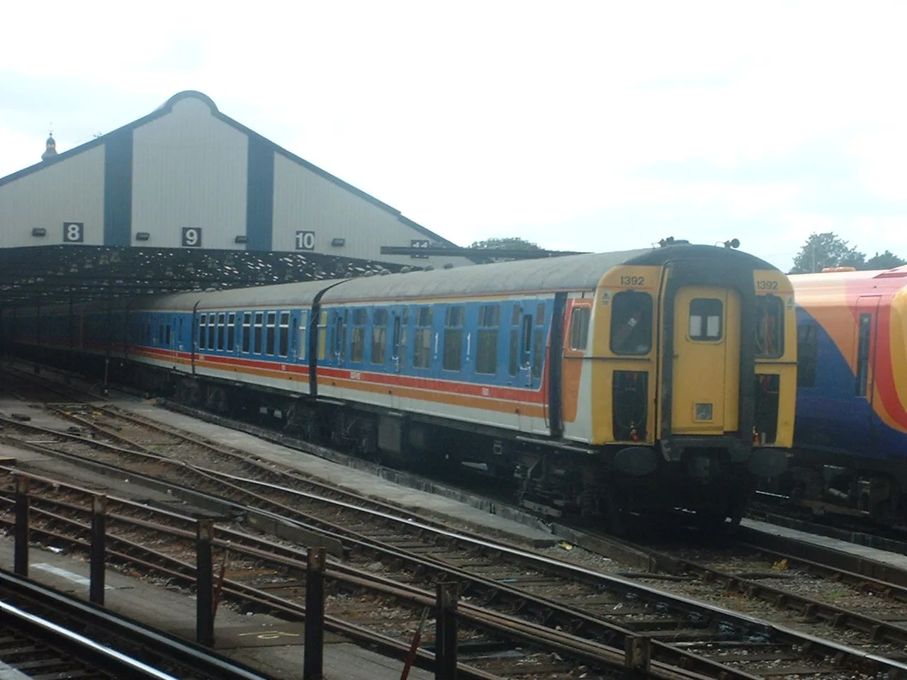
Clapham Traincare Depot100 m
Apartment buildings nearby
Fineran Court200 m
Scholey House450 m
Holcroft House500 m
Beauty salons nearby
Battersea Nails & Beauty200 m
Bicycle parkings nearby
Clapham Junction200 m
Building under constructions nearby
Junction House350 m
Buildings nearby
CEG Atmospheric Precision150 m
Inform200 m
Alexander Maltby200 m
Plot Architecture & Design200 m
Sendall Court350 m
Clapham Junction Grant Road350 m
Shaw Court350 m
Kestrel House400 m
Clarke Lawrence Court400 m
Kite House400 m
Osprey Heights450 m
Farrant House450 m
Clinics nearby
The Junction Health Centre350 m
Constructions nearby
Winstanley & York Road Regeneration350 m
Dry cleaner's nearby
Orange Dry Cleaning150 m
Places of worship nearby
Church of the Nazarene400 m
Platforms nearby
7100 m
8100 m
Railwaies nearby
Clapham Junction Maintenance Centre50 m
Railway lines nearby
Brighton Main Line150 m
West London line150 m
Clapham Junction Sidings200 m
South West Main Line200 m
Residential areas nearby
GradPad400 m
Residential buildings nearby
Griffon Studios - Block A350 m
Griffon Studios - Block B400 m
Griffon Studios - Block C400 m
Sports centres nearby
OYM - On Your Marks150 m
Toy shops nearby
Bright Agency200 m
Public transport map London Borough of Wandsworth Legend
| Railway | |
| Bus | |
| Tram |
Cycling map London Borough of Wandsworth Legend
| Cycle path | |
| Cycle lane on road | |
| Cycling on bus lane | |
| Bicycle street | |
| Cyclists allowed | |
| Cyclists allowed, good surface | |
| No cycling | |
| Cobblestones |
| Long-distance cycle route | (depending on scale) | |
| Long-distance cycle route |
Walking map London Borough of Wandsworth Legend
| Path |
| Long-distance hiking trail | (depending on scale) | |
| Long-distance hiking trail | ||
| No pedestrians |