
Bodgara Way in Liskeard
Bodgara Way in Kernow / Cornwall, Liskeard is a residential street. It runs in an east-west direction starting from Plymouth Road and crosses Killigrew Road, Spurway Road, Dungarth Road, Pendragon Road, Dungarth Green and Poldhu Road and ends at Lake Lane.
- Road Type
- residential street
- Speed Limit
- 20 mph
- Route
- east-west
Image
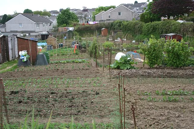
Fast food restaurants
Places of worship
Hairdressers
Bus stops
Restaurants
Convenience stores
Cafés
Pubs
Garden centres
Car repair shops
Hardware shops
Roads nearby
Cardinnis Green50 m
Lake Lane100 m
Poldhu Road100 m
Pendragon Road150 m
BriarwoodBriarwood
150 m
St Martins School150 m
Dungarth Green150 m
Passmore Close200 m
Yeomans Close200 m
Spurway Road200 m
Dungarth Road200 m
Dennis Road200 m
Caunter Road200 m
Rapson Road200 m
Treverbyn200 m
Plymouth RoadFairlight, Plymouth Road, Island Shop
250 m
Killigrew Road250 m
Hanson Road250 m
Wadham Drive300 m
Jago Close300 m
Pengover Heights300 m
Park Fenton300 m
Buller Park300 m
Wadham Close350 m
Wadham Road350 m
Carthew Close350 m
Connoc Close350 m
Boveway Drive350 m
Church Street South350 m
Golitha Rise350 m
Maudlin Close350 m
Liskerrett Road400 m
Putnam Close400 m
Sun Girt LaneUpper Sungirt Short Stay, Gurkha Tandoori, Hot Wok Renaissance, Goldenbank Nursey Garden Centre, Cafe Fleur
400 m
St Martins Court400 m
Trevanion Road450 m
Liskerritt Road450 m
Tom Lyon Road500 m
William Young Mews500 m
Bubble Retail ParkArgos, Morrisons
600 m
Amenities nearby
1st Liskeard Scout HQ250 m
Coffee shops nearby
Costa600 m
Convenience stores nearby
Morrisons Daily500 m
Parks nearby
Jago close picnic park300 m
Pet shops nearby
Pets at Home500 m
Places of worship nearby
St Martin's Church350 m
Railway lines nearby
Looe Valley Line500 m
Recreation grounds nearby
Castle Park200 m
Supermarkets nearby
Morrisons450 m
Public transport map Liskeard Legend
| Railway | |
| Bus | |
| Tram |
Cycling map Liskeard Legend
| Cycle path | |
| Cycle lane on road | |
| Cycling on bus lane | |
| Bicycle street | |
| Cyclists allowed | |
| Cyclists allowed, good surface | |
| No cycling | |
| Cobblestones |
| Long-distance cycle route | (depending on scale) | |
| Long-distance cycle route |
Walking map Liskeard Legend
| Path |
| Long-distance hiking trail | (depending on scale) | |
| Long-distance hiking trail | ||
| No pedestrians |