
Carradon Council Parking in Liskeard
Carradon Council Parking in Kernow / Cornwall, Liskeard is a service road (private) and runs in a north-south direction.
- Road Type
- service road
- Route
- north-south
Image
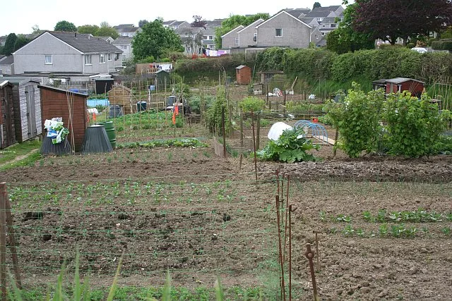
Hardware shops
Library
Car repair shops
Petrol stations
Museum
- Liskeard and District Museum (web) – approx. 400 m.
Bus stops
Cafés
Bicycle shops
Town hall
Places of worship
Fast food restaurants
Restaurants
Convenience stores
Social facility
Greengrocers
Roads nearby
Greenbank RoadAddington, Power Quip Ltd Hire Centre, liskeard Library
50 m
Luxstowe Gardens150 m
Luxstowe Drive150 m
Greenbank Lane150 m
Glencross Court200 m
Victoria Close200 m
Doctor's Lane250 m
Glencross Court garages250 m
The Crescent250 m
Smith's Cottages250 m
Tremeddan Lane300 m
Barras Cross300 m
Friends Place300 m
Castle View300 m
Pound StreetAndrews Garage
300 m
Lower Lux Street300 m
Castle Hill Court300 m
Barras Close300 m
Castle StreetHimalayan Spice
300 m
Barras PlaceThe Best Kebabs Pizzas & Burgers Take Away, Fully Charged Cornwall
350 m
Trewartha Court350 m
Passmore Edwards CourtEcho Centre
350 m
Castle Hill400 m
Barras StreetLloyds Bank, Post Office, 2 Taxi Spaces, Go Cornwall Bus, Domino's
400 m
The Parade400 m
Pike StreetLiskeard and District Museum, Everest Tandoori, Beddoe's
400 m
Market StreetH E Goldsworthy, Love Our Local Zone
400 m
Castle Lane400 m
Webbs CourtLiskeard
400 m
The Wellhouse450 m
Fore StreetLiskeard Fish and Chips, Malcolm Barnecutt, Bean Coffee Shop, Superdrug
450 m
Well LaneFat Frog
450 m
Church StreetNew Lai Wan, The Salvation Army - Liskeard
450 m
Pig Meadow LaneLiskeard Cycles, Koffiji Cafe
450 m
Pondbridge HillPoundland
500 m
Arts centres nearby
Stuart House500 m
Banks nearby
Santander450 m
Buildings nearby
Liskeard Job Centre100 m
Webb's Hotel400 m
Huddy's Court450 m
Commercial buildings nearby
Earl and Crocker Ltd.450 m
Fire stations nearby
Liskeard Community Fire Station100 m
Places of worship nearby
Greenbank Community Church300 m
Police stations nearby
Liskeard Police Station200 m
Post depots nearby
Liskeard Royal Mail local delivery office450 m
Post offices nearby
Liskeard Post Office450 m
Residential buildings nearby
Magnolia Court500 m
Retail buildings nearby
Liskeard library450 m
Veterinary practices nearby
Luxstowe Vets50 m
Public transport map Liskeard Legend
| Railway | |
| Bus | |
| Tram |
Cycling map Liskeard Legend
| Cycle path | |
| Cycle lane on road | |
| Cycling on bus lane | |
| Bicycle street | |
| Cyclists allowed | |
| Cyclists allowed, good surface | |
| No cycling | |
| Cobblestones |
| Long-distance cycle route | (depending on scale) | |
| Long-distance cycle route |
Walking map Liskeard Legend
| Path |
| Long-distance hiking trail | (depending on scale) | |
| Long-distance hiking trail | ||
| No pedestrians |