
Hulton Road in King's Lynn and West Norfolk
Hulton Road in King's Lynn and West Norfolk is a residential street and runs in an east-west direction and ends at Queen Mary Road, while the other end is a cul-de-sac. This road is part of the bicycle route "Hospital".
- Road Type
- residential street
- Speed Limit
- 30 mph
- Route
- east-west
Image
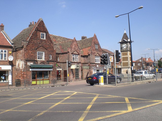
Roads nearby
Queen Mary RoadHenry Bell Close, opp, King John Avenue, opp, Gaywood
50 m
Henry Bell Close150 m
Pleasance Close150 m
Bagge RoadBishops Road, adj
200 m
Larkspur Close250 m
Orchard Lane250 m
King John Avenue250 m
Lynn RoadSpice Market, Tanfastic, Clockwork Tattoo, Dawinee's, Galliano's, Heidi's Hair & Beauty, Bowers Butchers, Aldi, Tesco, East Coast Barbers, Lynn Road Dental Practice, Medusa Juice, Bargain Booze, Clock, Tesco, adj, Tesco, opp, Subway, Class 11, Coral, Charlie's, Europe Express, Clock Barber, New Lowes
300 m
Gayton RoadClock Tower Pharmacy, Gayton Dental Clinic, Elvington Road, adj, Elvington Road, opp, Kent Road, adj, Queensway, opp, Queensway, adj, Health Centre, opp, Well Pharmacy
300 m
Saint Faith's DriveClock Wash
350 m
Wootton RoadGaywood Pizza House, Volume One, Sunrise Blinds, Betfred, Empire Avenue, opp, Marsh Lane, adj, Mill Lane, opp, Empire Avenue, adj, Deer's Leap, opp, Deer's Leap, adj, Lavender Road, adj, Lavender Road, opp, Rosebery Avenue, opp, Beulah Street, opp, Beulah Street, adj, Rosebery Avenue, adj, Amy's Restaurant and Take-a-Way, Jade Garden, Deb's Florist, Balloon World, Norfolk Phone Repairs, King's Lynn Tandoori
350 m
Helena Anderson CourtGaywood Library, Henderson Art & Framing, Clock Clean
350 m
Ailmar Close350 m
Bailey Place350 m
River LaneRiver Lane, Top Chef
400 m
Thoresby Avenue500 m
ParkwayRaleigh Road, opp, Raynham Close, adj
500 m
Gaywood RoadMaranatha Guest House, King Edward VII School, opp, Highgate School, adj, Woolpack, adj, St Katherines Court, adj
500 m
King George V Avenue600 m
Tennyson AvenuePrinces Way, opp
600 m
Princes Way600 m
Sandringham Railway Path600 m
Milton Avenue650 m
Park Avenue700 m
Mount Street700 m
Silfield Terrace700 m
Tennyson RoadMount Street, opp, Subway, Kings Lynn Junction
750 m
Railways nearby
King's Lynn Junction650 m
Abandoned railways nearby
King's Lynn to Hunstanton Branch500 m
Allotment gardens nearby
Old Gala Ground Allotments600 m
Bowling alleies nearby
Strikes400 m
Buildings nearby
Gaywood Conservative Club350 m
Car parts shops nearby
Wilco250 m
Car repair shops nearby
Fast-Fit250 m
Constructions nearby
Florence Fields300 m
Convenience stores nearby
Londis400 m
Spar650 m
Fast food restaurants nearby
The Crossings Fish & Chips700 m
Libraries nearby
Gaywood Library350 m
Places of worship nearby
King's Lynn Evangelical Church350 m
Kingdom Hall600 m
Pubs nearby
White Horse400 m
The Woolpack600 m
Railway lines nearby
Fen Line650 m
King's Lynn Yard700 m
Restaurants nearby
Denny's350 m
Retail areas nearby
Gaywood Clock400 m
Supermarkets nearby
ALDI300 m
Tesco400 m
Public transport map King's Lynn and West Norfolk Legend
| Railway | |
| Bus | |
| Tram |
Cycling map King's Lynn and West Norfolk Legend
| Cycle path | |
| Cycle lane on road | |
| Cycling on bus lane | |
| Bicycle street | |
| Cyclists allowed | |
| Cyclists allowed, good surface | |
| No cycling | |
| Cobblestones |
| Long-distance cycle route | (depending on scale) | |
| Long-distance cycle route |
Walking map King's Lynn and West Norfolk Legend
| Path |
| Long-distance hiking trail | (depending on scale) | |
| Long-distance hiking trail | ||
| No pedestrians |